
 Puerto de la Duquesa
La Serna de Iguña
Pumalverde
Puentenansa
La Iglesia
Casar de Periedo
Fuengirola
Renedo de Piélagos
Villabanez
Puerto de la Duquesa
La Serna de Iguña
Pumalverde
Puentenansa
La Iglesia
Casar de Periedo
Fuengirola
Renedo de Piélagos
Villabanez
Parque Natural del Montgó on the map, Dénia, Spain
Photo
Where is located Parque Natural del Montgó
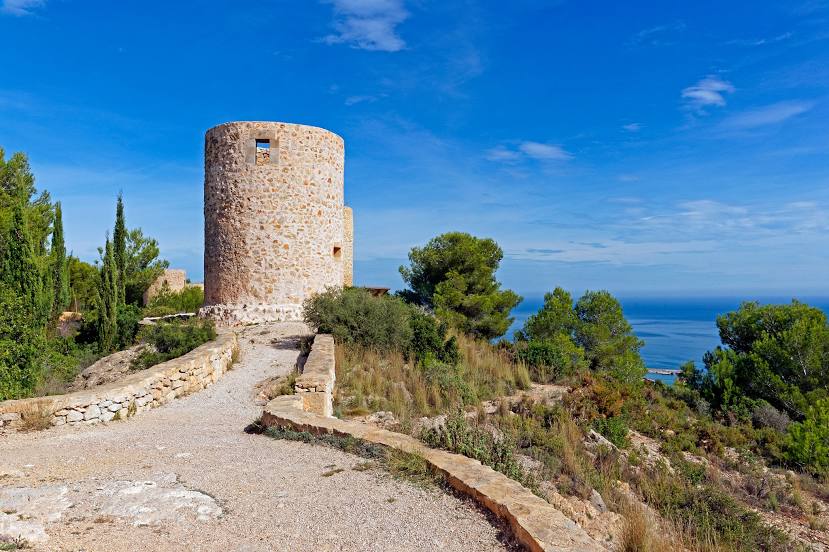
Parque Natural del Montgó — local attraction, which is located at 03730 Xàbia, Alicante, Spain and belongs to the category — national park. Average visitor rating for this place — 4.7 (according to 3709 ratings, information from open sources and relevant for 2022).
Exact location — Parque Natural del Montgó, marked on the map with a red marker.
You can get directions to Parque Natural del Montgó on the map from your location.
What else is interesting in Dénia? You can see all the sights if you go to the city page.
Coordinates
Parque Natural del Montgó, Spain coordinates in decimal format: latitude — 38.809121422539576, longitude — 0.11654158183786067. When converted to degrees, minutes, seconds Parque Natural del Montgó has the following coordinates: 38°48′32.84 north latitude and 0°6′59.55 east longitude.
Nearby cities
The largest cities that are located nearby:
- Valencia — 81 km
- Murcia — 143 km
- Cartagena — 165 km
- Albacete — 170 km
- Palma — 231 km
- Tarragona — 269 km
- Lleida — 310 km
- Chlef
 (Algeria) — 315 km
 - Almería — 317 km
- Zaragoza — 321 km
- L'Hospitalet de Llobregat — 325 km
- Santa Coloma de Gramenet — 337 km
- Badalona — 339 km
- Terrassa — 340 km
- Sabadell — 342 km
- Alcala de Henares — 344 km
- Relizane (Algeria) — 346 km
- Algiers (Algeria) — 348 km
- Torrejón de Ardoz — 350 km
Distance to the capital
Distance to the capital (Madrid) is about — 373 km.