 Raub
Wales
Harlem
Malta
Norma
Washington
Lancaster
Columbus
Kulm
Mooresville
Missouri
Rico
Mar
Boots
Olympia
Belmont
Reforms
South Carolina
Clarion
Raub
Wales
Harlem
Malta
Norma
Washington
Lancaster
Columbus
Kulm
Mooresville
Missouri
Rico
Mar
Boots
Olympia
Belmont
Reforms
South Carolina
Clarion
Colleyville on the map, United States
Where is located Colleyville
Exact location — Colleyville, Tarrant County, Texas, United States, marked on the map with a red marker.
Coordinates
Colleyville, United States coordinates in decimal format: latitude — 32.8809603, longitude — -97.155012. When converted to degrees, minutes, seconds Colleyville has the following coordinates: 32°52′51.46 north latitude and -97°9′18.04 east longitude.
Population
Colleyville, Tarrant County, Texas, United States, according to our data the population is — 22,807 residents, which is about 0% of the total population of the country (United States).
Comparison of the population on the graph:
Exact time
Time zone for this location Colleyville — UTC -5 America/Chicago. Exact time — thursday, 4 april 2024 year, 21 h. 38 minutes.
Sunrise and sunset
Colleyville, sunrise and sunset data for a date — thursday 25.04.2024.
| Sunrise | Sunset | Day (duration) |
|---|---|---|
| 06:49 -1 minute | 20:03 +1 minute | 13 h. 12 minutes. +2 minutes |
You can control the scale of the map using the auxiliary tools to find out exactly where it is located Colleyville. When you change the scale of the map, the width of the ruler also changes (in kilometers and miles).
Nearby cities
The largest cities that are located nearby:
- Arlington — 17 km
- Irving — 21 km
- Grand Prairie — 21 km
- Fort Worth — 21 km
- Carrollton — 27 km
- Dallas — 35 km
- Denton — 37 km
- Richardson — 40 km
- Frisco — 43 km
- Plano — 45 km
- Garland — 48 km
- Mesquite — 53 km
- Waco — 147 km
- Wichita Falls — 168 km
- Killeen — 202 km
- Abilene — 245 km
- Norman — 260 km
- Oklahoma City — 288 km
- Austin — 294 km
Distance to neighboring capitals:
- Mexico City
 (Mexico) — 1509 km
 - Belmopan
 (Belize) — 1931 km
 - Guatemala City
 (Guatemala) — 2139 km
 - Ottawa
 (Canada) — 2305 km
 - Nuuk
 (Greenland) — 4649 km
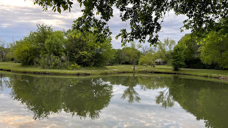
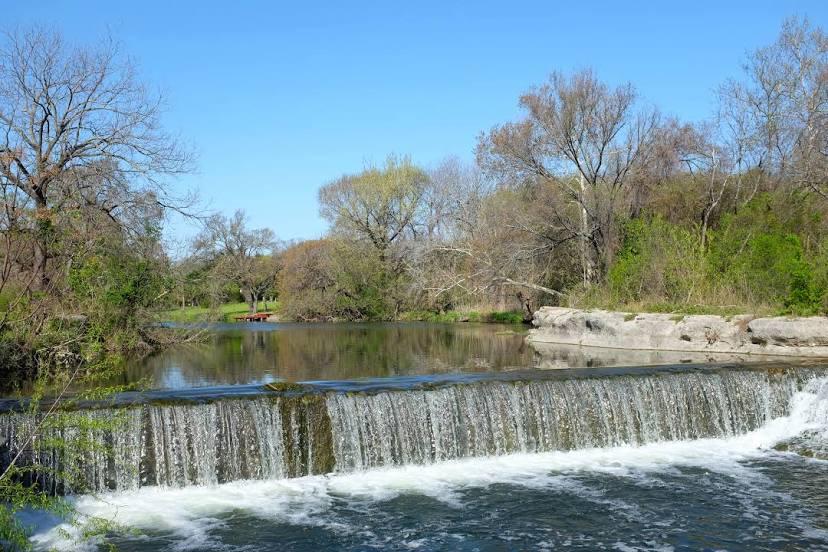
Attractions


Distance to the capital
Distance to the capital (Washington) is about — 1928 km.