
 Osma
Cigudosa
Berlanga de Duero
Arevalo de la Sierra
Arbujuelo
Almaluez
Cuellar
The Olmillo
Fuentesoto
Torrejoncillo
Canary Islands
Estartit
Ecay of Lónguida
Campins
Asturias
Castellón de la Plana
Melilla
Pangua
San José
Osma
Cigudosa
Berlanga de Duero
Arevalo de la Sierra
Arbujuelo
Almaluez
Cuellar
The Olmillo
Fuentesoto
Torrejoncillo
Canary Islands
Estartit
Ecay of Lónguida
Campins
Asturias
Castellón de la Plana
Melilla
Pangua
San José
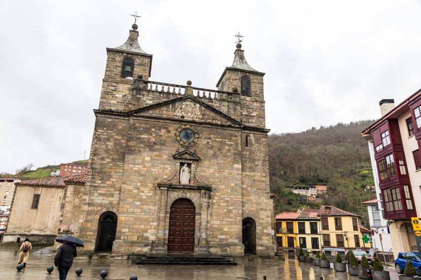
Cangas del Narcea on the map, Spain
Where is located Cangas del Narcea
Exact location — Cangas del Narcea, Asturias, Asturias, Spain, marked on the map with a red marker.
Coordinates
Cangas del Narcea, Spain coordinates in decimal format: latitude — 43.1773837, longitude — -6.5498404. When converted to degrees, minutes, seconds Cangas del Narcea has the following coordinates: 43°10′38.58 north latitude and -6°32′59.43 east longitude.
Population
Cangas del Narcea, Asturias, Asturias, Spain, according to our data the population is — 14,589 residents, which is about 0% of the total population of the country (Spain).
Comparison of the population on the graph:
Exact time
Time zone for this location Cangas del Narcea — UTC +2 Europe/Madrid. Exact time — thursday, 5 may 2024 year, 03 h. 08 minutes.
Sunrise and sunset
Cangas del Narcea, sunrise and sunset data for a date — thursday 9.05.2024.
| Sunrise | Sunset | Day (duration) |
|---|---|---|
| 07:11 -2 minutes | 21:33 +1 minute | 14 h. 24 minutes. +3 minutes |
You can control the scale of the map using the auxiliary tools to find out exactly where it is located Cangas del Narcea. When you change the scale of the map, the width of the ruler also changes (in kilometers and miles).
Nearby cities
The largest cities that are located nearby:
- Oviedo — 60 km
- Gijón — 81 km
- León — 102 km
- Ourense — 142 km
- A Coruña — 151 km
- Vigo — 206 km
- Santander — 222 km
- Valladolid — 226 km
- Braga
 (Portugal) — 238 km
 - Burgos — 251 km
- Salamanca — 255 km
- Porto (Portugal) — 283 km
- Bilbao — 291 km
- Vitoria-Gasteiz — 315 km
- Logroño — 344 km
- Coimbra (Portugal) — 364 km
- San Sebastián — 368 km
- Alcobendas — 381 km
- Alcorcón — 388 km
Distance to neighboring capitals:
- Lisbon (Portugal) — 541 km
- Andorra la Vella
 (Andorra) — 662 km
 - Paris
 (France) — 933 km
 - Paris (France) — 933 km
- Rabat
 (Morocco) — 1024 km
Attractions

Distance to the capital
Distance to the capital (Madrid) is about — 387 km.