Três de Maio — Maracanaú
Três de Maio — Caravelas
Três de Maio — Alto Paraná
Três de Maio — Oeiras
Três de Maio — São Lourenço da Mata
Três de Maio — Castro
Três de Maio — Balneário Rincão
Três de Maio — Paraipaba
Três de Maio — Pérola
Três de Maio — Rubiataba
Três de Maio — Acarape
Três de Maio — Cascavel
Três de Maio — Guaramirim
Três de Maio — Bujaru
Três de Maio — Canindé
Três de Maio — Coelho Neto
Três de Maio — Carapebus
Três de Maio — State of Maranhão
Três de Maio — Matilde
Sede Nova
Campo Novo
Palmeira das Missões
Sarandi
Ronda Alta
Paulo Bento
Erechim
Concórdia
Irani
General Carneiro
União da Vitória
Canoinhas
Mafra
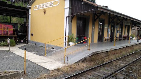
Três de Maio — Rio Negrinho distance, route on the map
Distance by car
Distance between Três de Maio, Rio Grande do Sul, Brazil and Rio Negrinho, Santa Catarina, Brazil by car is — km, or miles. To travel this distance by car, you need minute, or h.
Route on the map, driving directions
Car route Três de Maio — Rio Negrinho was created automatically. The road on the map is shown as a blue line. By moving the markers, you can create a new route through the points you need.
Passing cities through which the car route passes: Boa Vista do Buricá, Sede Nova, Campo Novo, Palmeira das Missões, Sarandi, Ronda Alta, Paulo Bento, Erechim, Concórdia, Irani, General Carneiro, União da Vitória, Canoinhas, Mafra.
Distance by plane
If you decide to take a trip Três de Maio Rio Negrinho by plane, then you have to fly the distance — 497 km or 308 miles. It is marked on the map with a gray line (between two points in a straight line).
Flight time
Estimated flight time Três de Maio Rio Negrinho by plane at cruising speed 750 km / h will be — 39 min.
Direction of movement
Brazil, Três de Maio — right-hand traffic. Brazil, Rio Negrinho — right-hand traffic.
Difference in time
Três de Maio and Rio Negrinho are in the same time zone. Between them there is no time difference (UTC -3 America/Sao_Paulo).
Interesting Facts
Information on alternative ways to get to your destination.
The length of this distance is about 1.2% of the total length of the equator.
The percentage of the population is clearly shown in the graph:
Três de Maio — 18,278 (less by 23,637), Rio Negrinho — 41,915 residents.
The cost of travel
Calculate the cost of the trip yourself using the fuel consumption calculator, changing the data in the table.