 Shelbyville
Newark
Ligonier
Andrews
Oslo
Aztec
Madison
Dutch Village
Rhode Island
Nebraska
Middlesex
Nebraska
Borup
Cokeville
Jute
Wallace
Laclede
Staten Island
Jay County
Shelbyville
Newark
Ligonier
Andrews
Oslo
Aztec
Madison
Dutch Village
Rhode Island
Nebraska
Middlesex
Nebraska
Borup
Cokeville
Jute
Wallace
Laclede
Staten Island
Jay County
Johns Creek on the map, United States
Where is located Johns Creek
Exact location — Johns Creek, Fulton County, Georgia, United States, marked on the map with a red marker.
Coordinates
Johns Creek, United States coordinates in decimal format: latitude — 34.0289259, longitude — -84.198579. When converted to degrees, minutes, seconds Johns Creek has the following coordinates: 34°1′44.13 north latitude and -84°11′54.88 east longitude.
Population
Johns Creek, Fulton County, Georgia, United States, according to our data the population is — 76,728 residents, which is about 0% of the total population of the country (United States).
Comparison of the population on the graph:
Exact time
Time zone for this location Johns Creek — UTC -4 America/New_York. Exact time — friday, 4 april 2024 year, 17 h. 03 minutes.
Sunrise and sunset
Johns Creek, sunrise and sunset data for a date — friday 26.04.2024.
| Sunrise | Sunset | Day (duration) |
|---|---|---|
| 06:54 -1 minute | 20:14 +1 minute | 13 h. 18 minutes. +2 minutes |
You can control the scale of the map using the auxiliary tools to find out exactly where it is located Johns Creek. When you change the scale of the map, the width of the ruler also changes (in kilometers and miles).
Nearby cities
The largest cities that are located nearby:
- Atlanta — 36 km
- Chattanooga — 151 km
- Knoxville — 215 km
- Huntsville — 230 km
- Birmingham — 247 km
- Montgomery — 269 km
- Columbia — 290 km
- Nashville — 330 km
- Charlotte — 331 km
- Savannah — 361 km
- Clarksville — 394 km
- Tallahassee — 397 km
- Charleston — 420 km
- Winston-Salem — 421 km
- Greensboro — 454 km
- Jacksonville — 475 km
- Louisville — 486 km
- Fayetteville — 495 km
- Gainesville — 516 km
Distance to neighboring capitals:
- Ottawa
 (Canada) — 1459 km
 - Belmopan
 (Belize) — 1921 km
 - Mexico City
 (Mexico) — 2194 km
 - Guatemala City
 (Guatemala) — 2252 km
 - Nuuk
 (Greenland) — 4011 km
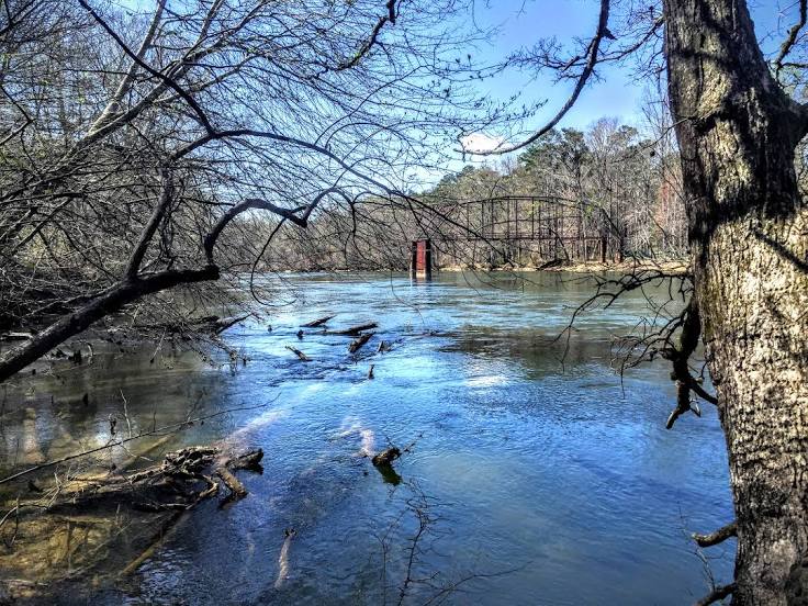
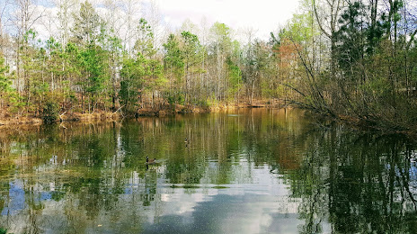
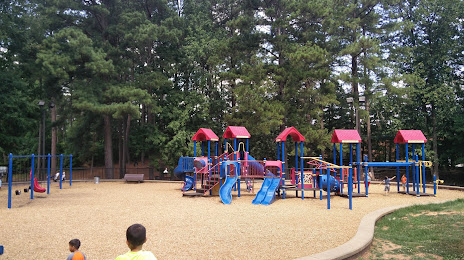
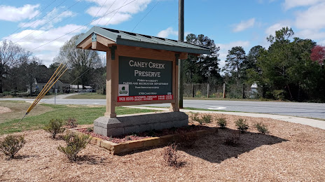
Attractions


Distance to the capital
Distance to the capital (Washington) is about — 839 km.