Asheboro — Ephraim
Asheboro — Anaktuvuk Pass
Asheboro — Temple
Asheboro — The Woodlands
Asheboro — Carthage
Asheboro — McPherson
Asheboro — Kittrell
Asheboro — Wheelock
Asheboro — Jerry City
Asheboro — College Park
Asheboro — Muleshoe
Asheboro — Stoutsville
Asheboro — Mohnton
Asheboro — Quartzsite
Asheboro — South Pittsburg
Asheboro — Crete
Asheboro — Sunbury
Asheboro — Arnegard
Asheboro — Panola
Terre Haute
Vigo County
Greenup
Effingham
Mulberry Grove
Smithboro
Greenville
Pierron
Highland
Glen Carbon
Collinsville
Caseyville
Granite City
East Saint Louis
St. Louis
St. Louis
Clayton
Kirkwood
Fenton
Eureka
Gray Summit
Villa Ridge
Bourbon
Rolla
Fort Leonard Wood
Saint Robert
Stoutland
Laclede County
Niangua
Springfield
Republic
Bois D'Arc
Halltown
Miller
Sarcoxie
Joplin
Quapaw
Miami
Vinita
Big Cabin
Adair
Claremore
Catoosa
Fair Oaks
Bixby
Broken Arrow
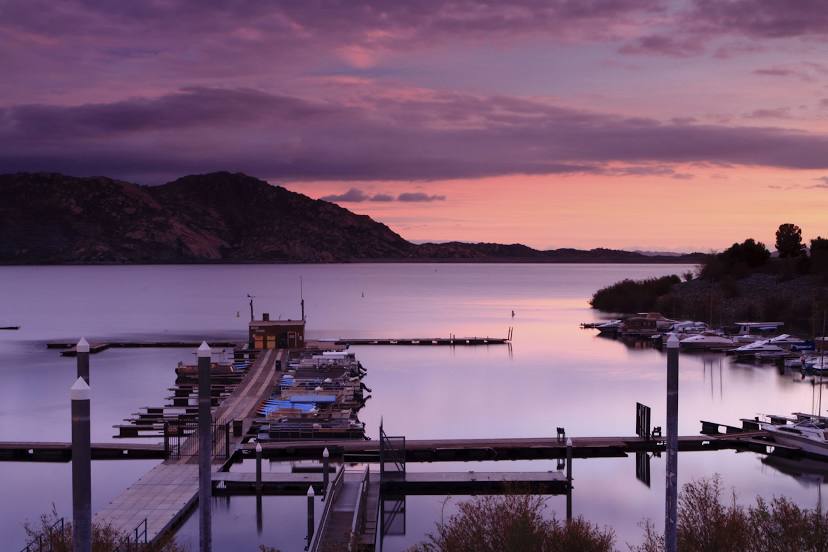
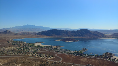
Asheboro — Moreno Valley distance, route on the map
Distance by car
Distance between Asheboro, Indiana, United States and Moreno Valley, California, United States by car is — km, or miles. To travel this distance by car, you need minute, or h.
Route on the map, driving directions
Car route Asheboro — Moreno Valley was created automatically. The road on the map is shown as a blue line. By moving the markers, you can create a new route through the points you need.
Passing cities through which the car route passes: Cory, Terre Haute, Vigo County, Greenup, Effingham, Mulberry Grove, Smithboro, Greenville, Pierron, Highland, Glen Carbon, Collinsville, Caseyville, Granite City, East Saint Louis, St. Louis, St. Louis, Clayton, Kirkwood, Fenton, Eureka, Gray Summit, Villa Ridge, Bourbon, Rolla, Fort Leonard Wood, Saint Robert, Stoutland, Laclede County, Niangua, Springfield, Republic, Bois D'Arc, Halltown, Miller, Sarcoxie, Joplin, Quapaw, Miami, Vinita, Big Cabin, Adair, Claremore, Catoosa, Fair Oaks, Bixby, Broken Arrow.
Distance by plane
If you decide to take a trip Asheboro Moreno Valley by plane, then you have to fly the distance — 2741 km or 1699 miles. It is marked on the map with a gray line (between two points in a straight line).
Flight time
Estimated flight time Asheboro Moreno Valley by plane at cruising speed 750 km / h will be — 3 h. and 39 min.
Direction of movement
United States, Asheboro — right-hand traffic. United States, Moreno Valley — right-hand traffic.
Difference in time
Asheboro and Moreno Valley are in different time zones. The time difference is 3 hours (UTC -4 America/New_York, UTC -7 America/Los_Angeles).
Interesting Facts
Information on alternative ways to get to your destination.
The length of this distance is about 6.8% of the total length of the equator.
The cost of travel
Calculate the cost of the trip yourself using the fuel consumption calculator, changing the data in the table.