Sainte-Croix-aux-Mines — Santa-Maria-Poggio
Sainte-Croix-aux-Mines — Betschdorf
Sainte-Croix-aux-Mines — Lixhausen
Sainte-Croix-aux-Mines — Solliès-Pont
Sainte-Croix-aux-Mines — La Palme
Sainte-Croix-aux-Mines — Mauregard
Sainte-Croix-aux-Mines — Bietlenheim
Sainte-Croix-aux-Mines — Levallois-Perret
Sainte-Croix-aux-Mines — Herpelmont
Sainte-Croix-aux-Mines — Rivedoux-Plage
Sainte-Croix-aux-Mines — Le Gros-Theil
Sainte-Croix-aux-Mines — Raon-l'Étape
Sainte-Croix-aux-Mines — Romont
Sainte-Croix-aux-Mines — Cires-lès-Mello
Sainte-Croix-aux-Mines — Boudrac
Sainte-Croix-aux-Mines — Mourèze
Sainte-Croix-aux-Mines — Thourotte
Sainte-Croix-aux-Mines — Éteignières
Sainte-Croix-aux-Mines — Dompierre-les-Ormes
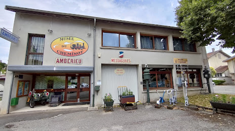
Sainte-Croix-aux-Mines — Ambérieu-en-Bugey distance, route on the map
Distance by car
Distance between Sainte-Croix-aux-Mines, Alsace, France and Ambérieu-en-Bugey, Auvergne-Rhône-Alpes, France by car is — km, or miles. To travel this distance by car, you need minute, or h.
Route on the map, driving directions
Car route Sainte-Croix-aux-Mines — Ambérieu-en-Bugey was created automatically. The road on the map is shown as a blue line. By moving the markers, you can create a new route through the points you need.
Distance by plane
If you decide to take a trip Sainte-Croix-aux-Mines Ambérieu-en-Bugey by plane, then you have to fly the distance — 293 km or 182 miles. It is marked on the map with a gray line (between two points in a straight line).
Flight time
Estimated flight time Sainte-Croix-aux-Mines Ambérieu-en-Bugey by plane at cruising speed 750 km / h will be — 23 min.
Direction of movement
France, Sainte-Croix-aux-Mines — right-hand traffic. France, Ambérieu-en-Bugey — right-hand traffic.
Difference in time
Sainte-Croix-aux-Mines and Ambérieu-en-Bugey are in the same time zone. Between them there is no time difference (UTC +2 Europe/Paris).
Interesting Facts
Information on alternative ways to get to your destination.
The length of this distance is about 0.7% of the total length of the equator.
The percentage of the population is clearly shown in the graph:
Sainte-Croix-aux-Mines — 2,122 (less by 11,138), Ambérieu-en-Bugey — 13,260 residents.
The cost of travel
Calculate the cost of the trip yourself using the fuel consumption calculator, changing the data in the table.