
 Duszniki-Zdrój
Pieszyce
Stoszowice
Stronie Śląskie
Krempna
Mogilany
Osiek Jasielski
Oleszyce
Rajgród
Jaworzyna Śląska
Kowal
Sroda Slaska
Syców
Kruszwica
Aleksandrów Kujawski
Sokolka
Strzelno
Niemce
Banie
Duszniki-Zdrój
Pieszyce
Stoszowice
Stronie Śląskie
Krempna
Mogilany
Osiek Jasielski
Oleszyce
Rajgród
Jaworzyna Śląska
Kowal
Sroda Slaska
Syców
Kruszwica
Aleksandrów Kujawski
Sokolka
Strzelno
Niemce
Banie
Zlotoryja on the map, Poland
Where is located Zlotoryja
Exact location — Zlotoryja, Złotoryja County, Lower Silesian Voivodeship, Poland, marked on the map with a red marker.
Coordinates
Zlotoryja, Poland coordinates in decimal format: latitude — 51.1259316, longitude — 15.9213852. When converted to degrees, minutes, seconds Zlotoryja has the following coordinates: 51°7′33.35 north latitude and 15°55′16.99 east longitude.
Population
Zlotoryja, Złotoryja County, Lower Silesian Voivodeship, Poland, according to our data the population is — 16,612 residents, which is about 0% of the total population of the country (Poland).
Comparison of the population on the graph:
Exact time
Time zone for this location Zlotoryja — UTC +2 Europe/Warsaw. Exact time — thursday, 5 may 2024 year, 03 h. 53 minutes.
Sunrise and sunset
Zlotoryja, sunrise and sunset data for a date — thursday 16.05.2024.
| Sunrise | Sunset | Day (duration) |
|---|---|---|
| 05:07 -2 minutes | 20:37 +1 minute | 15 h. 30 minutes. +3 minutes |
You can control the scale of the map using the auxiliary tools to find out exactly where it is located Zlotoryja. When you change the scale of the map, the width of the ruler also changes (in kilometers and miles).
Nearby cities
The largest cities that are located nearby:
- Legnica — 19 km
- Walbrzych — 46 km
- Wrocław — 78 km
- Zielona Gora — 94 km
- Cottbus
 (Germany) — 129 km
 - Opole — 149 km
- Dresden (Germany) — 152 km
- Prague
 (Czech Republic) — 157 km
 - Poznań — 157 km
- Kalisz — 164 km
- Gorzów Wielkopolski — 183 km
- Olomouc (Czech Republic) — 194 km
- Chemnitz (Germany) — 212 km
- Gliwice — 215 km
- Rybnik — 218 km
- Brno (Czech Republic) — 219 km
- Ostrava (Czech Republic) — 221 km
- Zabrze — 221 km
- Częstochowa — 226 km
Distance to neighboring capitals:
- Prague (Czech Republic) — 157 km
- Berlin (Germany) — 232 km
- Vienna
 (Austria) — 326 km
 - Bratislava
 (Slovakia) — 342 km
 - Budapest
 (Hungary) — 462 km
 - Copenhagen
 (Denmark) — 553 km
 - Vilnius
 (Lithuania) — 741 km
 - Amsterdam
 (Netherlands) — 771 km
 - Bern
 (Switzerland) — 773 km
 - Belgrade
 (Serbia) — 781 km
 - Rīga
 (Latvia) — 839 km
 - Minsk
 (Belarus) — 845 km
 - Paris
 (France) — 1001 km
 - Kyiv
 (Ukraine) — 1028 km
 - Bucharest
 (Romania) — 1063 km
 - Helsinki
 (Finland) — 1152 km
 - Moscow
 (Russia) — 1519 km
 - Tbilisi
 (Georgia) — 2427 km
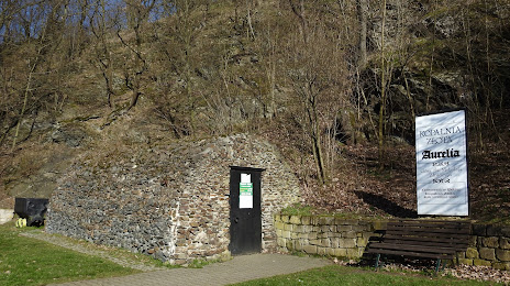
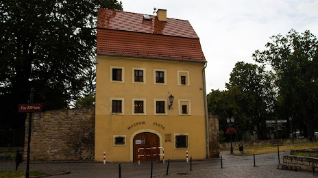
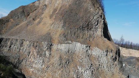
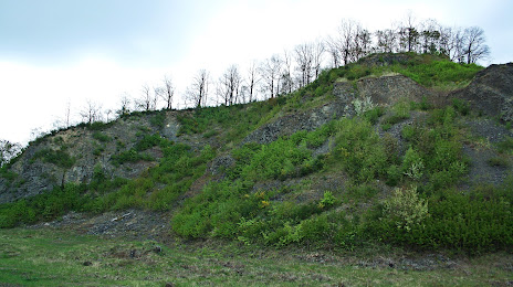
Attractions
Distance to the capital
Distance to the capital (Warsaw) is about — 372 km.