
 Fréchencourt
Creissels
Le Thour
Saint-Martin-du-Tertre
Trévoux
Brissac-Quince
Sainte-Anne-d'Auray
Montdoré
Thiberville
Authiou
Authumes
Avelanges
Avosnes
Arquian
Moussey
Annéot
La Chaux
Tivernon
Josnes
Fréchencourt
Creissels
Le Thour
Saint-Martin-du-Tertre
Trévoux
Brissac-Quince
Sainte-Anne-d'Auray
Montdoré
Thiberville
Authiou
Authumes
Avelanges
Avosnes
Arquian
Moussey
Annéot
La Chaux
Tivernon
Josnes
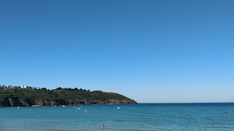
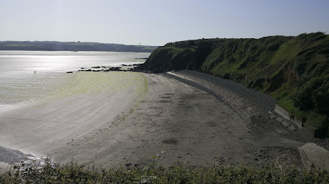
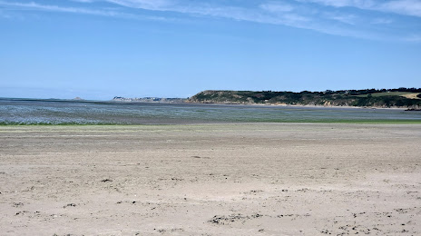
Ploufragan on the map, France
Where is located Ploufragan
Exact location — Ploufragan, Côtes d'Armor, Brittany, France, marked on the map with a red marker.
Coordinates
Ploufragan, France coordinates in decimal format: latitude — 48.488781, longitude — -2.794373. When converted to degrees, minutes, seconds Ploufragan has the following coordinates: 48°29′19.61 north latitude and -2°47′39.74 east longitude.
Population
Ploufragan, Côtes d'Armor, Brittany, France, according to our data the population is — 11,577 residents, which is about 0% of the total population of the country (France).
Comparison of the population on the graph:
Exact time
Time zone for this location Ploufragan — UTC +2 Europe/Paris. Exact time — friday, 5 may 2024 year, 09 h. 48 minutes.
Sunrise and sunset
Ploufragan, sunrise and sunset data for a date — friday 10.05.2024.
| Sunrise | Sunset | Day (duration) |
|---|---|---|
| 06:40 -1 minute | 21:34 +1 minute | 14 h. 54 minutes. +2 minutes |
You can control the scale of the map using the auxiliary tools to find out exactly where it is located Ploufragan. When you change the scale of the map, the width of the ruler also changes (in kilometers and miles).
Nearby cities
The largest cities that are located nearby:
- Rennes — 92 km
- Brest — 125 km
- Nantes — 169 km
- Caen — 191 km
- Angers — 201 km
- Le Mans — 228 km
- Le Havre — 236 km
- Exeter
 (United Kingdom) — 252 km
 - Bournemouth (United Kingdom) — 255 km
- Portsmouth (United Kingdom) — 284 km
- Southampton (United Kingdom) — 285 km
- Tours — 287 km
- Rouen — 299 km
- Bristol (Great Britain) — 328 km
- Eastbourne (United Kingdom) — 332 km
- Crawley (United Kingdom) — 342 km
- Swindon (United Kingdom) — 346 km
- Reading (United Kingdom) — 351 km
- Orléans — 355 km
Distance to neighboring capitals:
- London (United Kingdom) — 386 km
- Brussels
 (Belgium) — 577 km
 - Amsterdam
 (Netherlands) — 695 km
 - Andorra la Vella
 (Andorra) — 745 km
 - Bern
 (Switzerland) — 784 km
 - Madrid
 (Spain) — 901 km
 - Vaduz
 (Liechtenstein) — 931 km
 - Lisbon
 (Portugal) — 1199 km
 - Berlin
 (Germany) — 1227 km
 - Prague
 (Czech Republic) — 1260 km
 - Copenhagen
 (Denmark) — 1315 km
 - Rome
 (Italy) — 1401 km
 - Vienna
 (Austria) — 1414 km
 - Warsaw
 (Poland) — 1731 km
 - Nicosia
 — 3302 km
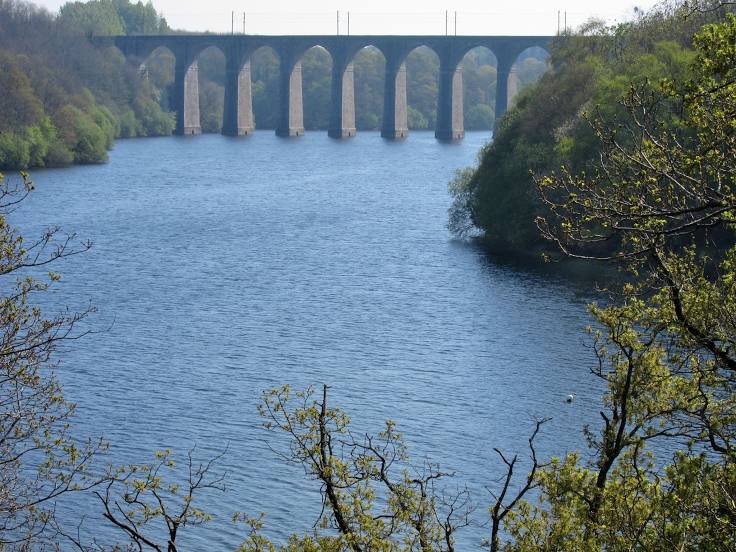
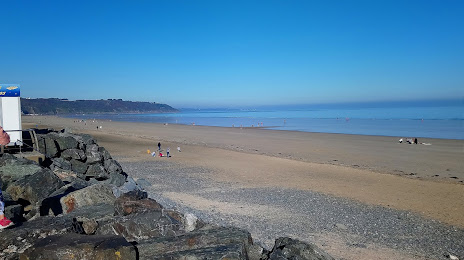
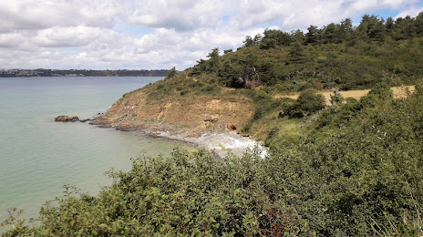
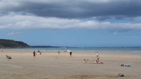
Attractions


Distance to the capital
Distance to the capital (Paris) is about — 380 km.