Amapá — Parnaíba
Amapá — Tietê
Amapá — Assis Chateaubriand
Amapá — Plano Alto
Amapá — Taquaritinga
Amapá — Brasilia
Amapá — Ubarana
Amapá — Schroeder
Amapá — Arealva
Amapá — Passa Quatro
Amapá — Panamá
Amapá — Santo Antônio do Grama
Amapá — Osasco
Amapá — Piratuba
Amapá — São Paulo
Amapá — Pinhais
Amapá — Monte Alegre de Minas
Amapá — Gararu
Amapá — Tubarão
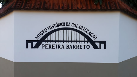
Amapá — Pereira Barreto distance, route on the map
Distance by car
Distance between Amapá, Amapá, Brazil and Pereira Barreto, São Paulo, Brazil by car is — km, or miles. To travel this distance by car, you need minute, or h.
Route on the map, driving directions
Car route Amapá — Pereira Barreto was created automatically. The road on the map is shown as a blue line. By moving the markers, you can create a new route through the points you need.
Distance by plane
If you decide to take a trip Amapá Pereira Barreto by plane, then you have to fly the distance — 2524 km or 1565 miles. It is marked on the map with a gray line (between two points in a straight line).
Flight time
Estimated flight time Amapá Pereira Barreto by plane at cruising speed 750 km / h will be — 3 h. and 21 min.
Direction of movement
Brazil, Amapá — right-hand traffic. Brazil, Pereira Barreto — right-hand traffic.
Difference in time
Amapá and Pereira Barreto are in the same time zone. Between them there is no time difference (UTC -3 America/Fortaleza).
Interesting Facts
Information on alternative ways to get to your destination.
The length of this distance is about 6.3% of the total length of the equator.
The cost of travel
Calculate the cost of the trip yourself using the fuel consumption calculator, changing the data in the table.