
 Chèvremont
Les Landes
Saint-Nazaire-des-Gardies
Riquewihr
Entre-Deux-Guiers
Merxheim
Oberhaslach
Epinal
Saint-Michel-sur-Meurthe
Bouzonville
Mulhouse
The Jard
Teuillac
Ars-sur-Moselle
2000 arc
Arc 2000
Canet
Fumay
Arville
Chèvremont
Les Landes
Saint-Nazaire-des-Gardies
Riquewihr
Entre-Deux-Guiers
Merxheim
Oberhaslach
Epinal
Saint-Michel-sur-Meurthe
Bouzonville
Mulhouse
The Jard
Teuillac
Ars-sur-Moselle
2000 arc
Arc 2000
Canet
Fumay
Arville
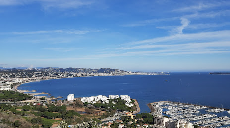
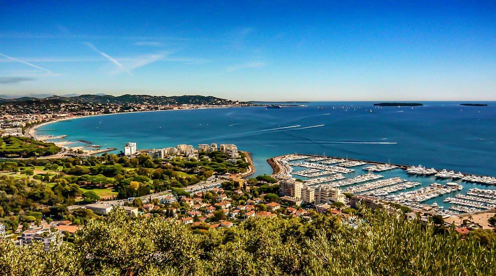
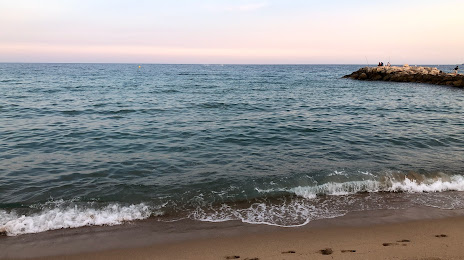
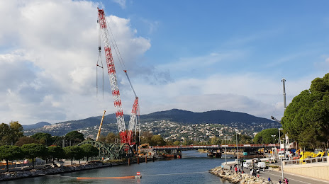
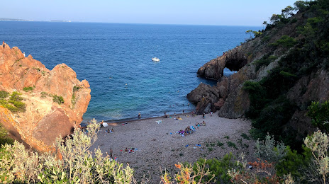
Mandelieu-la-Napoule on the map, France
Where is located Mandelieu-la-Napoule
Exact location — Mandelieu-la-Napoule, Alpes-Maritimes, Provence-Alpes-Côte d'Azur, France, marked on the map with a red marker.
Coordinates
Mandelieu-la-Napoule, France coordinates in decimal format: latitude — 43.546232, longitude — 6.938309. When converted to degrees, minutes, seconds Mandelieu-la-Napoule has the following coordinates: 43°32′46.44 north latitude and 6°56′17.91 east longitude.
Population
Mandelieu-la-Napoule, Alpes-Maritimes, Provence-Alpes-Côte d'Azur, France, according to our data the population is — 19,292 residents, which is about 0% of the total population of the country (France).
Comparison of the population on the graph:
Exact time
Time zone for this location Mandelieu-la-Napoule — UTC +2 Europe/Paris. Exact time — thursday, 5 may 2024 year, 07 h. 48 minutes.
Sunrise and sunset
Mandelieu-la-Napoule, sunrise and sunset data for a date — thursday 16.05.2024.
| Sunrise | Sunset | Day (duration) |
|---|---|---|
| 06:09 -1 minute | 20:47 +1 minute | 14 h. 36 minutes. +2 minutes |
You can control the scale of the map using the auxiliary tools to find out exactly where it is located Mandelieu-la-Napoule. When you change the scale of the map, the width of the ruler also changes (in kilometers and miles).
Nearby cities
The largest cities that are located nearby:
- Nice — 32 km
- Toulon — 94 km
- Aix-en-Provence — 120 km
- Marseille — 129 km
- Turin
 (Italy) — 178 km
 - Genoa (Italy) — 185 km
- Grenoble — 205 km
- Nimes — 208 km
- Montpellier — 245 km
- Novara (Italy) — 247 km
- Livorno (Italy) — 270 km
- Milan (Italy) — 275 km
- Saint-Étienne — 288 km
- Monza (Italy) — 289 km
- Villeurbanne — 292 km
- Lyon — 294 km
- Geneva
 (Switzerland) — 299 km
 - Parma (Italy) — 300 km
- Bergamo (Italy) — 318 km
Distance to neighboring capitals:
- Bern (Switzerland) — 380 km
- Vaduz
 (Liechtenstein) — 448 km
 - Andorra la Vella
 (Andorra) — 455 km
 - Rome (Italy) — 489 km
- Brussels
 (Belgium) — 835 km
 - Vienna
 (Austria) — 895 km
 - Prague
 (Czech Republic) — 923 km
 - Madrid
 (Spain) — 945 km
 - Amsterdam
 (Netherlands) — 993 km
 - London
 (United Kingdom) — 1031 km
 - Berlin
 (Germany) — 1107 km
 - Copenhagen
 (Denmark) — 1408 km
 - Warsaw
 (Poland) — 1422 km
 - Lisbon
 (Portugal) — 1447 km
 - Nicosia
 — 2443 km
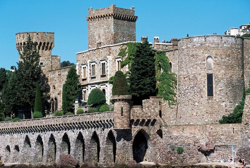
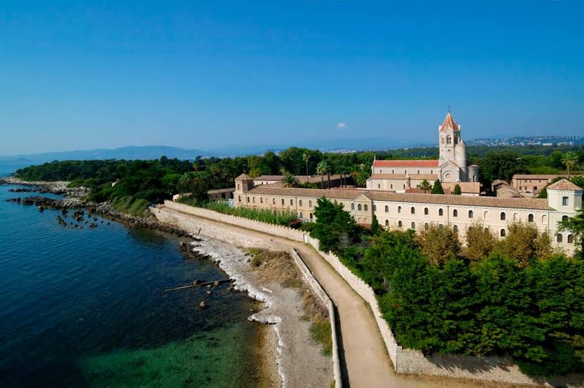
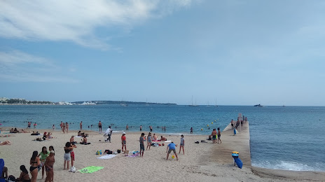
Attractions


Distance to the capital
Distance to the capital (Paris) is about — 688 km.