
 Santa Faz
Calonge
Boada
Pozuelo de Alarcón
Villaverde del Río
Hontoria del Pinar
Alcúdia
Soto del Real
Gama
Palos de la Frontera
Molíns
Campofrío
Orga
Colmenar Viejo
Villarejo de Salvanés
Narón
Sant Cugat del Vallès
Huerta
Durango
Santa Faz
Calonge
Boada
Pozuelo de Alarcón
Villaverde del Río
Hontoria del Pinar
Alcúdia
Soto del Real
Gama
Palos de la Frontera
Molíns
Campofrío
Orga
Colmenar Viejo
Villarejo de Salvanés
Narón
Sant Cugat del Vallès
Huerta
Durango
Torrelodones on the map, Spain
Where is located Torrelodones
Exact location — Torrelodones, Madrid, Comunidad de Madrid, Spain, marked on the map with a red marker.
Coordinates
Torrelodones, Spain coordinates in decimal format: latitude — 40.5766078, longitude — -3.9293646. When converted to degrees, minutes, seconds Torrelodones has the following coordinates: 40°34′35.79 north latitude and -3°55′45.71 east longitude.
Population
Torrelodones, Madrid, Comunidad de Madrid, Spain, according to our data the population is — 17,214 residents, which is about 0% of the total population of the country (Spain).
Comparison of the population on the graph:
Exact time
Time zone for this location Torrelodones — UTC +2 Europe/Madrid. Exact time — sunday, 5 may 2024 year, 01 h. 04 minutes.
Sunrise and sunset
Torrelodones, sunrise and sunset data for a date — sunday 12.05.2024.
| Sunrise | Sunset | Day (duration) |
|---|---|---|
| 07:04 -1 minute | 21:19 +1 minute | 14 h. 18 minutes. +2 minutes |
You can control the scale of the map using the auxiliary tools to find out exactly where it is located Torrelodones. When you change the scale of the map, the width of the ruler also changes (in kilometers and miles).
Nearby cities
The largest cities that are located nearby:
- Alcobendas — 25 km
- Alcorcón — 27 km
- Móstoles — 28 km
- Leganés — 30 km
- Fuenlabrada — 33 km
- Getafe — 34 km
- Torrejón de Ardoz — 40 km
- Alcala de Henares — 49 km
- Valladolid — 136 km
- Salamanca — 151 km
- Burgos — 196 km
- Logroño — 241 km
- Albacete — 250 km
- León — 260 km
- Vitoria-Gasteiz — 272 km
- Zaragoza — 278 km
- Córdoba — 306 km
- Bilbao — 308 km
- Pamplona — 309 km
Distance to neighboring capitals:
- Lisbon
 (Portugal) — 491 km
 - Andorra la Vella
 (Andorra) — 502 km
 - Rabat
 (Morocco) — 779 km
 - Paris
 (France) — 1045 km
 - Paris (France) — 1045 km
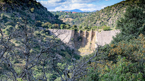
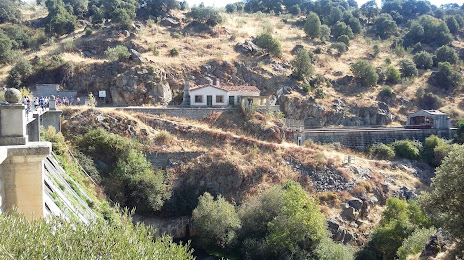
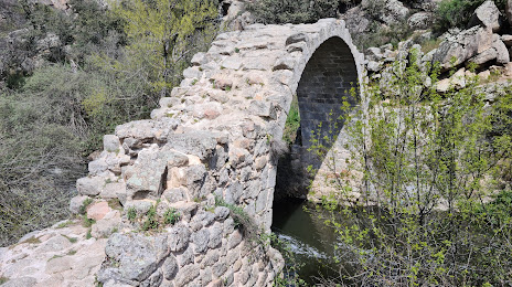
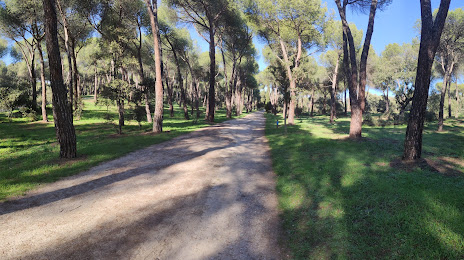
Attractions


Distance to the capital
Distance to the capital (Madrid) is about — 26 km.