
 Oñati
Azuqueca de Henares
Maspalomas
Quart de Poblet
Felguera
Llanos del Caudillo
Sangüesa
Tordera
Cristóbal
Feria
Los Cristianos
Mahon
Ceal
Torrelodones
Castillo de Locubín
Benimodo
Pedro Martínez
Válor
Artà
Oñati
Azuqueca de Henares
Maspalomas
Quart de Poblet
Felguera
Llanos del Caudillo
Sangüesa
Tordera
Cristóbal
Feria
Los Cristianos
Mahon
Ceal
Torrelodones
Castillo de Locubín
Benimodo
Pedro Martínez
Válor
Artà
Pozuelo de Alarcón on the map, Spain
Where is located Pozuelo de Alarcón
Exact location — Pozuelo de Alarcón, Madrid, Comunidad de Madrid, Spain, marked on the map with a red marker.
Coordinates
Pozuelo de Alarcón, Spain coordinates in decimal format: latitude — 40.4440049, longitude — -3.8056526. When converted to degrees, minutes, seconds Pozuelo de Alarcón has the following coordinates: 40°26′38.42 north latitude and -3°48′20.35 east longitude.
Population
Pozuelo de Alarcón, Madrid, Comunidad de Madrid, Spain, according to our data the population is — 83,173 residents, which is about 0.2% of the total population of the country (Spain).
Comparison of the population on the graph:
Exact time
Time zone for this location Pozuelo de Alarcón — UTC +2 Europe/Madrid. Exact time — sunday, 4 april 2024 year, 06 h. 45 minutes.
Sunrise and sunset
Pozuelo de Alarcón, sunrise and sunset data for a date — sunday 28.04.2024.
| Sunrise | Sunset | Day (duration) |
|---|---|---|
| 07:20 -1 minute | 21:04 +1 minute | 13 h. 42 minutes. +2 minutes |
You can control the scale of the map using the auxiliary tools to find out exactly where it is located Pozuelo de Alarcón. When you change the scale of the map, the width of the ruler also changes (in kilometers and miles).
Nearby cities
The largest cities that are located nearby:
- Alcorcón — 11 km
- Leganés — 13 km
- Móstoles — 14 km
- Getafe — 16 km
- Fuenlabrada — 17 km
- Alcobendas — 18 km
- Torrejón de Ardoz — 28 km
- Alcala de Henares — 37 km
- Valladolid — 154 km
- Salamanca — 166 km
- Burgos — 210 km
- Albacete — 232 km
- Logroño — 249 km
- Zaragoza — 275 km
- León — 278 km
- Vitoria-Gasteiz — 282 km
- Jaén — 295 km
- Córdoba — 295 km
- Valencia — 312 km
Distance to neighboring capitals:
- Lisbon
 (Portugal) — 496 km
 - Andorra la Vella
 (Andorra) — 500 km
 - Rabat
 (Morocco) — 769 km
 - Paris
 (France) — 1054 km
 - Paris (France) — 1054 km
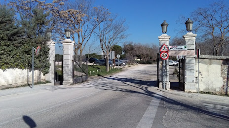
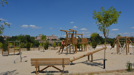
Attractions


Distance to the capital
Distance to the capital (Madrid) is about — 9 km.