
 Vega de San Mateo
Berge
Ferrero
Don Benito
La Orotava
Clariana de Cardener
Salt
Hoyos
Fuentes de Andalucía
Soto del Real
Alcúdia
Hontoria del Pinar
Villaverde del Río
Pozuelo de Alarcón
Boada
Calonge
Santa Faz
Borriana
Getafe
Vega de San Mateo
Berge
Ferrero
Don Benito
La Orotava
Clariana de Cardener
Salt
Hoyos
Fuentes de Andalucía
Soto del Real
Alcúdia
Hontoria del Pinar
Villaverde del Río
Pozuelo de Alarcón
Boada
Calonge
Santa Faz
Borriana
Getafe
Quart de Poblet on the map, Spain
Where is located Quart de Poblet
Exact location — Quart de Poblet, Valencia, Valencian Community, Spain, marked on the map with a red marker.
Coordinates
Quart de Poblet, Spain coordinates in decimal format: latitude — 39.4825816, longitude — -0.4448669. When converted to degrees, minutes, seconds Quart de Poblet has the following coordinates: 39°28′57.29 north latitude and -0°26′41.52 east longitude.
Population
Quart de Poblet, Valencia, Valencian Community, Spain, according to our data the population is — 25,499 residents, which is about 0.1% of the total population of the country (Spain).
Comparison of the population on the graph:
Exact time
Time zone for this location Quart de Poblet — UTC +2 Europe/Madrid. Exact time — sunday, 5 may 2024 year, 14 h. 14 minutes.
Sunrise and sunset
Quart de Poblet, sunrise and sunset data for a date — sunday 12.05.2024.
| Sunrise | Sunset | Day (duration) |
|---|---|---|
| 06:53 -1 minute | 21:02 -0 minutes | 14 h. 12 minutes. +1 minute |
You can control the scale of the map using the auxiliary tools to find out exactly where it is located Quart de Poblet. When you change the scale of the map, the width of the ruler also changes (in kilometers and miles).
Nearby cities
The largest cities that are located nearby:
- Valencia — 6 km
- Albacete — 133 km
- Murcia — 175 km
- Cartagena — 211 km
- Tarragona — 229 km
- Zaragoza — 242 km
- Lleida — 252 km
- Palma — 264 km
- Alcala de Henares — 269 km
- Torrejón de Ardoz — 277 km
- Getafe — 292 km
- Alcobendas — 292 km
- Leganés — 295 km
- Fuenlabrada — 297 km
- L'Hospitalet de Llobregat — 298 km
- Alcorcón — 301 km
- Móstoles — 303 km
- Terrassa — 307 km
- Santa Coloma de Gramenet — 309 km
Distance to neighboring capitals:
- Andorra la Vella
 (Andorra) — 375 km
 - Lisbon
 (Portugal) — 755 km
 - Rabat
 (Morocco) — 837 km
 - Paris
 (France) — 1066 km
 - Paris (France) — 1066 km
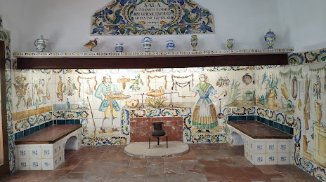
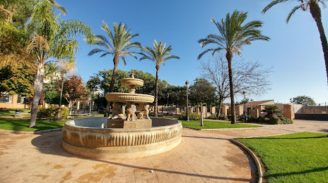
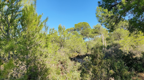
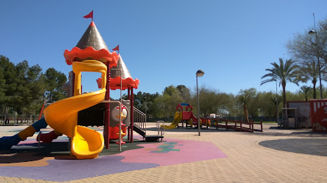
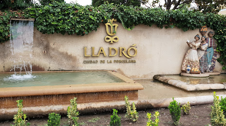
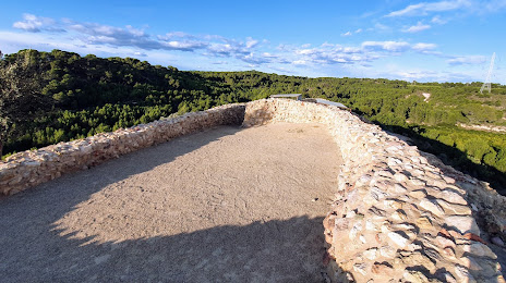
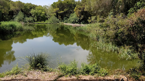
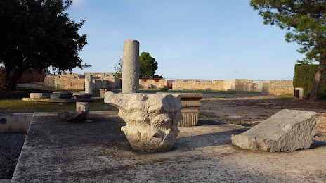
Attractions


Distance to the capital
Distance to the capital (Madrid) is about — 297 km.