
 Canales
Los Molinos
Santa Cruz de la Palma
Villena
Figueruelas
Mérida
Alcalá de Guadaira
Oliva de la Frontera
Estella
Tordera
Sangüesa
Llanos del Caudillo
Felguera
Quart de Poblet
Maspalomas
Azuqueca de Henares
Oñati
Cañada del Hoyo
Camargo
Canales
Los Molinos
Santa Cruz de la Palma
Villena
Figueruelas
Mérida
Alcalá de Guadaira
Oliva de la Frontera
Estella
Tordera
Sangüesa
Llanos del Caudillo
Felguera
Quart de Poblet
Maspalomas
Azuqueca de Henares
Oñati
Cañada del Hoyo
Camargo
Don Benito on the map, Spain
Where is located Don Benito
Exact location — Don Benito, Badajoz, Extremadura, Spain, marked on the map with a red marker.
Coordinates
Don Benito, Spain coordinates in decimal format: latitude — 38.954463, longitude — -5.8618982. When converted to degrees, minutes, seconds Don Benito has the following coordinates: 38°57′16.07 north latitude and -5°51′42.83 east longitude.
Population
Don Benito, Badajoz, Extremadura, Spain, according to our data the population is — 31,425 residents, which is about 0.1% of the total population of the country (Spain).
Comparison of the population on the graph:
Exact time
Time zone for this location Don Benito — UTC +2 Europe/Madrid. Exact time — sunday, 4 april 2024 year, 05 h. 18 minutes.
Sunrise and sunset
Don Benito, sunrise and sunset data for a date — sunday 28.04.2024.
| Sunrise | Sunset | Day (duration) |
|---|---|---|
| 07:31 -1 minute | 21:10 +1 minute | 13 h. 42 minutes. +2 minutes |
You can control the scale of the map using the auxiliary tools to find out exactly where it is located Don Benito. When you change the scale of the map, the width of the ruler also changes (in kilometers and miles).
Nearby cities
The largest cities that are located nearby:
- Badajoz — 96 km
- Córdoba — 151 km
- Dos Hermanas — 184 km
- Huelva — 210 km
- Jaén — 223 km
- Salamanca — 223 km
- Móstoles — 226 km
- Fuenlabrada — 228 km
- Alcorcón — 230 km
- Leganés — 233 km
- Getafe — 234 km
- Jerez — 252 km
- Coimbra
 (Portugal) — 256 km
 - Alcobendas — 256 km
- Torrejón de Ardoz — 261 km
- Alcala de Henares — 270 km
- Cádiz — 271 km
- Málaga — 278 km
- Granada — 280 km
Distance to neighboring capitals:
- Lisbon (Portugal) — 285 km
- Rabat
 (Morocco) — 561 km
 - Andorra la Vella
 (Andorra) — 737 km
 - Paris
 (France) — 1281 km
 - Paris (France) — 1281 km
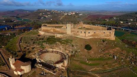
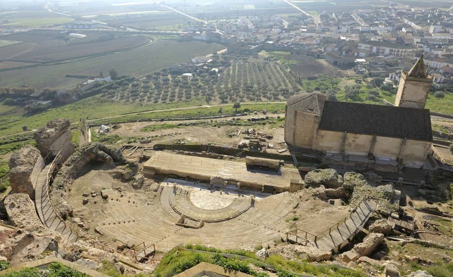
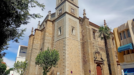
Attractions

Distance to the capital
Distance to the capital (Madrid) is about — 246 km.