
 Zarautz
Olaberria
Llorenç del Penedès
Santa María de Cayón
Venta de Baños
Calera de León
Ferrol
Rebolledo
Coslada
Don Benito
Ferrero
Berge
Vega de San Mateo
Villalobos
San Andrés
Teruel
Peñalver
Cortes de Aragón
Yuncos
Zarautz
Olaberria
Llorenç del Penedès
Santa María de Cayón
Venta de Baños
Calera de León
Ferrol
Rebolledo
Coslada
Don Benito
Ferrero
Berge
Vega de San Mateo
Villalobos
San Andrés
Teruel
Peñalver
Cortes de Aragón
Yuncos
Soria on the map, Spain
Where is located Soria
Exact location — Soria, Soria, Castilla y León, Spain, marked on the map with a red marker.
Coordinates
Soria, Spain coordinates in decimal format: latitude — 41.7665972, longitude — -2.4790306. When converted to degrees, minutes, seconds Soria has the following coordinates: 41°45′59.75 north latitude and -2°28′44.51 east longitude.
Population
Soria, Soria, Castilla y León, Spain, according to our data the population is — 35,129 residents, which is about 0.1% of the total population of the country (Spain).
Comparison of the population on the graph:
Exact time
Time zone for this location Soria — UTC +2 Europe/Madrid. Exact time — saturday, 5 may 2024 year, 11 h. 08 minutes.
Sunrise and sunset
Soria, sunrise and sunset data for a date — saturday 4.05.2024.
| Sunrise | Sunset | Day (duration) |
|---|---|---|
| 07:05 -1 minute | 21:08 +1 minute | 14 h. 6 minutes. +2 minutes |
You can control the scale of the map using the auxiliary tools to find out exactly where it is located Soria. When you change the scale of the map, the width of the ruler also changes (in kilometers and miles).
Nearby cities
The largest cities that are located nearby:
- Logroño — 77 km
- Burgos — 118 km
- Vitoria-Gasteiz — 122 km
- Zaragoza — 132 km
- Pamplona — 134 km
- Alcala de Henares — 160 km
- Alcobendas — 167 km
- Torrejón de Ardoz — 167 km
- Bilbao — 169 km
- San Sebastián — 176 km
- Valladolid — 186 km
- Leganés — 192 km
- Getafe — 193 km
- Alcorcón — 194 km
- Fuenlabrada — 198 km
- Móstoles — 198 km
- Santander — 216 km
- Lleida — 257 km
- León — 268 km
Distance to neighboring capitals:
- Andorra la Vella
 (Andorra) — 340 km
 - Lisbon
 (Portugal) — 659 km
 - Paris
 (France) — 874 km
 - Paris (France) — 874 km
- Rabat
 (Morocco) — 948 km
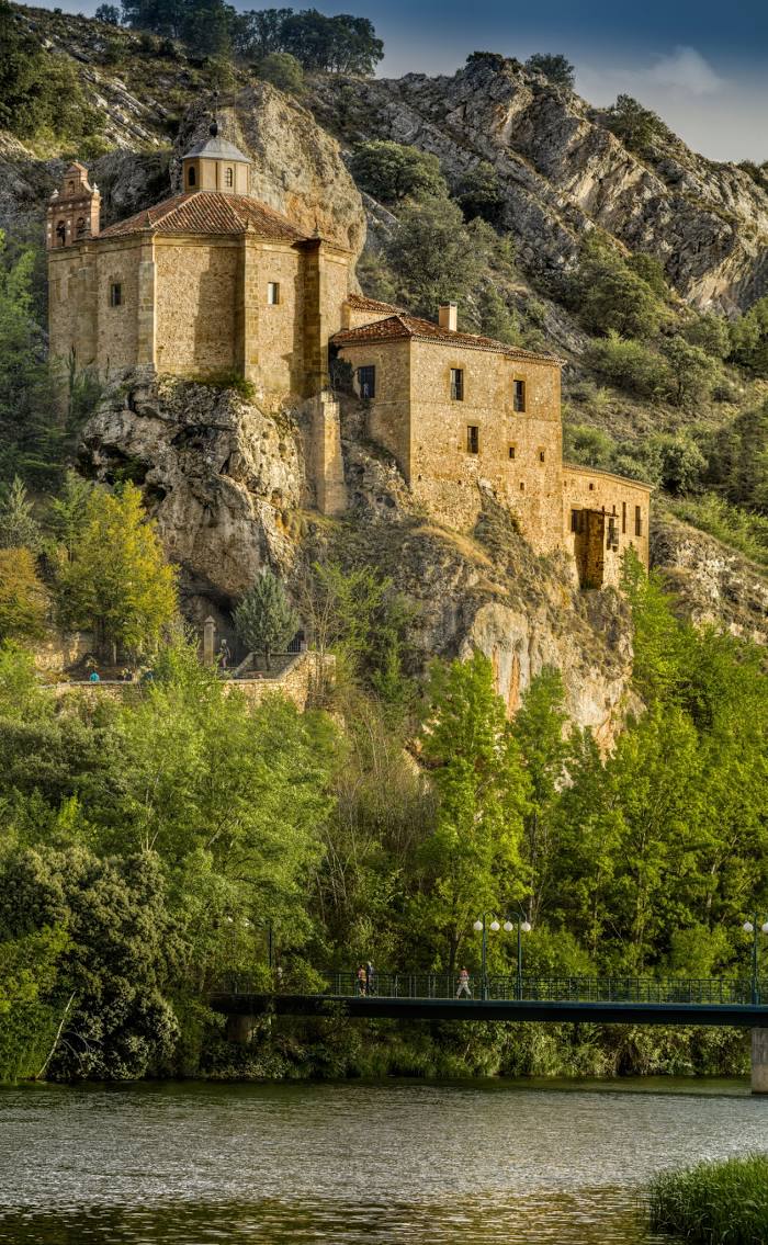
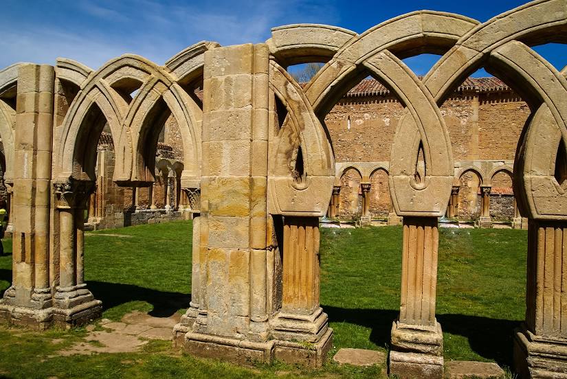
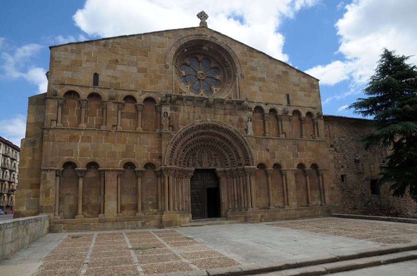
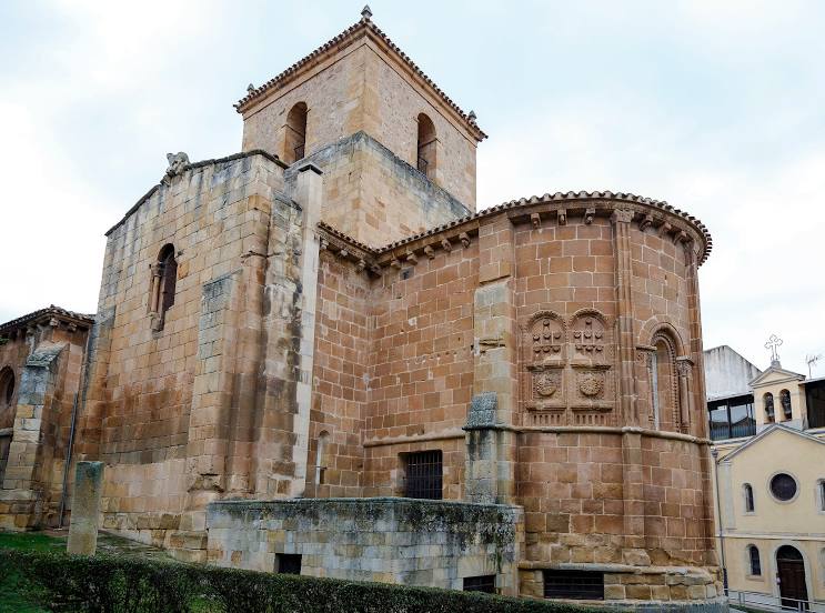
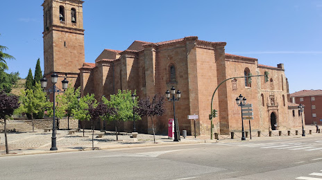
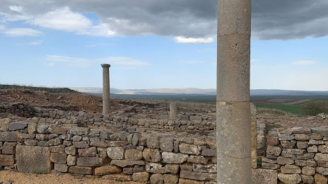
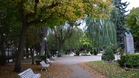
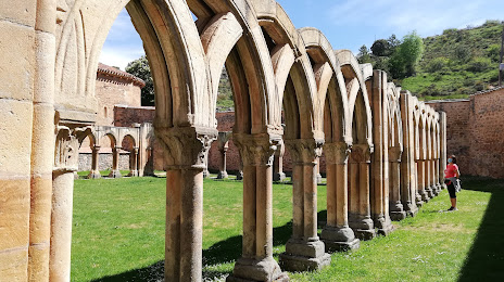
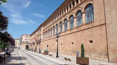
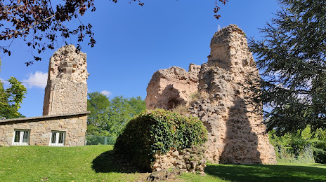
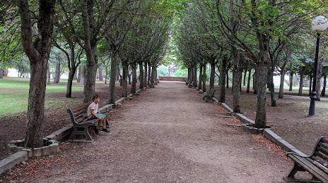
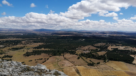
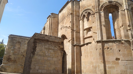
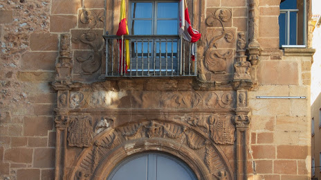
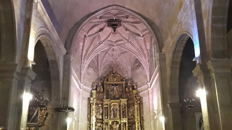
Attractions


Distance to the capital
Distance to the capital (Madrid) is about — 182 km.