
 Premià de Dalt
Sant Andreu
El Burgo de Osma
Masquefa
Ontinyent
Algora
Vita
Talavera de la Reina
Usurbil
Alcalá de Guadaira
Mérida
Figueruelas
Villena
Santa Cruz de la Palma
Los Molinos
Canales
Soria
Montilla
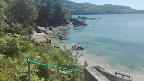
O Pereiro de Aguiar
Premià de Dalt
Sant Andreu
El Burgo de Osma
Masquefa
Ontinyent
Algora
Vita
Talavera de la Reina
Usurbil
Alcalá de Guadaira
Mérida
Figueruelas
Villena
Santa Cruz de la Palma
Los Molinos
Canales
Soria
Montilla
O Pereiro de Aguiar
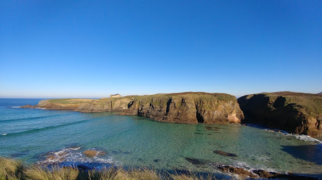
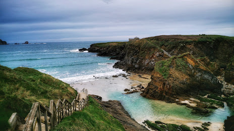
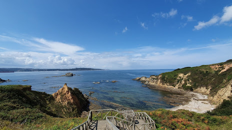
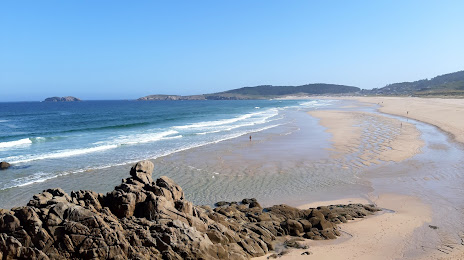
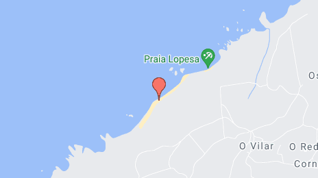
Ferrol on the map, Spain
Where is located Ferrol
Exact location — Ferrol, A Coruña, Galicia, Spain, marked on the map with a red marker.
Coordinates
Ferrol, Spain coordinates in decimal format: latitude — 43.489646, longitude — -8.2193451. When converted to degrees, minutes, seconds Ferrol has the following coordinates: 43°29′22.73 north latitude and -8°13′9.64 east longitude.
Population
Ferrol, A Coruña, Galicia, Spain, according to our data the population is — 78,689 residents, which is about 0.2% of the total population of the country (Spain).
Comparison of the population on the graph:
Exact time
Time zone for this location Ferrol — UTC +2 Europe/Madrid. Exact time — sunday, 5 may 2024 year, 13 h. 20 minutes.
Sunrise and sunset
Ferrol, sunrise and sunset data for a date — sunday 12.05.2024.
| Sunrise | Sunset | Day (duration) |
|---|---|---|
| 07:14 -1 minute | 21:44 +1 minute | 14 h. 30 minutes. +2 minutes |
You can control the scale of the map using the auxiliary tools to find out exactly where it is located Ferrol. When you change the scale of the map, the width of the ruler also changes (in kilometers and miles).
Nearby cities
The largest cities that are located nearby:
- A Coruña — 21 km
- Ourense — 131 km
- Vigo — 144 km
- Oviedo — 191 km
- Gijón — 205 km
- Braga
 (Portugal) — 216 km
 - León — 237 km
- Porto (Portugal) — 260 km
- Salamanca — 351 km
- Valladolid — 353 km
- Santander — 354 km
- Coimbra (Portugal) — 364 km
- Burgos — 391 km
- Bilbao — 426 km
- Vitoria-Gasteiz — 454 km
- Logroño — 484 km
- San Sebastián — 502 km
- Alcobendas — 505 km
- Móstoles — 507 km
Distance to neighboring capitals:
- Lisbon (Portugal) — 536 km
- Andorra la Vella
 (Andorra) — 799 km
 - Paris
 (France) — 1008 km
 - Paris (France) — 1008 km
- Rabat
 (Morocco) — 1065 km
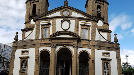
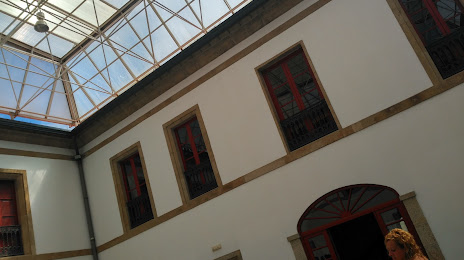
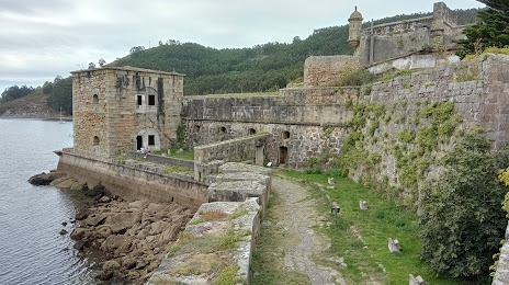
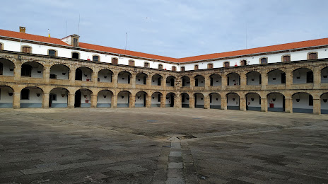
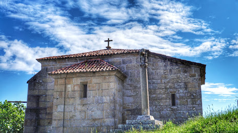
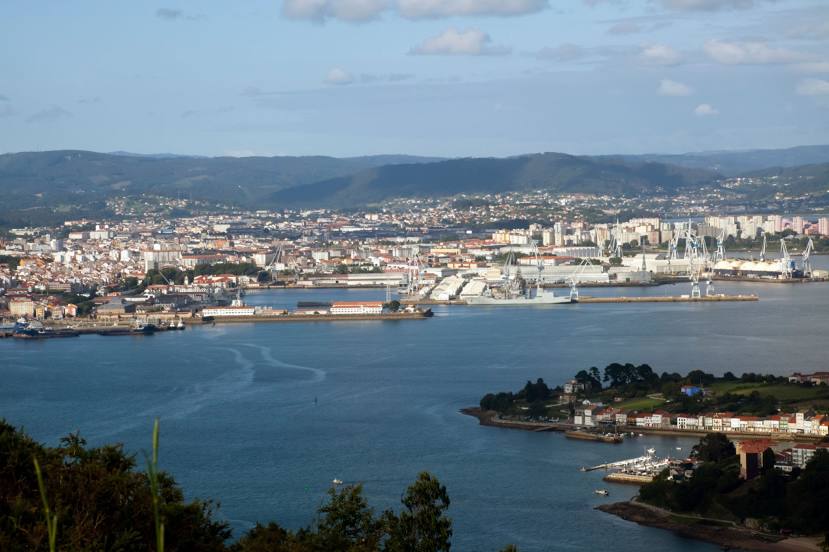
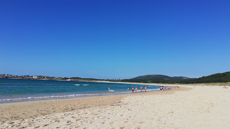
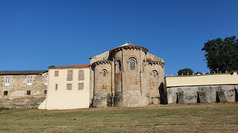
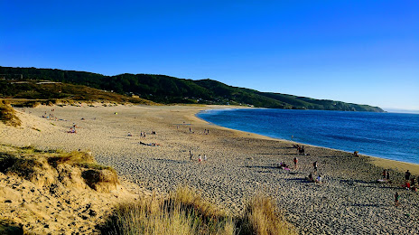
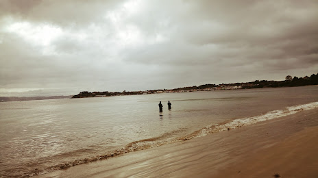
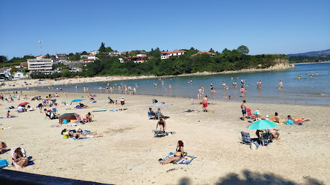
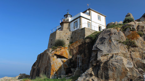
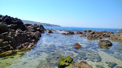
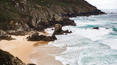
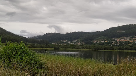
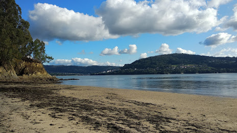
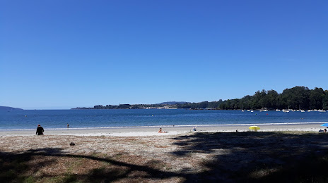
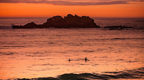
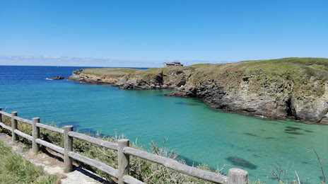
Attractions

Distance to the capital
Distance to the capital (Madrid) is about — 506 km.