
 Castalla
Zarautz
Olaberria
Llorenç del Penedès
Santa María de Cayón
Venta de Baños
Calera de León
Ferrol
Rebolledo
Ferrero
Berge
Vega de San Mateo
Villalobos
San Andrés
Teruel
Peñalver
Cortes de Aragón
Yuncos
Cristóbal
Castalla
Zarautz
Olaberria
Llorenç del Penedès
Santa María de Cayón
Venta de Baños
Calera de León
Ferrol
Rebolledo
Ferrero
Berge
Vega de San Mateo
Villalobos
San Andrés
Teruel
Peñalver
Cortes de Aragón
Yuncos
Cristóbal
Montilla on the map, Spain
Where is located Montilla
Exact location — Montilla, Córdoba, Andalucía, Spain, marked on the map with a red marker.
Coordinates
Montilla, Spain coordinates in decimal format: latitude — 37.5877237, longitude — -4.6372866. When converted to degrees, minutes, seconds Montilla has the following coordinates: 37°35′15.81 north latitude and -4°38′14.23 east longitude.
Population
Montilla, Córdoba, Andalucía, Spain, according to our data the population is — 23,157 residents, which is about 0% of the total population of the country (Spain).
Comparison of the population on the graph:
Exact time
Time zone for this location Montilla — UTC +2 Europe/Madrid. Exact time — monday, 4 april 2024 year, 07 h. 19 minutes.
Sunrise and sunset
Montilla, sunrise and sunset data for a date — monday 29.04.2024.
| Sunrise | Sunset | Day (duration) |
|---|---|---|
| 07:27 -1 minute | 21:03 +1 minute | 13 h. 36 minutes. +2 minutes |
You can control the scale of the map using the auxiliary tools to find out exactly where it is located Montilla. When you change the scale of the map, the width of the ruler also changes (in kilometers and miles).
Nearby cities
The largest cities that are located nearby:
- Córdoba — 35 km
- Jaén — 77 km
- Málaga — 98 km
- Granada — 102 km
- Dos Hermanas — 118 km
- Marbella — 121 km
- Jerez — 165 km
- Algeciras — 176 km
- Cádiz — 188 km
- Huelva — 206 km
- Almería — 210 km
- Tangier
 (Morocco) — 229 km
 - Tetouan (Morocco) — 233 km
- Badajoz — 246 km
- Albacete — 285 km
- Fuenlabrada — 307 km
- Murcia — 309 km
- Nador (Morocco) — 309 km
- Móstoles — 309 km
Distance to neighboring capitals:
- Lisbon
 (Portugal) — 413 km
 - Rabat (Morocco) — 449 km
- Andorra la Vella
 (Andorra) — 757 km
 - Paris
 (France) — 1374 km
 - Paris (France) — 1374 km
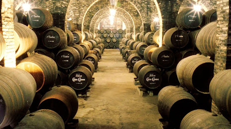
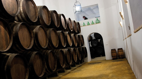
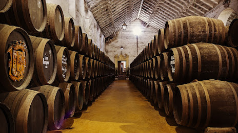
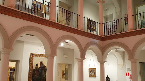
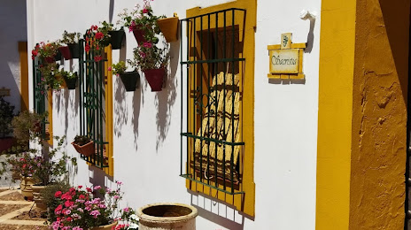
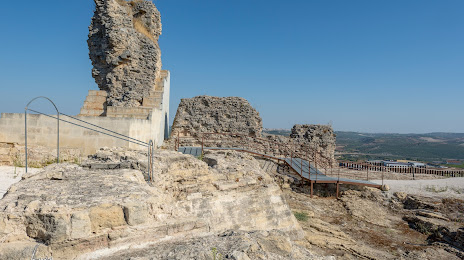
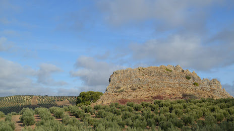
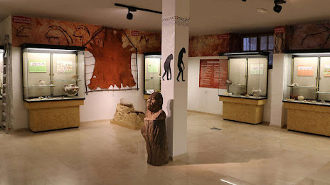
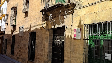
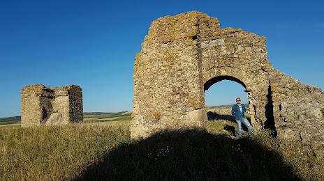
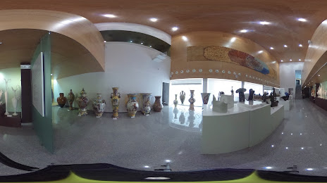
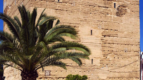
Attractions


Distance to the capital
Distance to the capital (Madrid) is about — 325 km.