
 Javier
Torrelavega
Mugardos
Marcilla
Etxebarria
San Pedro
Retamar
Noblejas
La Selva
Sant Julià de Ramis
Maià de Montcal
Bera
Calella
Écija
Roma
Coslada
Rebolledo
Ferrol
Calera de León
Javier
Torrelavega
Mugardos
Marcilla
Etxebarria
San Pedro
Retamar
Noblejas
La Selva
Sant Julià de Ramis
Maià de Montcal
Bera
Calella
Écija
Roma
Coslada
Rebolledo
Ferrol
Calera de León
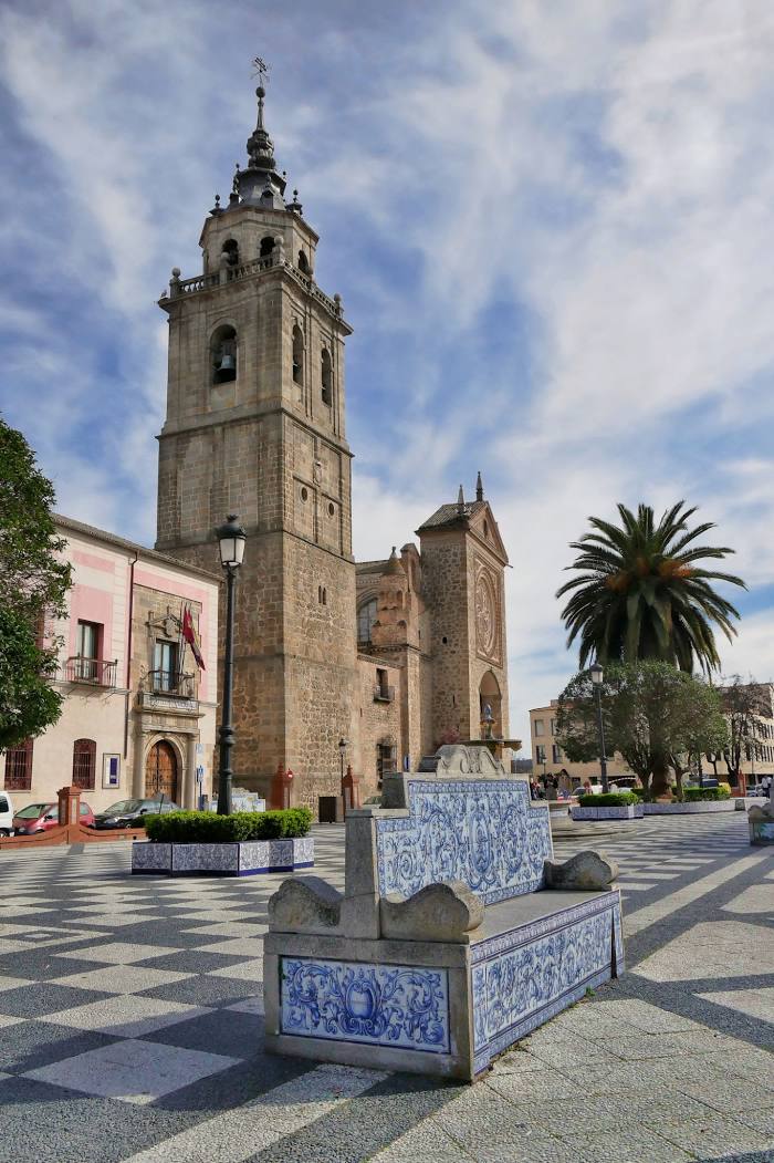
Talavera de la Reina on the map, Spain
Where is located Talavera de la Reina
Exact location — Talavera de la Reina, Toledo, Castilla-La Mancha, Spain, marked on the map with a red marker.
Coordinates
Talavera de la Reina, Spain coordinates in decimal format: latitude — 39.962884, longitude — -4.8304536. When converted to degrees, minutes, seconds Talavera de la Reina has the following coordinates: 39°57′46.38 north latitude and -4°49′49.63 east longitude.
Population
Talavera de la Reina, Toledo, Castilla-La Mancha, Spain, according to our data the population is — 82,704 residents, which is about 0.2% of the total population of the country (Spain).
Comparison of the population on the graph:
Exact time
Time zone for this location Talavera de la Reina — UTC +2 Europe/Madrid. Exact time — friday, 5 may 2024 year, 11 h. 36 minutes.
Sunrise and sunset
Talavera de la Reina, sunrise and sunset data for a date — friday 10.05.2024.
| Sunrise | Sunset | Day (duration) |
|---|---|---|
| 07:11 -1 minute | 21:19 +1 minute | 14 h. 6 minutes. +2 minutes |
You can control the scale of the map using the auxiliary tools to find out exactly where it is located Talavera de la Reina. When you change the scale of the map, the width of the ruler also changes (in kilometers and miles).
Nearby cities
The largest cities that are located nearby:
- Móstoles — 90 km
- Fuenlabrada — 94 km
- Alcorcón — 95 km
- Leganés — 98 km
- Getafe — 100 km
- Alcobendas — 119 km
- Torrejón de Ardoz — 126 km
- Salamanca — 131 km
- Alcala de Henares — 136 km
- Valladolid — 187 km
- Badajoz — 220 km
- Córdoba — 229 km
- Jaén — 258 km
- Albacete — 277 km
- Burgos — 279 km
- León — 298 km
- Coimbra
 (Portugal) — 303 km
 - Dos Hermanas — 311 km
- Granada — 327 km
Distance to neighboring capitals:
- Lisbon (Portugal) — 395 km
- Andorra la Vella
 (Andorra) — 602 km
 - Rabat
 (Morocco) — 690 km
 - Paris
 (France) — 1141 km
 - Paris (France) — 1141 km
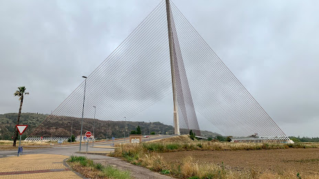
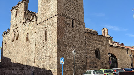
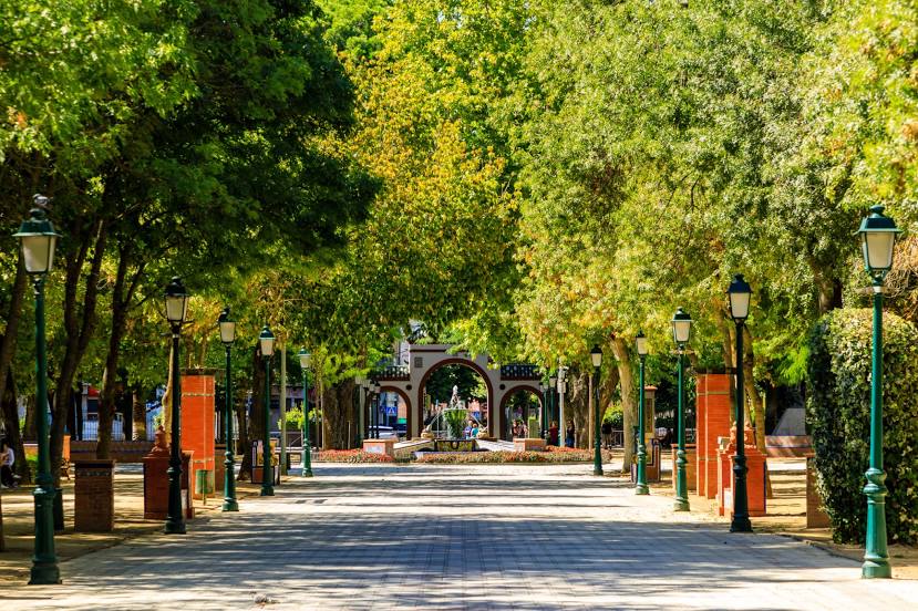
Attractions


Distance to the capital
Distance to the capital (Madrid) is about — 108 km.