
 Algora
Vita
Talavera de la Reina
Usurbil
Serra
Rialp
Arroba
Almansa
Noriega
Zarautz
Castalla
Las Rozas
Estella
Oliva de la Frontera
Alcalá de Guadaira
Mérida
Figueruelas
Villena
Santa Cruz de la Palma
Algora
Vita
Talavera de la Reina
Usurbil
Serra
Rialp
Arroba
Almansa
Noriega
Zarautz
Castalla
Las Rozas
Estella
Oliva de la Frontera
Alcalá de Guadaira
Mérida
Figueruelas
Villena
Santa Cruz de la Palma
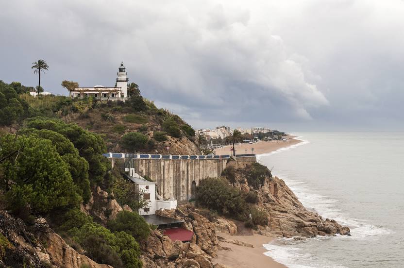
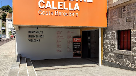
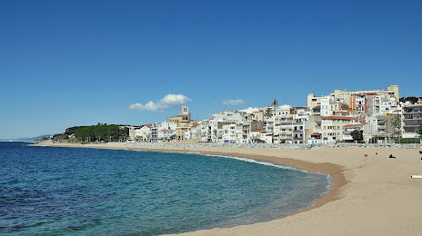
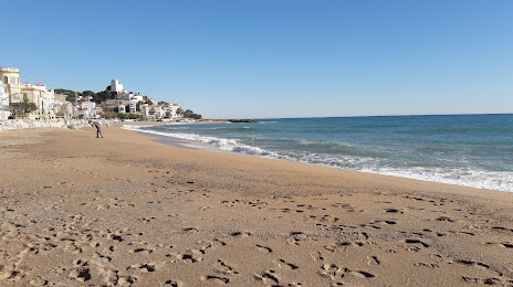
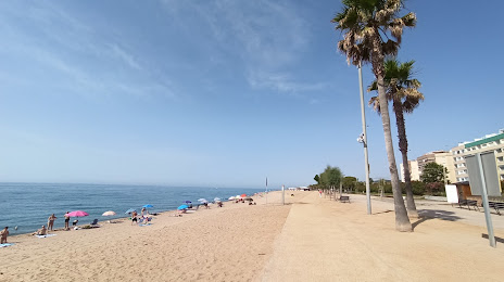
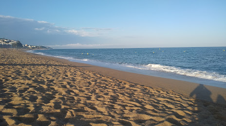
Calella on the map, Spain
Where is located Calella
Exact location — Calella, Barcelona, Catalunya, Spain, marked on the map with a red marker.
Coordinates
Calella, Spain coordinates in decimal format: latitude — 41.6134346, longitude — 2.6535552. When converted to degrees, minutes, seconds Calella has the following coordinates: 41°36′48.36 north latitude and 2°39′12.8 east longitude.
Population
Calella, Barcelona, Catalunya, Spain, according to our data the population is — 14,797 residents, which is about 0% of the total population of the country (Spain).
Comparison of the population on the graph:
Exact time
Time zone for this location Calella — UTC +2 Europe/Madrid. Exact time — saturday, 5 may 2024 year, 22 h. 22 minutes.
Sunrise and sunset
Calella, sunrise and sunset data for a date — saturday 11.05.2024.
| Sunrise | Sunset | Day (duration) |
|---|---|---|
| 06:36 -1 minute | 20:54 +1 minute | 14 h. 18 minutes. +2 minutes |
You can control the scale of the map using the auxiliary tools to find out exactly where it is located Calella. When you change the scale of the map, the width of the ruler also changes (in kilometers and miles).
Nearby cities
The largest cities that are located nearby:
- Mataró — 19 km
- Badalona — 39 km
- Santa Coloma de Gramenet — 41 km
- Sabadell — 46 km
- L'Hospitalet de Llobregat — 52 km
- Terrassa — 54 km
- Perpignan
 (France) — 120 km
 - Tarragona — 129 km
- Lleida — 168 km
- Palma — 226 km
- Toulouse (France) — 241 km
- Montpellier (France) — 242 km
- Nimes (France) — 281 km
- Marseille (France) — 287 km
- Zaragoza — 293 km
- Aix-en-Provence (France) — 308 km
- Toulon (France) — 313 km
- Valencia — 351 km
- Pamplona — 373 km
Distance to neighboring capitals:
- Andorra la Vella
 (Andorra) — 136 km
 - Paris (France) — 806 km
- Paris (France) — 806 km
- Lisbon
 (Portugal) — 1052 km
 - Rabat
 (Morocco) — 1190 km
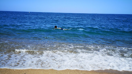
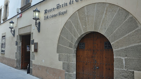
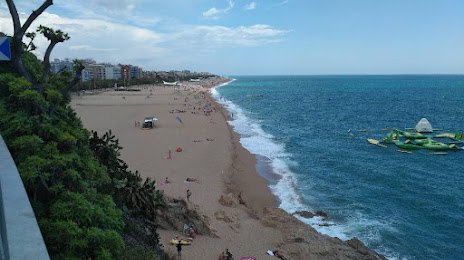
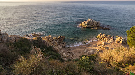
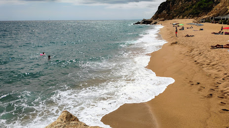
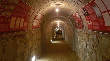
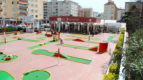
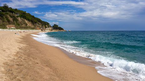
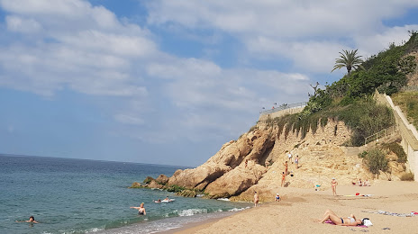
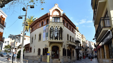
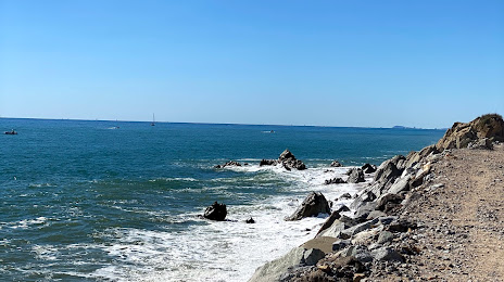
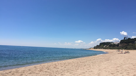
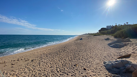
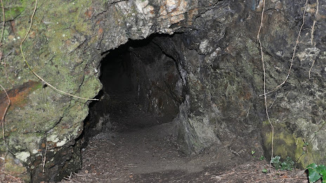
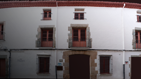
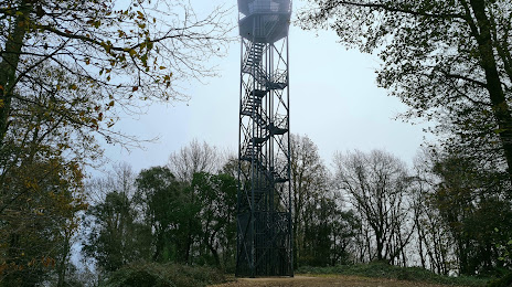
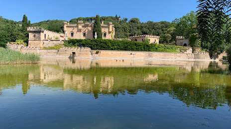
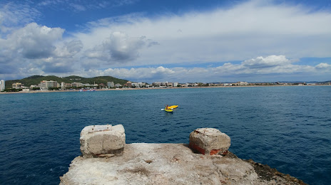
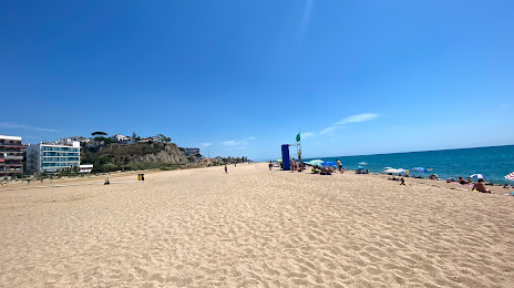
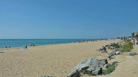
Attractions


Distance to the capital
Distance to the capital (Madrid) is about — 550 km.