
 Roma
Écija
Calella
Bera
Maià de Montcal
Sant Julià de Ramis
Morata de Jalón
Arroyo de San Serván
Santa Coloma de Gramenet
O Pereiro de Aguiar
Cocentaina
La Linea de la Concepción
Hostalric
Fuentes de Andalucía
Hoyos
Salt
Clariana de Cardener
La Orotava
Don Benito
Roma
Écija
Calella
Bera
Maià de Montcal
Sant Julià de Ramis
Morata de Jalón
Arroyo de San Serván
Santa Coloma de Gramenet
O Pereiro de Aguiar
Cocentaina
La Linea de la Concepción
Hostalric
Fuentes de Andalucía
Hoyos
Salt
Clariana de Cardener
La Orotava
Don Benito
Estella on the map, Spain
Where is located Estella
Exact location — Estella, Navarra, Navarra, Spain, marked on the map with a red marker.
Coordinates
Estella, Spain coordinates in decimal format: latitude — 42.6720856, longitude — -2.0324524. When converted to degrees, minutes, seconds Estella has the following coordinates: 42°40′19.51 north latitude and -2°1′56.83 east longitude.
Population
Estella, Navarra, Navarra, Spain, according to our data the population is — 13,467 residents, which is about 0% of the total population of the country (Spain).
Comparison of the population on the graph:
Exact time
Time zone for this location Estella — UTC +2 Europe/Madrid. Exact time — friday, 5 may 2024 year, 06 h. 12 minutes.
Sunrise and sunset
Estella, sunrise and sunset data for a date — friday 10.05.2024.
| Sunrise | Sunset | Day (duration) |
|---|---|---|
| 06:53 -2 minutes | 21:15 +1 minute | 14 h. 24 minutes. +3 minutes |
You can control the scale of the map using the auxiliary tools to find out exactly where it is located Estella. When you change the scale of the map, the width of the ruler also changes (in kilometers and miles).
Nearby cities
The largest cities that are located nearby:
- Pamplona — 35 km
- Logroño — 41 km
- Vitoria-Gasteiz — 57 km
- San Sebastián — 72 km
- Bilbao — 98 km
- Burgos — 141 km
- Zaragoza — 147 km
- Santander — 167 km
- Lleida — 248 km
- Valladolid — 249 km
- Bordeaux
 (France) — 265 km
 - Alcala de Henares — 267 km
- Alcobendas — 272 km
- Torrejón de Ardoz — 273 km
- León — 288 km
- Toulouse (France) — 297 km
- Leganés — 297 km
- Getafe — 298 km
- Alcorcón — 298 km
Distance to neighboring capitals:
- Andorra la Vella
 (Andorra) — 292 km
 - Lisbon
 (Portugal) — 743 km
 - Paris (France) — 767 km
- Paris (France) — 767 km
- Rabat
 (Morocco) — 1055 km
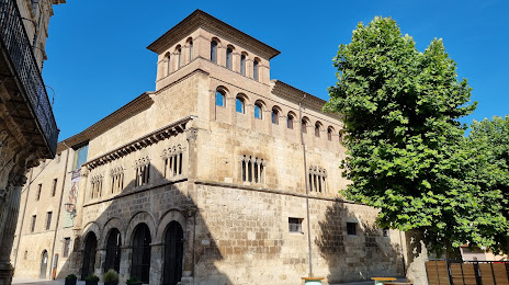
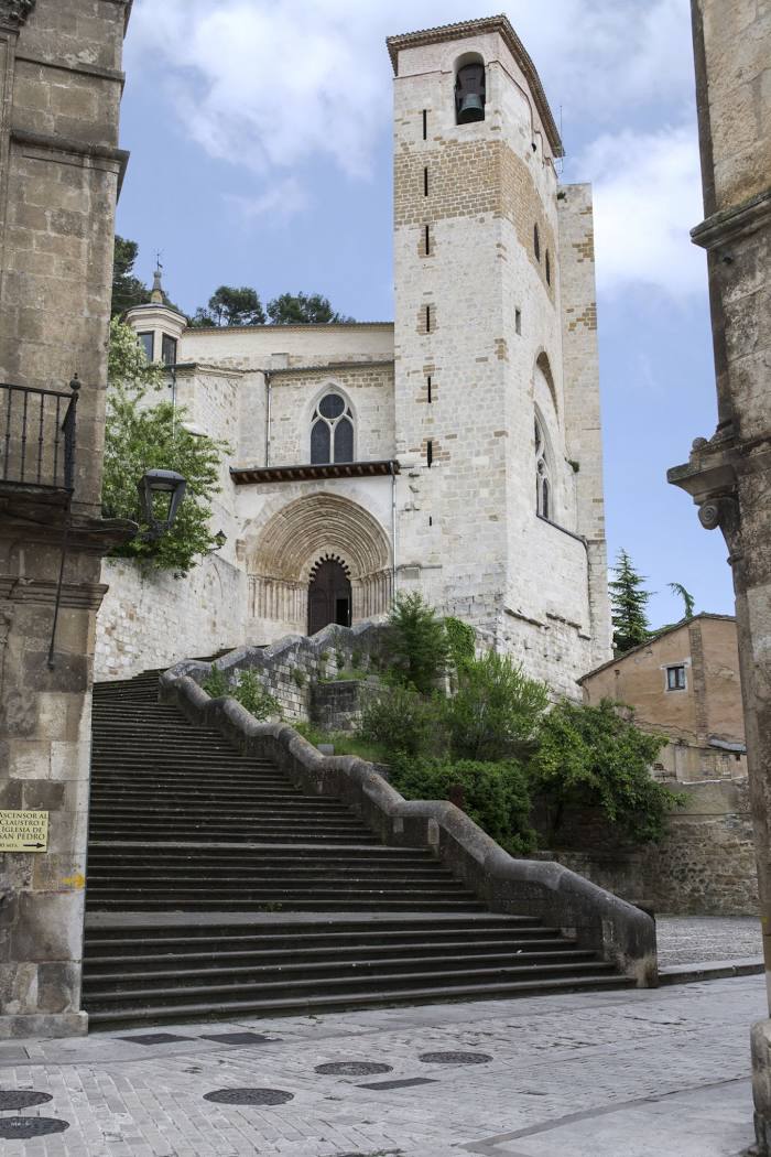
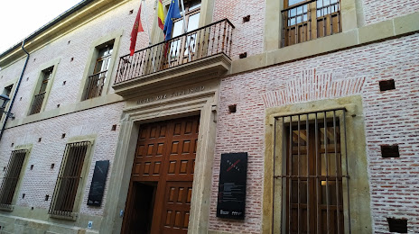
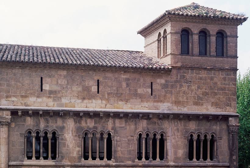
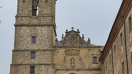
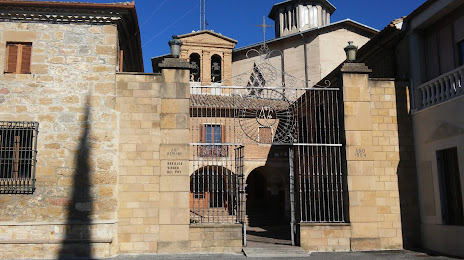
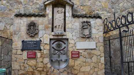
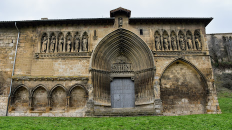
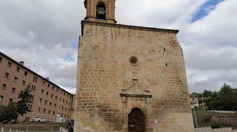
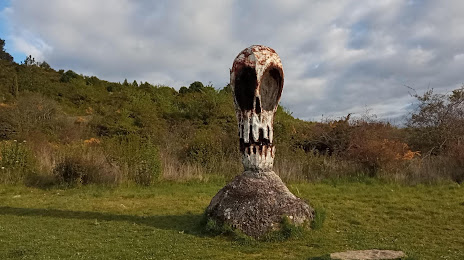
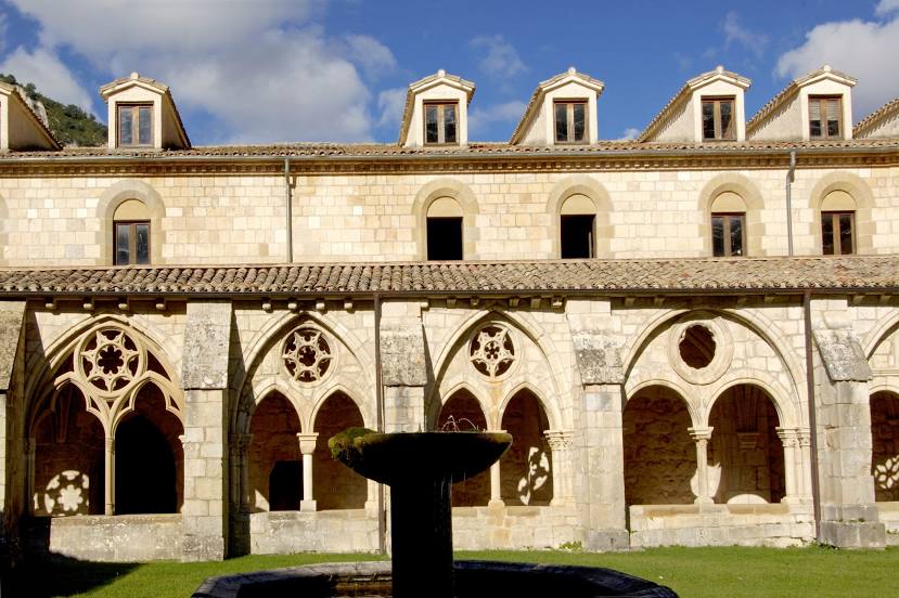
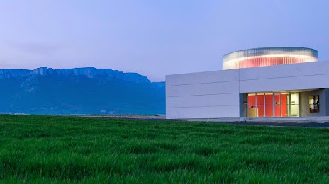
Attractions


Distance to the capital
Distance to the capital (Madrid) is about — 287 km.