
 Ontinyent
Algora
Vita
Talavera de la Reina
Usurbil
Serra
Rialp
Arroba
Almansa
Castalla
Las Rozas
Estella
Oliva de la Frontera
Alcalá de Guadaira
Mérida
Figueruelas
Villena
Santa Cruz de la Palma
Los Molinos
Ontinyent
Algora
Vita
Talavera de la Reina
Usurbil
Serra
Rialp
Arroba
Almansa
Castalla
Las Rozas
Estella
Oliva de la Frontera
Alcalá de Guadaira
Mérida
Figueruelas
Villena
Santa Cruz de la Palma
Los Molinos
Écija on the map, Spain
Where is located Écija
Exact location — Écija, Sevilla, Andalucía, Spain, marked on the map with a red marker.
Coordinates
Écija, Spain coordinates in decimal format: latitude — 37.5414656, longitude — -5.0826742. When converted to degrees, minutes, seconds Écija has the following coordinates: 37°32′29.28 north latitude and -5°4′57.63 east longitude.
Population
Écija, Sevilla, Andalucía, Spain, according to our data the population is — 37,865 residents, which is about 0.1% of the total population of the country (Spain).
Comparison of the population on the graph:
Exact time
Time zone for this location Écija — UTC +2 Europe/Madrid. Exact time — sunday, 5 may 2024 year, 02 h. 37 minutes.
Sunrise and sunset
Écija, sunrise and sunset data for a date — sunday 5.05.2024.
| Sunrise | Sunset | Day (duration) |
|---|---|---|
| 07:23 -1 minute | 21:10 -0 minutes | 13 h. 48 minutes. +1 minute |
You can control the scale of the map using the auxiliary tools to find out exactly where it is located Écija. When you change the scale of the map, the width of the ruler also changes (in kilometers and miles).
Nearby cities
The largest cities that are located nearby:
- Córdoba — 47 km
- Dos Hermanas — 79 km
- Málaga — 108 km
- Marbella — 115 km
- Jaén — 116 km
- Jerez — 132 km
- Granada — 137 km
- Cádiz — 155 km
- Algeciras — 158 km
- Huelva — 167 km
- Tangier
 (Morocco) — 208 km
 - Badajoz — 220 km
- Tetouan (Morocco) — 220 km
- Almería — 245 km
- Albacete — 320 km
- Fuenlabrada — 322 km
- Móstoles — 324 km
- Getafe — 326 km
- Nador (Morocco) — 327 km
Distance to neighboring capitals:
- Lisbon
 (Portugal) — 378 km
 - Rabat (Morocco) — 428 km
- Andorra la Vella
 (Andorra) — 788 km
 - Paris
 (France) — 1394 km
 - Paris (France) — 1394 km
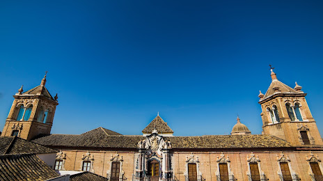
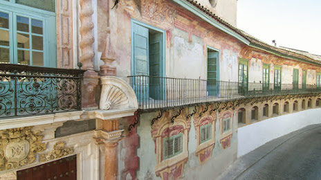
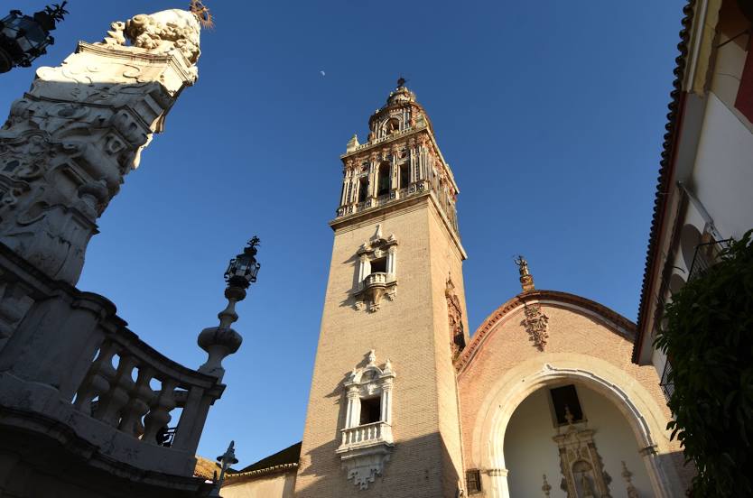
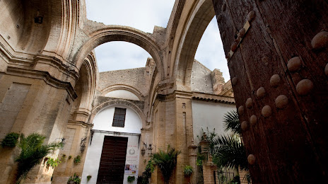
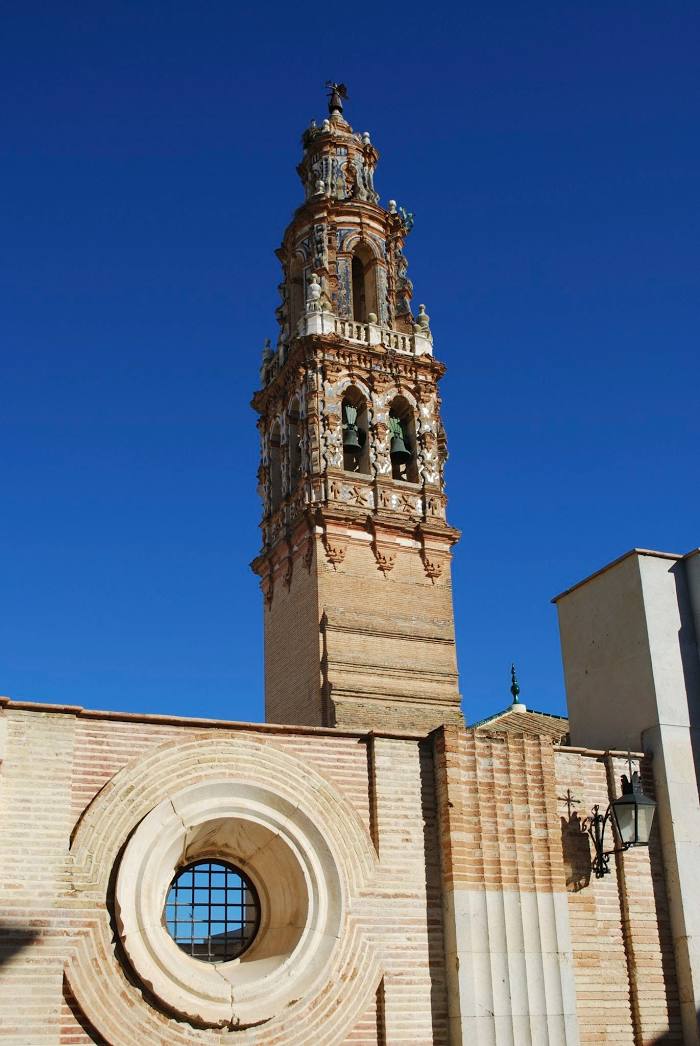
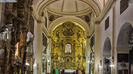
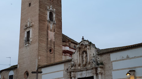
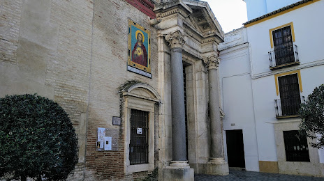
Attractions

Distance to the capital
Distance to the capital (Madrid) is about — 341 km.