
 Ferrol
Rebolledo
Coslada
Roma
Écija
Calella
Bera
Maià de Montcal
Sant Julià de Ramis
Hostalric
Fuentes de Andalucía
Hoyos
Salt
Clariana de Cardener
La Orotava
Don Benito
Ferrero
Berge
Vega de San Mateo
Ferrol
Rebolledo
Coslada
Roma
Écija
Calella
Bera
Maià de Montcal
Sant Julià de Ramis
Hostalric
Fuentes de Andalucía
Hoyos
Salt
Clariana de Cardener
La Orotava
Don Benito
Ferrero
Berge
Vega de San Mateo
Mérida on the map, Spain
Where is located Mérida
Exact location — Mérida, Badajoz, Extremadura, Spain, marked on the map with a red marker.
Coordinates
Mérida, Spain coordinates in decimal format: latitude — 38.9142955, longitude — -6.3491975. When converted to degrees, minutes, seconds Mérida has the following coordinates: 38°54′51.46 north latitude and -6°20′57.11 east longitude.
Population
Mérida, Badajoz, Extremadura, Spain, according to our data the population is — 50,333 residents, which is about 0.1% of the total population of the country (Spain).
Comparison of the population on the graph:
Exact time
Time zone for this location Mérida — UTC +2 Europe/Madrid. Exact time — friday, 5 may 2024 year, 03 h. 41 minute.
Sunrise and sunset
Mérida, sunrise and sunset data for a date — friday 10.05.2024.
| Sunrise | Sunset | Day (duration) |
|---|---|---|
| 07:20 -1 minute | 21:23 +1 minute | 14 h. 6 minutes. +2 minutes |
You can control the scale of the map using the auxiliary tools to find out exactly where it is located Mérida. When you change the scale of the map, the width of the ruler also changes (in kilometers and miles).
Nearby cities
The largest cities that are located nearby:
- Badajoz — 54 km
- Córdoba — 178 km
- Dos Hermanas — 184 km
- Huelva — 190 km
- Coimbra
 (Portugal) — 225 km
 - Salamanca — 234 km
- Lisbon (Portugal) — 242 km
- Jerez — 247 km
- Amadora (Portugal) — 249 km
- Queluz (Portugal) — 251 km
- Jaén — 257 km
- Móstoles — 261 km
- Fuenlabrada — 263 km
- Cádiz — 264 km
- Alcorcón — 265 km
- Leganés — 268 km
- Getafe — 269 km
- Alcobendas — 290 km
- Torrejón de Ardoz — 296 km
Distance to neighboring capitals:
- Lisbon (Portugal) — 243 km
- Rabat
 (Morocco) — 552 km
 - Andorra la Vella
 (Andorra) — 774 km
 - Paris
 (France) — 1306 km
 - Paris (France) — 1306 km
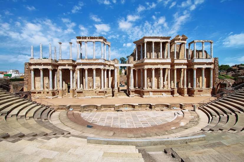
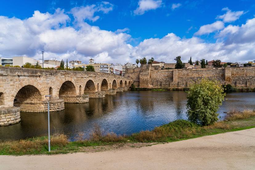
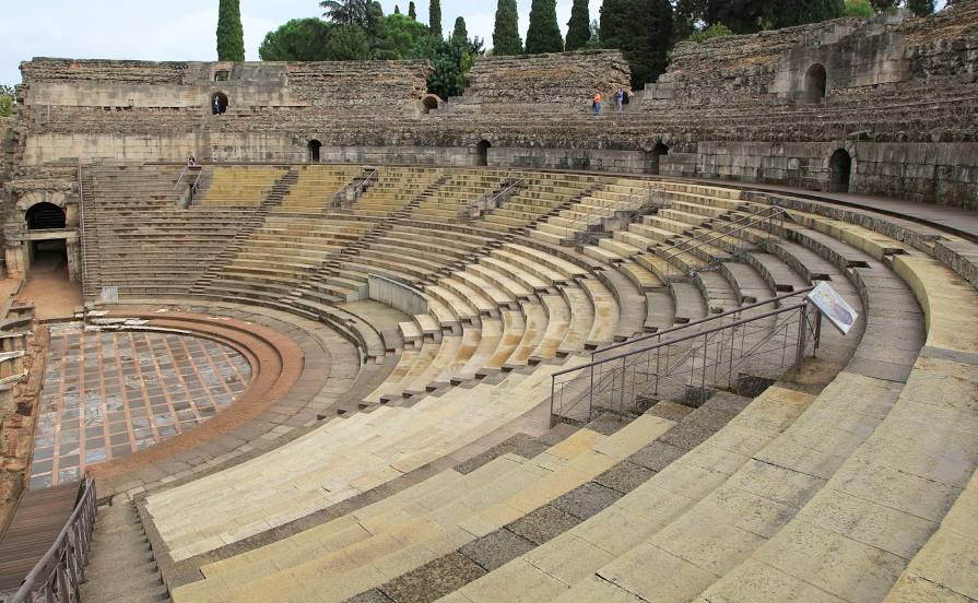
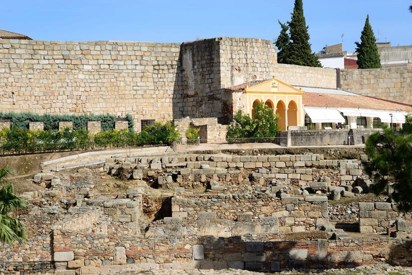
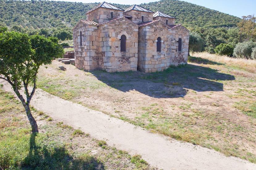
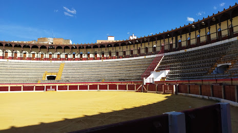
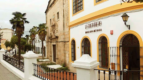
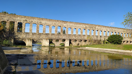
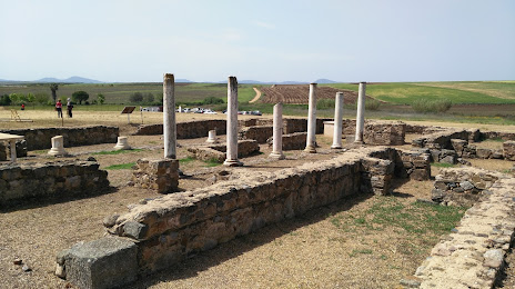
Attractions


Distance to the capital
Distance to the capital (Madrid) is about — 281 km.