
 Rebolledo
Coslada
Roma
Écija
Calella
Bera
Maià de Montcal
Sant Julià de Ramis
Morata de Jalón
La Linea de la Concepción
Hostalric
Fuentes de Andalucía
Hoyos
Salt
Clariana de Cardener
La Orotava
Don Benito
Ferrero
Berge
Rebolledo
Coslada
Roma
Écija
Calella
Bera
Maià de Montcal
Sant Julià de Ramis
Morata de Jalón
La Linea de la Concepción
Hostalric
Fuentes de Andalucía
Hoyos
Salt
Clariana de Cardener
La Orotava
Don Benito
Ferrero
Berge
Alcalá de Guadaira on the map, Spain
Where is located Alcalá de Guadaira
Exact location — Alcalá de Guadaira, Sevilla, Andalucía, Spain, marked on the map with a red marker.
Coordinates
Alcalá de Guadaira, Spain coordinates in decimal format: latitude — 37.3396769, longitude — -5.8418054. When converted to degrees, minutes, seconds Alcalá de Guadaira has the following coordinates: 37°20′22.84 north latitude and -5°50′30.5 east longitude.
Population
Alcalá de Guadaira, Sevilla, Andalucía, Spain, according to our data the population is — 58,934 residents, which is about 0.1% of the total population of the country (Spain).
Comparison of the population on the graph:
Exact time
Time zone for this location Alcalá de Guadaira — UTC +2 Europe/Madrid. Exact time — sunday, 5 may 2024 year, 06 h. 03 minutes.
Sunrise and sunset
Alcalá de Guadaira, sunrise and sunset data for a date — sunday 5.05.2024.
| Sunrise | Sunset | Day (duration) |
|---|---|---|
| 07:26 -1 minute | 21:13 +1 minute | 13 h. 48 minutes. +2 minutes |
You can control the scale of the map using the auxiliary tools to find out exactly where it is located Alcalá de Guadaira. When you change the scale of the map, the width of the ruler also changes (in kilometers and miles).
Nearby cities
The largest cities that are located nearby:
- Dos Hermanas — 9 km
- Jerez — 77 km
- Huelva — 97 km
- Cádiz — 98 km
- Córdoba — 111 km
- Marbella — 125 km
- Algeciras — 137 km
- Málaga — 141 km
- Tangier
 (Morocco) — 175 km
 - Jaén — 186 km
- Badajoz — 196 km
- Granada — 198 km
- Tetouan (Morocco) — 201 km
- Almería — 304 km
- Lisbon
 (Portugal) — 323 km
 - Taounate (Morocco) — 329 km
- Amadora (Portugal) — 331 km
- Queluz (Portugal) — 334 km
- Kenitra (Morocco) — 348 km
Distance to neighboring capitals:
- Lisbon (Portugal) — 327 km
- Rabat (Morocco) — 386 km
- Andorra la Vella
 (Andorra) — 851 km
 - Paris
 (France) — 1442 km
 - Paris (France) — 1442 km
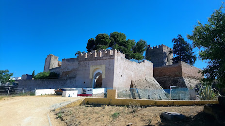
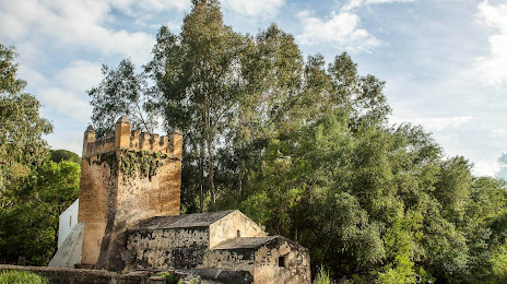
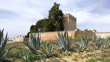
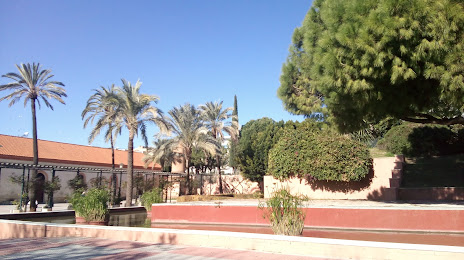
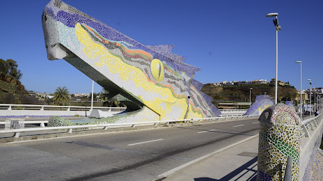
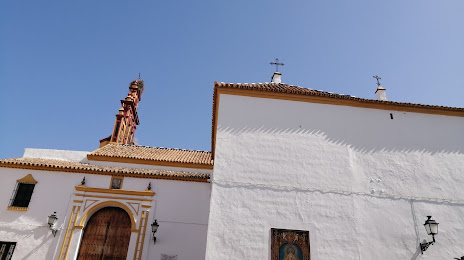
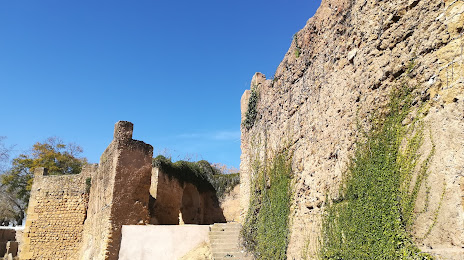
Attractions
Distance to the capital
Distance to the capital (Madrid) is about — 389 km.