
 Cortes de Aragón
Peñalver
Teruel
San Andrés
Villalobos
Vega de San Mateo
Berge
Ferrero
Don Benito
Boada
Calonge
Santa Faz
Borriana
Getafe
Novelda
Paterna
Magaña
Olot
Elx
Cortes de Aragón
Peñalver
Teruel
San Andrés
Villalobos
Vega de San Mateo
Berge
Ferrero
Don Benito
Boada
Calonge
Santa Faz
Borriana
Getafe
Novelda
Paterna
Magaña
Olot
Elx
Camargo on the map, Spain
Where is located Camargo
Exact location — Camargo, Cantabria, Cantabria, Spain, marked on the map with a red marker.
Coordinates
Camargo, Spain coordinates in decimal format: latitude — 43.406667, longitude — -3.883333. When converted to degrees, minutes, seconds Camargo has the following coordinates: 43°24′24 north latitude and -3°52′60 east longitude.
Population
Camargo, Cantabria, Cantabria, Spain, according to our data the population is — 25,107 residents, which is about 0.1% of the total population of the country (Spain).
Comparison of the population on the graph:
Exact time
Time zone for this location Camargo — UTC +2 Europe/Madrid. Exact time — friday, 5 may 2024 year, 20 h. 36 minutes.
Sunrise and sunset
Camargo, sunrise and sunset data for a date — friday 10.05.2024.
| Sunrise | Sunset | Day (duration) |
|---|---|---|
| 06:59 -1 minute | 21:24 +1 minute | 14 h. 24 minutes. +2 minutes |
You can control the scale of the map using the auxiliary tools to find out exactly where it is located Camargo. When you change the scale of the map, the width of the ruler also changes (in kilometers and miles).
Nearby cities
The largest cities that are located nearby:
- Santander — 9 km
- Bilbao — 78 km
- Vitoria-Gasteiz — 115 km
- Burgos — 118 km
- Gijón — 143 km
- San Sebastián — 153 km
- Logroño — 157 km
- Oviedo — 158 km
- León — 164 km
- Pamplona — 193 km
- Valladolid — 206 km
- Bordeaux
 (France) — 304 km
 - Salamanca — 308 km
- Zaragoza — 315 km
- Alcobendas — 318 km
- Alcala de Henares — 326 km
- Torrejón de Ardoz — 328 km
- Alcorcón — 338 km
- Leganés — 340 km
Distance to neighboring capitals:
- Andorra la Vella
 (Andorra) — 451 km
 - Lisbon
 (Portugal) — 682 km
 - Paris (France) — 773 km
- Paris (France) — 773 km
- Rabat
 (Morocco) — 1080 km
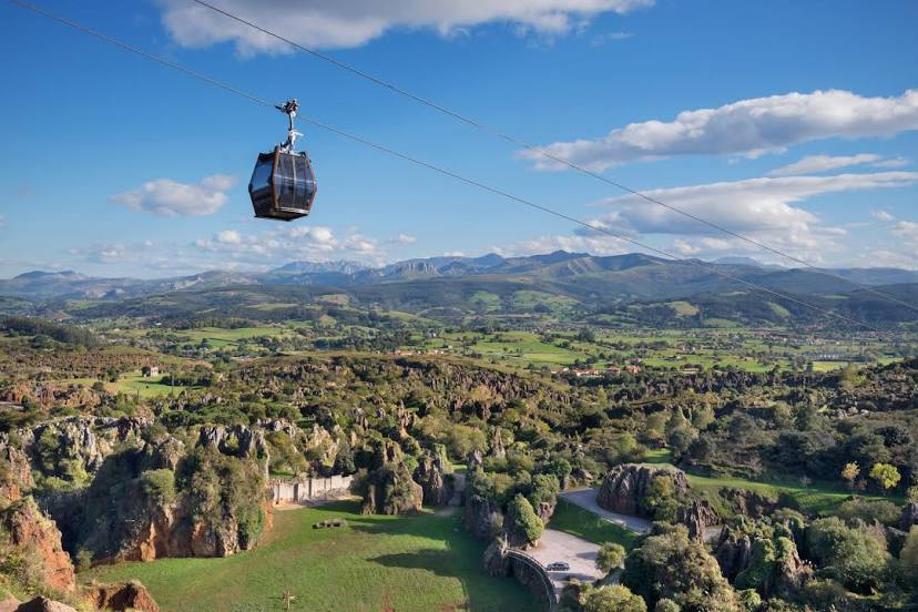
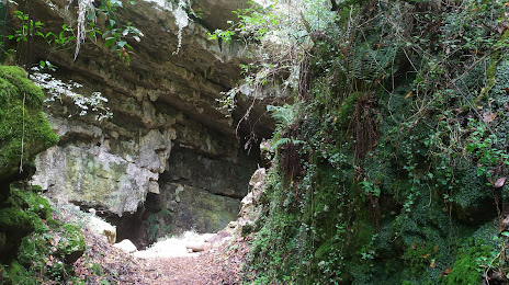
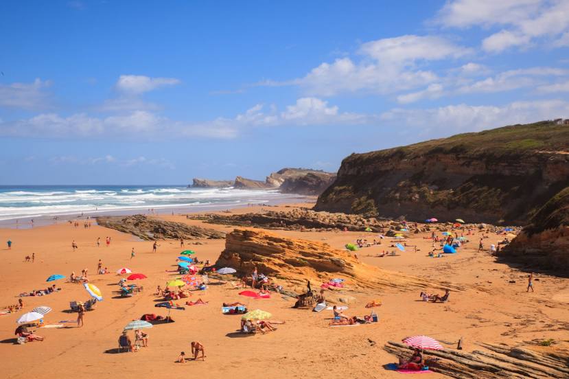
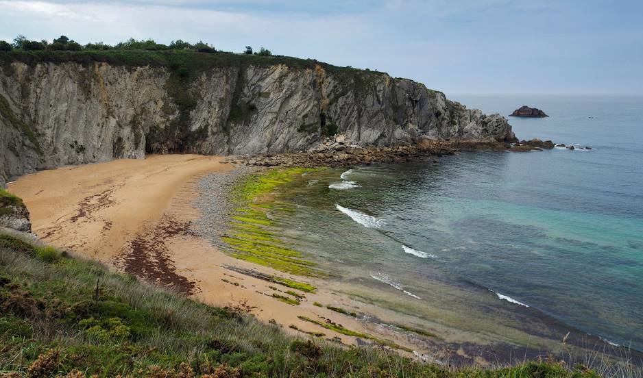
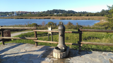
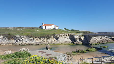
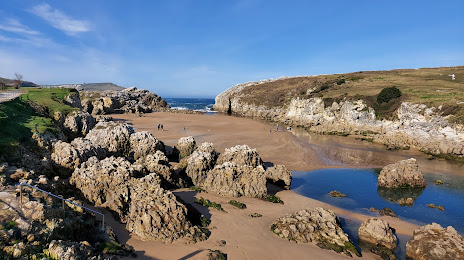
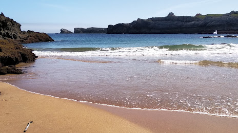
Attractions
Distance to the capital
Distance to the capital (Madrid) is about — 333 km.