
 Alcúdia
Soto del Real
Gama
Monasterio de Rodilla
Albolote
Noguera de Albarracín
Tortosa
Camargo
Cañada del Hoyo
Artà
Castro Urdiales
Torre-Pacheco
Sesa
Cártama
Gavà
Palos de la Frontera
Molíns
Campofrío
Orga
Alcúdia
Soto del Real
Gama
Monasterio de Rodilla
Albolote
Noguera de Albarracín
Tortosa
Camargo
Cañada del Hoyo
Artà
Castro Urdiales
Torre-Pacheco
Sesa
Cártama
Gavà
Palos de la Frontera
Molíns
Campofrío
Orga
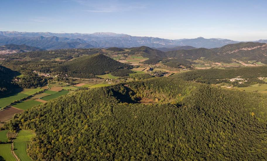
Olot on the map, Spain
Where is located Olot
Exact location — Olot, Girona, Catalunya, Spain, marked on the map with a red marker.
Coordinates
Olot, Spain coordinates in decimal format: latitude — 42.1822078, longitude — 2.4880242. When converted to degrees, minutes, seconds Olot has the following coordinates: 42°10′55.95 north latitude and 2°29′16.89 east longitude.
Population
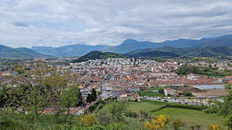
Olot, Girona, Catalunya, Spain, according to our data the population is — 31,901 residents, which is about 0.1% of the total population of the country (Spain).
Comparison of the population on the graph:
Exact time
Time zone for this location Olot — UTC +2 Europe/Madrid. Exact time — wednesday, 5 may 2024 year, 15 h. 27 minutes.
Sunrise and sunset
Olot, sunrise and sunset data for a date — wednesday 8.05.2024.
| Sunrise | Sunset | Day (duration) |
|---|---|---|
| 06:39 -1 minute | 20:53 +1 minute | 14 h. 12 minutes. +2 minutes |
You can control the scale of the map using the auxiliary tools to find out exactly where it is located Olot. When you change the scale of the map, the width of the ruler also changes (in kilometers and miles).
Nearby cities
The largest cities that are located nearby:
- Perpignan
 (France) — 65 km
 - Mataró — 71 km
- Sabadell — 77 km
- Terrassa — 79 km
- Badalona — 84 km
- Santa Coloma de Gramenet — 85 km
- L'Hospitalet de Llobregat — 95 km
- Tarragona — 157 km
- Lleida — 167 km
- Toulouse (France) — 178 km
- Montpellier (France) — 193 km
- Nimes (France) — 236 km
- Marseille (France) — 263 km
- Aix-en-Provence (France) — 280 km
- Zaragoza — 285 km
- Palma — 289 km
- Toulon (France) — 296 km
- Pamplona — 342 km
- Bordeaux (France) — 380 km
Distance to neighboring capitals:
- Andorra la Vella
 (Andorra) — 87 km
 - Paris (France) — 742 km
- Paris (France) — 742 km
- Lisbon
 (Portugal) — 1056 km
 - Rabat
 (Morocco) — 1224 km
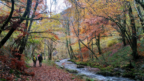
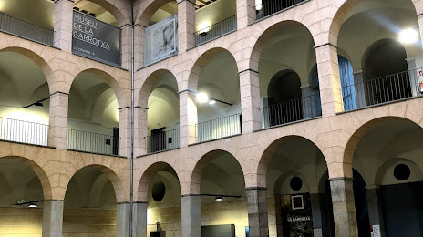
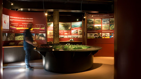
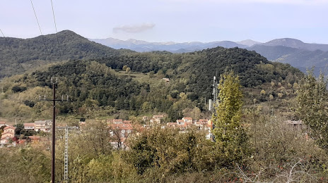
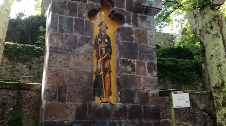
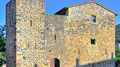
Attractions


Distance to the capital
Distance to the capital (Madrid) is about — 553 km.