
 Tordera
Cristóbal
Yuncos
Cortes de Aragón
Peñalver
Teruel
San Andrés
Villalobos
Vega de San Mateo
Borriana
Getafe
Novelda
Paterna
Magaña
Olot
Elx
Feria
Los Cristianos
Mahon
Tordera
Cristóbal
Yuncos
Cortes de Aragón
Peñalver
Teruel
San Andrés
Villalobos
Vega de San Mateo
Borriana
Getafe
Novelda
Paterna
Magaña
Olot
Elx
Feria
Los Cristianos
Mahon
Albolote on the map, Spain
Where is located Albolote
Exact location — Albolote, Granada, Andalucía, Spain, marked on the map with a red marker.
Coordinates
Albolote, Spain coordinates in decimal format: latitude — 37.2283225, longitude — -3.6543577. When converted to degrees, minutes, seconds Albolote has the following coordinates: 37°13′41.96 north latitude and -3°39′15.69 east longitude.
Population
Albolote, Granada, Andalucía, Spain, according to our data the population is — 14,355 residents, which is about 0% of the total population of the country (Spain).
Comparison of the population on the graph:
Exact time
Time zone for this location Albolote — UTC +2 Europe/Madrid. Exact time — friday, 5 may 2024 year, 23 h. 48 minutes.
Sunrise and sunset
Albolote, sunrise and sunset data for a date — friday 3.05.2024.
| Sunrise | Sunset | Day (duration) |
|---|---|---|
| 07:20 -1 minute | 21:02 -0 minutes | 13 h. 42 minutes. +1 minute |
You can control the scale of the map using the auxiliary tools to find out exactly where it is located Albolote. When you change the scale of the map, the width of the ruler also changes (in kilometers and miles).
Nearby cities
The largest cities that are located nearby:
- Granada — 7 km
- Jaén — 62 km
- Málaga — 88 km
- Almería — 114 km
- Córdoba — 122 km
- Marbella — 135 km
- Dos Hermanas — 200 km
- Algeciras — 201 km
- Jerez — 227 km
- Murcia — 236 km
- Cartagena — 237 km
- Nador
 (Morocco) — 237 km
 - Tetouan (Morocco) — 240 km
- Cádiz — 247 km
- Albacete — 249 km
- Tangier (Morocco) — 254 km
- Huelva — 290 km
- Taounate (Morocco) — 311 km
- Oran
 (Algeria) — 320 km
Distance to neighboring capitals:
- Rabat (Morocco) — 463 km
- Lisbon
 (Portugal) — 509 km
 - Andorra la Vella
 (Andorra) — 734 km
 - Paris
 (France) — 1381 km
 - Paris (France) — 1381 km
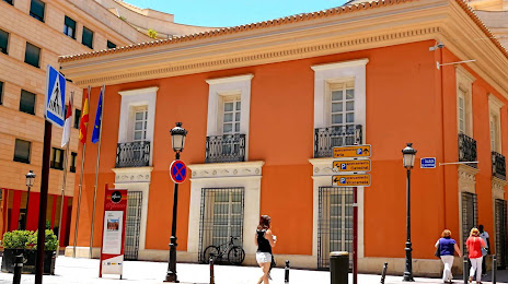
Attractions
Distance to the capital
Distance to the capital (Madrid) is about — 355 km.