
 Gama
Monasterio de Rodilla
Albolote
Noguera de Albarracín
Tortosa
Camargo
Cañada del Hoyo
Oñati
Azuqueca de Henares
Pedro Martínez
Válor
Artà
Castro Urdiales
Torre-Pacheco
Sesa
Cártama
Gavà
Palos de la Frontera
Molíns
Gama
Monasterio de Rodilla
Albolote
Noguera de Albarracín
Tortosa
Camargo
Cañada del Hoyo
Oñati
Azuqueca de Henares
Pedro Martínez
Válor
Artà
Castro Urdiales
Torre-Pacheco
Sesa
Cártama
Gavà
Palos de la Frontera
Molíns
Paterna on the map, Spain
Where is located Paterna
Exact location — Paterna, Valencia, Valencian Community, Spain, marked on the map with a red marker.
Coordinates
Paterna, Spain coordinates in decimal format: latitude — 39.5037093, longitude — -0.4431618. When converted to degrees, minutes, seconds Paterna has the following coordinates: 39°30′13.35 north latitude and -0°26′35.38 east longitude.
Population
Paterna, Valencia, Valencian Community, Spain, according to our data the population is — 50,148 residents, which is about 0.1% of the total population of the country (Spain).
Comparison of the population on the graph:
Exact time
Time zone for this location Paterna — UTC +2 Europe/Madrid. Exact time — thursday, 5 may 2024 year, 01 h. 04 minutes.
Sunrise and sunset
Paterna, sunrise and sunset data for a date — thursday 9.05.2024.
| Sunrise | Sunset | Day (duration) |
|---|---|---|
| 06:56 -1 minute | 21:00 +1 minute | 14 h. 6 minutes. +2 minutes |
You can control the scale of the map using the auxiliary tools to find out exactly where it is located Paterna. When you change the scale of the map, the width of the ruler also changes (in kilometers and miles).
Nearby cities
The largest cities that are located nearby:
- Valencia — 7 km
- Albacete — 134 km
- Murcia — 178 km
- Cartagena — 213 km
- Tarragona — 227 km
- Zaragoza — 240 km
- Lleida — 250 km
- Palma — 264 km
- Alcala de Henares — 268 km
- Torrejón de Ardoz — 276 km
- Getafe — 291 km
- Alcobendas — 292 km
- Leganés — 295 km
- L'Hospitalet de Llobregat — 296 km
- Fuenlabrada — 296 km
- Alcorcón — 300 km
- Móstoles — 303 km
- Terrassa — 305 km
- Santa Coloma de Gramenet — 307 km
Distance to neighboring capitals:
- Andorra la Vella
 (Andorra) — 372 km
 - Lisbon
 (Portugal) — 755 km
 - Rabat
 (Morocco) — 839 km
 - Paris
 (France) — 1064 km
 - Paris (France) — 1064 km
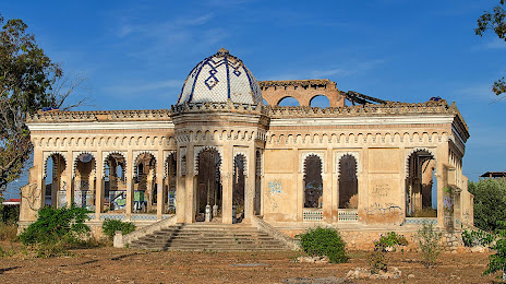
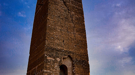
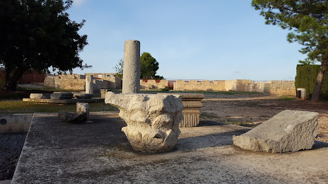
Attractions


Distance to the capital
Distance to the capital (Madrid) is about — 296 km.