Rio Corrientes — Changaimina
Rio Corrientes — San Jacinto
Rio Corrientes — Maria Ines
Rio Corrientes — San José
Rio Corrientes — Canoa
Rio Corrientes — Riobamba
Rio Corrientes — Jose Joaquin de Olmedo International Airport
Rio Corrientes — La Concordia
Rio Corrientes — Zumbagua
Rio Corrientes — La Victoria de Imbana
Rio Corrientes — La Cuca
Rio Corrientes — Salanguillo
Rio Corrientes — Orianga
Rio Corrientes — Parroquia Antonio José Holguín
Rio Corrientes — El Pangui
Rio Corrientes — Banos de San Vicente
Rio Corrientes — San Antonio de Manú
Rio Corrientes — Salati
Rio Corrientes — Machalilla
Macuma
Pomona
Parroquia Tarqui
Puyo
Puyo
Diez de Agosto
Santa Clara
Carlos Julio Arosemena Tola
Puerto Napo
Tena
Provincia de Napo
Tena
Archidona
Archidona
Cotundo
Jondachi
Sarayacu
Cosanga
Baeza
Baeza
Papallacta
Pifo
Pifo
Tumbaco
Lumbisi
Cumbayá
Rio Corrientes — Quito distance, route on the map
Distance by car
Distance between Rio Corrientes, Pastaza, Ecuador and Quito, Pichincha, Ecuador by car is — km, or miles. To travel this distance by car, you need minute, or h.
Route on the map, driving directions
Car route Rio Corrientes — Quito was created automatically. The road on the map is shown as a blue line. By moving the markers, you can create a new route through the points you need.
Passing cities through which the car route passes: Taisha, Macuma, Pomona, Parroquia Tarqui, Puyo, Puyo, Diez de Agosto, Santa Clara, Carlos Julio Arosemena Tola, Puerto Napo, Tena, Provincia de Napo, Tena, Archidona, Archidona, Cotundo, Jondachi, Sarayacu, Cosanga, Baeza, Baeza, Papallacta, Pifo, Pifo, Tumbaco, Lumbisi, Cumbayá.
Distance by plane
If you decide to take a trip Rio Corrientes Quito by plane, then you have to fly the distance — 323 km or 200 miles. It is marked on the map with a gray line (between two points in a straight line).
Flight time
Estimated flight time Rio Corrientes Quito by plane at cruising speed 750 km / h will be — 25 min.
Direction of movement
Ecuador, Rio Corrientes — right-hand traffic. Ecuador, Quito — right-hand traffic.
Difference in time
Rio Corrientes and Quito are in the same time zone. Between them there is no time difference (UTC -5 America/Guayaquil).
Interesting Facts
Information on alternative ways to get to your destination.
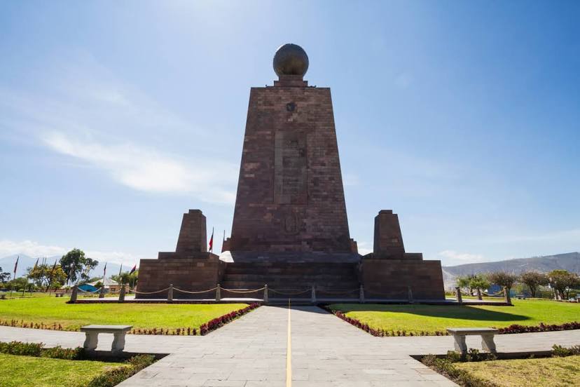
The length of this distance is about 0.8% of the total length of the equator.
The cost of travel
Calculate the cost of the trip yourself using the fuel consumption calculator, changing the data in the table.