Oxapampa
Cerro de Pasco
Ayabaca
Chulucanas District
Sechura District
Macusani
Juli
Huancané
Moho
Puno
Yauca
San Ignacio
Chincha Baja
Santiago
Coppery
Caballococha
Silversmith's
Huata
Huata District
Oxapampa
Cerro de Pasco
Ayabaca
Chulucanas District
Sechura District
Macusani
Juli
Huancané
Moho
Puno
Yauca
San Ignacio
Chincha Baja
Santiago
Coppery
Caballococha
Silversmith's
Huata
Huata District
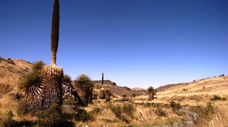
Virú on the map, Peru
Where is located Virú
Exact location — Virú, Provincia de Virú, La Libertad, Peru, marked on the map with a red marker.
Coordinates
Virú, Peru coordinates in decimal format: latitude — -8.4165648, longitude — -78.7518716. When converted to degrees, minutes, seconds Virú has the following coordinates: -8°24′59.63 north latitude and -78°45′6.74 east longitude.
Population
Virú, Provincia de Virú, La Libertad, Peru, according to our data the population is — 20,774 residents, which is about 0.1% of the total population of the country (Peru).
Comparison of the population on the graph:
Exact time
Time zone for this location Virú — UTC -5 America/Lima. Exact time — sunday, 5 may 2024 year, 20 h. 19 minutes.
Sunrise and sunset
Virú, sunrise and sunset data for a date — sunday 19.05.2024.
| Sunrise | Sunset | Day (duration) |
|---|---|---|
| 06:22 -0 minutes | 18:00 -0 minutes | 11 h. 36 minutes. -0 minutes |
You can control the scale of the map using the auxiliary tools to find out exactly where it is located Virú. When you change the scale of the map, the width of the ruler also changes (in kilometers and miles).
Nearby cities
The largest cities that are located nearby:
- Trujillo — 45 km
- Chimbote — 74 km
- Cajamarca — 141 km
- Chiclayo — 217 km
- Huanuco — 320 km
- Piura — 412 km
- Callao — 439 km
- Lima — 442 km
- Sullana — 443 km
- Pucallpa — 456 km
- Loja
 (Ecuador) — 493 km
 - Talara — 507 km
- Santiago (Ecuador) — 515 km
- Huancayo — 556 km
- Tumbes — 568 km
- Cuenca (Ecuador) — 611 km
- Chincha Alta — 621 km
- Milagro (Ecuador) — 701 km
- Guayaquil (Ecuador) — 703 km
Distance to neighboring capitals:
- Quito (Ecuador) — 917 km
- Nuestra Señora de La Paz
 (Bolivia) — 1460 km
 - Bogota
 (Colombia) — 1538 km
 - Caracas
 (Venezuela) — 2479 km
 - Santiago
 (Chile) — 2905 km
 - Asuncion
 (Paraguay) — 2923 km
 - Buenos Aires
 (Argentina) — 3579 km
 - Montevideo
 (Uruguay) — 3738 km