San José de Sisa
Villa de Jumbilla
Pongo
Tilali
Lircay District
El Tambo
Casapalca
San Bartolo District
Los Olivos
Ferreñafe
Virú
Santiago de Chuco Province
Tayabamba District
San Pedro de Lloc
Otuzco
Julcán District
Chepen
Salitral
Matarani
San José de Sisa
Villa de Jumbilla
Pongo
Tilali
Lircay District
El Tambo
Casapalca
San Bartolo District
Los Olivos
Ferreñafe
Virú
Santiago de Chuco Province
Tayabamba District
San Pedro de Lloc
Otuzco
Julcán District
Chepen
Salitral
Matarani
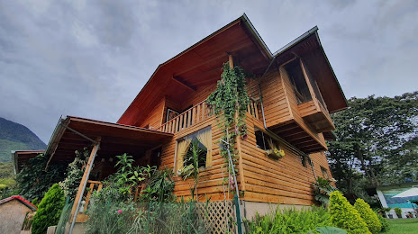
Oxapampa on the map, Peru
Where is located Oxapampa
Exact location — Oxapampa, Oxapampa Province, Pasco, Peru, marked on the map with a red marker.
Coordinates
Oxapampa, Peru coordinates in decimal format: latitude — -10.5852663, longitude — -75.4053367. When converted to degrees, minutes, seconds Oxapampa has the following coordinates: -10°35′6.96 north latitude and -75°24′19.21 east longitude.
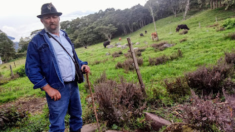
Population
Oxapampa, Oxapampa Province, Pasco, Peru, according to our data the population is — 12,000 residents, which is about 0% of the total population of the country (Peru).
Comparison of the population on the graph:
Exact time
Time zone for this location Oxapampa — UTC -5 America/Lima. Exact time — tuesday, 6 june 2024 year, 16 h. 45 minutes.
Sunrise and sunset
Oxapampa, sunrise and sunset data for a date — tuesday 11.06.2024.
| Sunrise | Sunset | Day (duration) |
|---|---|---|
| 06:18 -0 minutes | 17:44 -0 minutes | 11 h. 24 minutes. -0 minutes |
You can control the scale of the map using the auxiliary tools to find out exactly where it is located Oxapampa. When you change the scale of the map, the width of the ruler also changes (in kilometers and miles).
Nearby cities
The largest cities that are located nearby:
- Huanuco — 117 km
- Huancayo — 165 km
- Lima — 240 km
- Callao — 247 km
- Pucallpa — 259 km
- Ayacucho — 312 km
- Chincha Alta — 324 km
- Chimbote — 386 km
- Ica — 387 km
- Trujillo — 481 km
- Cusco — 493 km
- Cajamarca — 509 km
- Chiclayo — 644 km
- Arequipa — 763 km
- Juliaca — 782 km
- Iquitos — 793 km
- Fist — 816 km
- Piura — 828 km
- White River
 (Brazil) — 828 km
Distance to neighboring capitals:
- Nuestra Señora de La Paz
 (Bolivia) — 1024 km
 - Quito
 (Ecuador) — 1206 km
 - Bogota
 (Colombia) — 1695 km
 - Asuncion
 (Paraguay) — 2489 km
 - Caracas
 (Venezuela) — 2527 km
 - Santiago
 (Chile) — 2588 km
 - Buenos Aires
 (Argentina) — 3181 km
 - Montevideo
 (Uruguay) — 3334 km