Lavras
São Sebastião do Maranhão
Linhares
Maciel
Jaraguá
Barreiro
Barra da Tijuca
Tabatinga
Vitória da Conquista
Guajará
Abunã
Assis
Santa Cruz
Jundiaí
Macaé
Cantá
Shell
Arara
Vila Nova
Lavras
São Sebastião do Maranhão
Linhares
Maciel
Jaraguá
Barreiro
Barra da Tijuca
Tabatinga
Vitória da Conquista
Guajará
Abunã
Assis
Santa Cruz
Jundiaí
Macaé
Cantá
Shell
Arara
Vila Nova
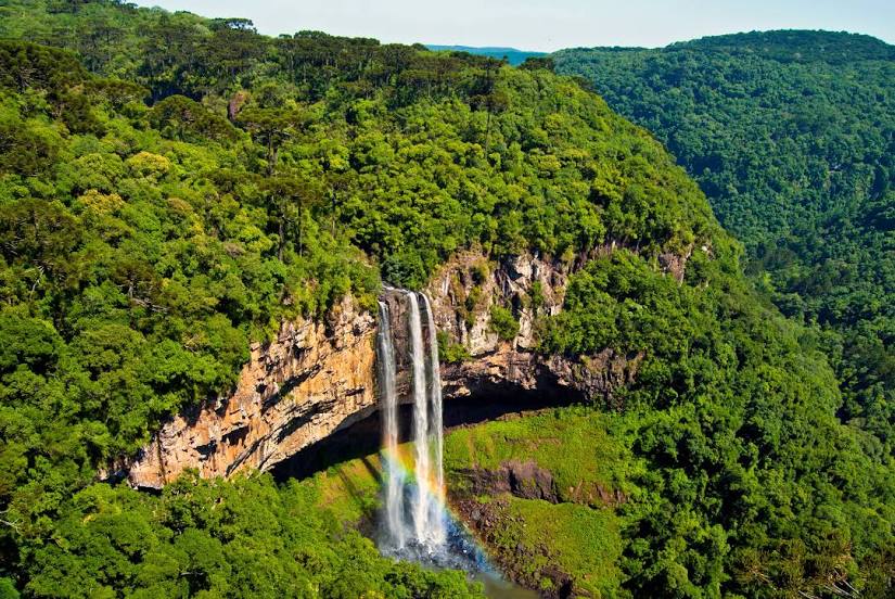
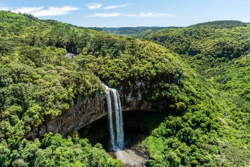
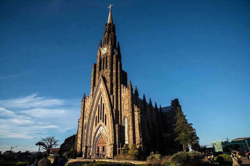
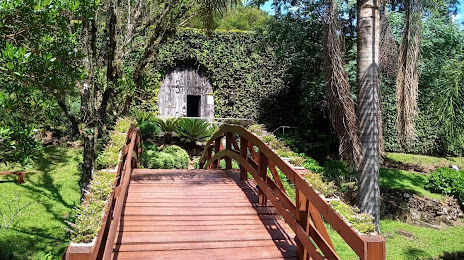
Canela on the map, Brazil
Where is located Canela
Exact location — Canela, Canela, State of Rio Grande do Sul, Brazil, marked on the map with a red marker.
Coordinates
Canela, Brazil coordinates in decimal format: latitude — -29.3564931, longitude — -50.8124263. When converted to degrees, minutes, seconds Canela has the following coordinates: -29°21′23.38 north latitude and -50°48′44.73 east longitude.
Population
Canela, Canela, State of Rio Grande do Sul, Brazil, according to our data the population is — 33,528 residents, which is about 0% of the total population of the country (Brazil).
Comparison of the population on the graph:
Exact time
Time zone for this location Canela — UTC -3 America/Sao_Paulo. Exact time — friday, 5 may 2024 year, 00 h. 32 minutes.
Sunrise and sunset
Canela, sunrise and sunset data for a date — friday 3.05.2024.
| Sunrise | Sunset | Day (duration) |
|---|---|---|
| 06:55 -0 minutes | 17:44 -1 minute | 10 h. 48 minutes. -1 minute |
You can control the scale of the map using the auxiliary tools to find out exactly where it is located Canela. When you change the scale of the map, the width of the ruler also changes (in kilometers and miles).
Nearby cities
The largest cities that are located nearby:
- Caxias do Sul — 41 km
- Novo Hamburgo — 48 km
- São Leopoldo — 55 km
- Gravataí — 67 km
- Cachoeirinha — 71 km
- Canoas — 71 km
- Viamão — 83 km
- Porto Alegre — 84 km
- Guaíba — 97 km
- Criciúma — 159 km
- Santa Cruz do Sul — 161 km
- Lages — 177 km
- Passo Fundo — 197 km
- Palhoça — 282 km
- São José — 287 km
- Santa Maria — 291 km
- Florianópolis — 295 km
- Pelotas — 302 km
- Chapecó — 306 km
Distance to neighboring capitals:
- Montevideo
 (Uruguay) — 796 km
 - Asuncion
 (Paraguay) — 808 km
 - Asuncion (Paraguay) — 812 km
- Buenos Aires
 (Argentina) — 922 km
 - Santiago
 (Chile) — 1934 km
 - Nuestra Señora de La Paz
 (Bolivia) — 2275 km
 - Paramaribo
 (Suriname) — 3944 km
 - Georgetown
 (Guyana) — 4098 km
 - Quito
 (Ecuador) — 4374 km
 - Bogota
 (Colombia) — 4520 km
 - Caracas
 (Venezuela) — 4760 km