
 Bendorf
L'Île-Bouchard
Viffort
Corzé
Monnaie
Seine-et-Marne
Cabariot
Houilles
Bannalec
Lentilly
Châteauneuf-en-Auxois
Waldwisse
Villeneuve-de-Berg
Saint-Laurent-en-Beaumont
Le Bourg-d'Oisans
Saint-Sauveur
Bischoffsheim
Les Ardennes
Weitbruch
Bendorf
L'Île-Bouchard
Viffort
Corzé
Monnaie
Seine-et-Marne
Cabariot
Houilles
Bannalec
Lentilly
Châteauneuf-en-Auxois
Waldwisse
Villeneuve-de-Berg
Saint-Laurent-en-Beaumont
Le Bourg-d'Oisans
Saint-Sauveur
Bischoffsheim
Les Ardennes
Weitbruch
Saint-Saulve on the map, France
Where is located Saint-Saulve
Exact location — Saint-Saulve, Nord, Hauts-de-France, France, marked on the map with a red marker.
Coordinates
Saint-Saulve, France coordinates in decimal format: latitude — 50.370729, longitude — 3.554938. When converted to degrees, minutes, seconds Saint-Saulve has the following coordinates: 50°22′14.62 north latitude and 3°33′17.78 east longitude.
Population
Saint-Saulve, Nord, Hauts-de-France, France, according to our data the population is — 11,303 residents, which is about 0% of the total population of the country (France).
Comparison of the population on the graph:
Exact time
Time zone for this location Saint-Saulve — UTC +2 Europe/Paris. Exact time — wednesday, 5 may 2024 year, 03 h. 56 minutes.
Sunrise and sunset
Saint-Saulve, sunrise and sunset data for a date — wednesday 15.05.2024.
| Sunrise | Sunset | Day (duration) |
|---|---|---|
| 06:01 -2 minutes | 21:22 +1 minute | 15 h. 24 minutes. +3 minutes |
You can control the scale of the map using the auxiliary tools to find out exactly where it is located Saint-Saulve. When you change the scale of the map, the width of the ruler also changes (in kilometers and miles).
Nearby cities
The largest cities that are located nearby:
- Lille — 45 km
- Charleroi
 (Belgium) — 63 km
 - Brussels (Belgium) — 77 km
- Namur (Belgium) — 93 km
- Amiens — 104 km
- Antwerp (Belgium) — 111 km
- Reims — 128 km
- Liège (Belgium) — 145 km
- Breda
 (Netherlands) — 158 km
 - Maastricht (Netherlands) — 158 km
- Tilburg (Netherlands) — 169 km
- Eindhoven (Netherlands) — 177 km
- Dordrecht (Netherlands) — 177 km
- Aachen
 (Germany) — 182 km
 - Rotterdam (Netherlands) — 183 km
- 's-Hertogenbosch (Netherlands) — 189 km
- Boulogne-Billancourt — 194 km
- The Hague (Netherlands) — 195 km
- Zoetermeer (Netherlands) — 197 km
Distance to neighboring capitals:
- Brussels (Belgium) — 78 km
- Amsterdam (Netherlands) — 241 km
- London
 (United Kingdom) — 287 km
 - Bern
 (Switzerland) — 476 km
 - Vaduz
 (Liechtenstein) — 566 km
 - Berlin (Germany) — 723 km
- Prague
 (Czech Republic) — 774 km
 - Copenhagen
 (Denmark) — 842 km
 - Andorra la Vella
 (Andorra) — 888 km
 - Vienna
 (Austria) — 959 km
 - Rome
 (Italy) — 1165 km
 - Warsaw
 (Poland) — 1228 km
 - Madrid
 (Spain) — 1242 km
 - Lisbon
 (Portugal) — 1636 km
 - Nicosia
 — 2932 km
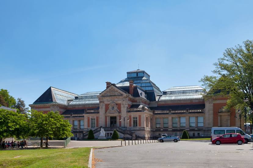
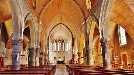
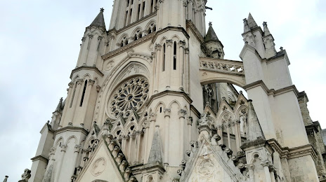
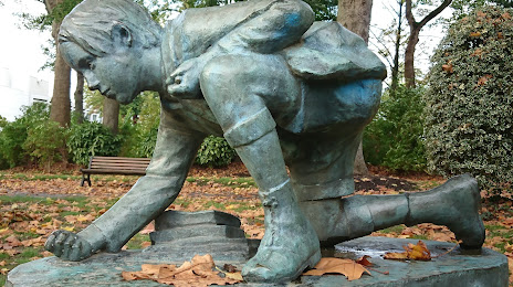
Attractions
Distance to the capital
Distance to the capital (Paris) is about — 189 km.