
 Mijas
Alpedrete
Manresa
Colunga
Móstoles
Cádiz
Zaragoza
Salamanca
Santiago de Compostela
Alcocer
Rubí
Marbella
Valencia
Seville Airport
Barcelona–El Prat Airport
Valladolid
San Salvador de Hornija
Badalona
Sabadell
Mijas
Alpedrete
Manresa
Colunga
Móstoles
Cádiz
Zaragoza
Salamanca
Santiago de Compostela
Alcocer
Rubí
Marbella
Valencia
Seville Airport
Barcelona–El Prat Airport
Valladolid
San Salvador de Hornija
Badalona
Sabadell
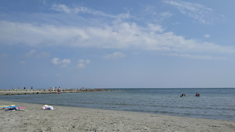
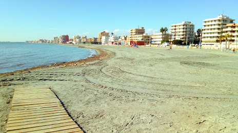
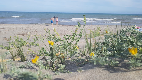
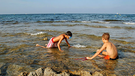
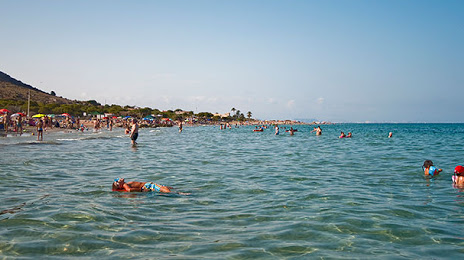
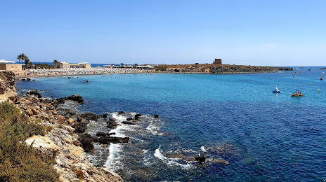
Santa Pola on the map, Spain
Where is located Santa Pola
Exact location — Santa Pola, Alicante, Comunidad Valenciana, Spain, marked on the map with a red marker.
Coordinates
Santa Pola, Spain coordinates in decimal format: latitude — 38.1965614, longitude — -0.5612438. When converted to degrees, minutes, seconds Santa Pola has the following coordinates: 38°11′47.62 north latitude and -0°33′40.48 east longitude.
Population
Santa Pola, Alicante, Comunidad Valenciana, Spain, according to our data the population is — 23,111 residents, which is about 0% of the total population of the country (Spain).
Comparison of the population on the graph:
Exact time
Time zone for this location Santa Pola — UTC +2 Europe/Madrid. Exact time — sunday, 4 april 2024 year, 05 h. 04 minutes.
Sunrise and sunset
Santa Pola, sunrise and sunset data for a date — sunday 28.04.2024.
| Sunrise | Sunset | Day (duration) |
|---|---|---|
| 07:11 -1 minute | 20:47 +1 minute | 13 h. 36 minutes. +2 minutes |
You can control the scale of the map using the auxiliary tools to find out exactly where it is located Santa Pola. When you change the scale of the map, the width of the ruler also changes (in kilometers and miles).
Nearby cities
The largest cities that are located nearby:
- Murcia — 55 km
- Cartagena — 74 km
- Valencia — 142 km
- Albacete — 142 km
- Almería — 226 km
- Oran
 (Algeria) — 276 km
 - Chlef (Algeria) — 281 km
- Jaén — 285 km
- Relizane (Algeria) — 290 km
- Granada — 290 km
- Palma — 313 km
- Sidi Bel Abbes (Algeria) — 331 km
- Alcala de Henares — 346 km
- Torrejón de Ardoz — 350 km
- Getafe — 355 km
- Tarragona — 356 km
- Algiers (Algeria) — 357 km
- Fuenlabrada — 358 km
- Leganés — 359 km
Distance to neighboring capitals:
- Andorra la Vella
 (Andorra) — 511 km
 - Rabat
 (Morocco) — 735 km
 - Lisbon
 (Portugal) — 749 km
 - Paris
 (France) — 1208 km
 - Paris (France) — 1208 km
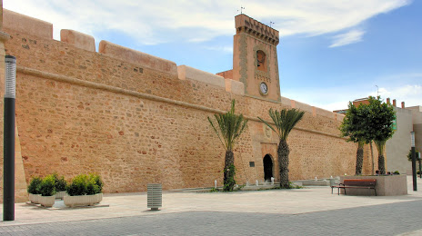
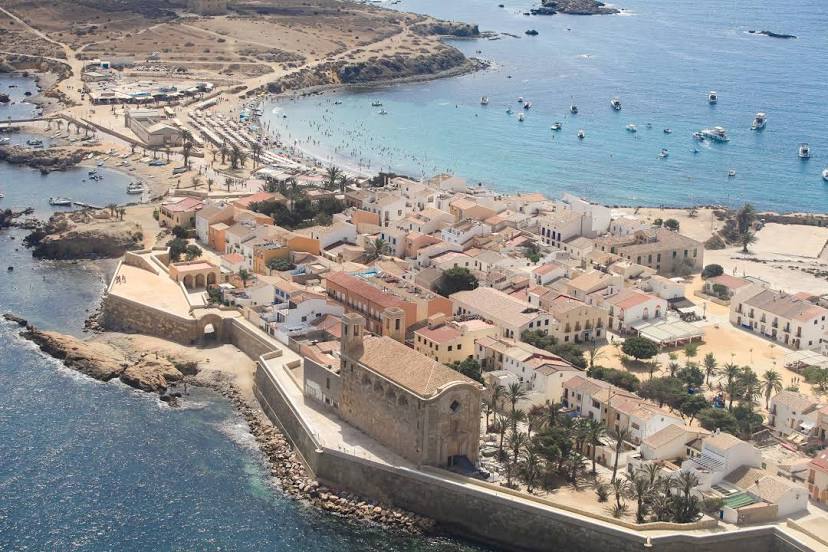
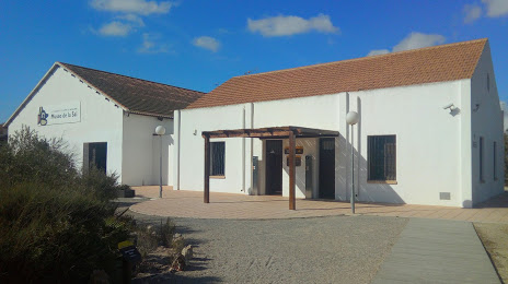
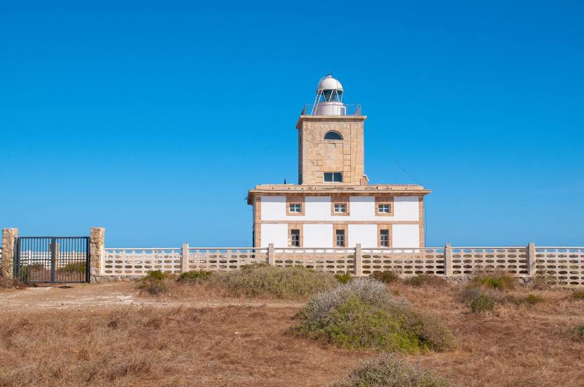
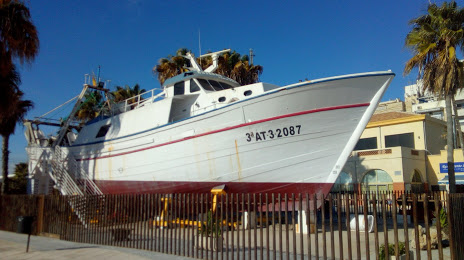
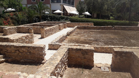
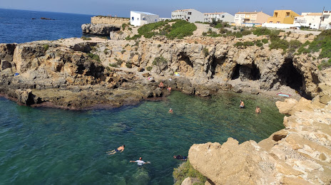
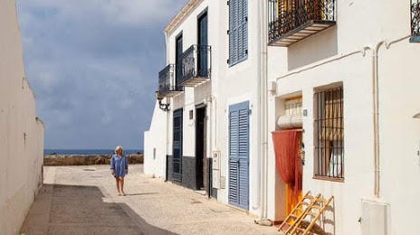
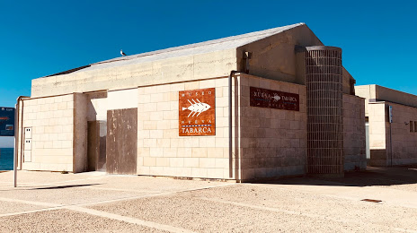
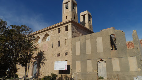
Attractions


Distance to the capital
Distance to the capital (Madrid) is about — 366 km.