
 Burgos
León
Reus
Alicante Airport
Palencia
Peralta
Zamudio
Elexalde Derio
San Pedro del Pinatar
Las Palmas de Gran Canaria
Xàbia
Valls
A Coruña
Mariana
Santa Pola
Santa Cruz de Tenerife
San Agustín
Málaga
Tarragona
Burgos
León
Reus
Alicante Airport
Palencia
Peralta
Zamudio
Elexalde Derio
San Pedro del Pinatar
Las Palmas de Gran Canaria
Xàbia
Valls
A Coruña
Mariana
Santa Pola
Santa Cruz de Tenerife
San Agustín
Málaga
Tarragona
Móstoles on the map, Spain
Where is located Móstoles
Exact location — Móstoles, Madrid, Comunidad de Madrid, Spain, marked on the map with a red marker.
Coordinates
Móstoles, Spain coordinates in decimal format: latitude — 40.3232129, longitude — -3.8676291. When converted to degrees, minutes, seconds Móstoles has the following coordinates: 40°19′23.57 north latitude and -3°52′3.46 east longitude.
Population
Móstoles, Madrid, Comunidad de Madrid, Spain, according to our data the population is — 212,504 residents, which is about 0.5% of the total population of the country (Spain).
Comparison of the population on the graph:
Exact time
Time zone for this location Móstoles — UTC +2 Europe/Madrid. Exact time — friday, 4 april 2024 year, 15 h. 10 minutes.
Sunrise and sunset
Móstoles, sunrise and sunset data for a date — friday 26.04.2024.
| Sunrise | Sunset | Day (duration) |
|---|---|---|
| 07:23 -2 minutes | 21:02 +1 minute | 13 h. 42 minutes. +3 minutes |
You can control the scale of the map using the auxiliary tools to find out exactly where it is located Móstoles. When you change the scale of the map, the width of the ruler also changes (in kilometers and miles).
Nearby cities
The largest cities that are located nearby:
- Alcorcón — 4 km
- Fuenlabrada — 7 km
- Leganés — 8 km
- Getafe — 12 km
- Alcobendas — 31 km
- Torrejón de Ardoz — 36 km
- Alcala de Henares — 46 km
- Valladolid — 163 km
- Salamanca — 166 km
- Burgos — 224 km
- Albacete — 227 km
- Logroño — 263 km
- Córdoba — 281 km
- Jaén — 281 km
- Zaragoza — 286 km
- León — 287 km
- Vitoria-Gasteiz — 296 km
- Badajoz — 311 km
- Valencia — 313 km
Distance to neighboring capitals:
- Lisbon
 (Portugal) — 486 km
 - Andorra la Vella
 (Andorra) — 511 km
 - Rabat
 (Morocco) — 754 km
 - Paris
 (France) — 1069 km
 - Paris (France) — 1069 km
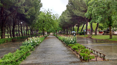
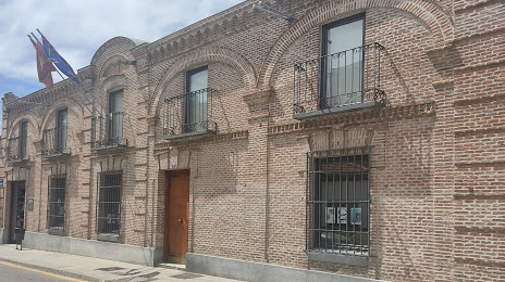
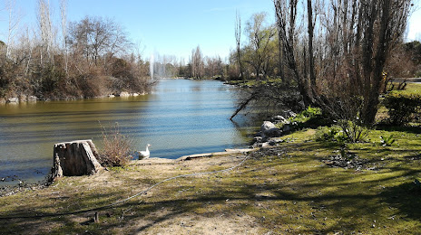
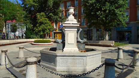
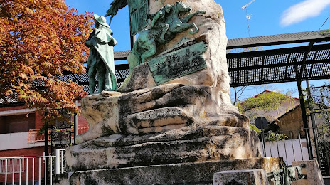
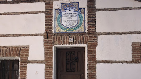
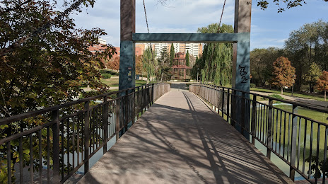
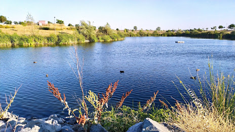
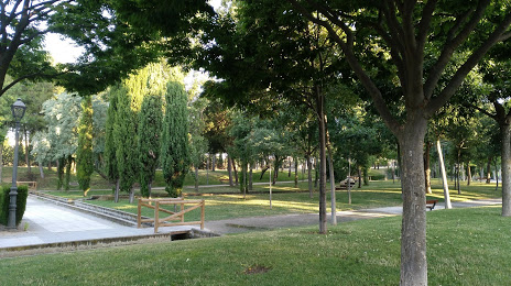
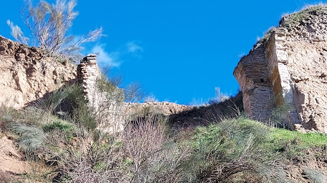
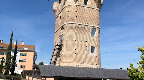
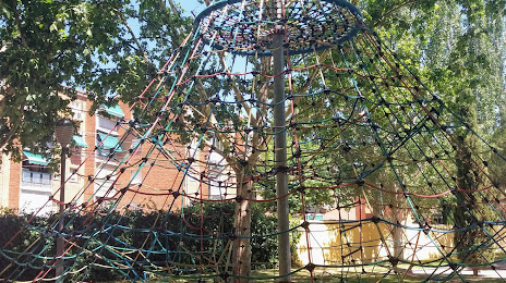
Attractions


Distance to the capital
Distance to the capital (Madrid) is about — 17 km.