
 Arrasate
L'Hospitalet de Llobregat
Murcia
Urnieta
La Estrella
Amurrio
Pamplona
Hornos
Elcano
Arinaga
Santiago de Compostela
Salamanca
Zaragoza
Cádiz
Móstoles
Colunga
Manresa
Alpedrete
Mijas
Arrasate
L'Hospitalet de Llobregat
Murcia
Urnieta
La Estrella
Amurrio
Pamplona
Hornos
Elcano
Arinaga
Santiago de Compostela
Salamanca
Zaragoza
Cádiz
Móstoles
Colunga
Manresa
Alpedrete
Mijas
Palencia on the map, Spain
Where is located Palencia
Exact location — Palencia, Palencia, Castilla y León, Spain, marked on the map with a red marker.
Coordinates
Palencia, Spain coordinates in decimal format: latitude — 42.0096857, longitude — -4.5288016. When converted to degrees, minutes, seconds Palencia has the following coordinates: 42°0′34.87 north latitude and -4°31′43.69 east longitude.
Population
Palencia, Palencia, Castilla y León, Spain, according to our data the population is — 77,438 residents, which is about 0.2% of the total population of the country (Spain).
Comparison of the population on the graph:
Exact time
Time zone for this location Palencia — UTC +2 Europe/Madrid. Exact time — sunday, 4 april 2024 year, 11 h. 25 minutes.
Sunrise and sunset
Palencia, sunrise and sunset data for a date — sunday 28.04.2024.
| Sunrise | Sunset | Day (duration) |
|---|---|---|
| 07:20 -1 minute | 21:10 +1 minute | 13 h. 48 minutes. +2 minutes |
You can control the scale of the map using the auxiliary tools to find out exactly where it is located Palencia. When you change the scale of the map, the width of the ruler also changes (in kilometers and miles).
Nearby cities
The largest cities that are located nearby:
- Valladolid — 43 km
- Burgos — 77 km
- León — 107 km
- Salamanca — 149 km
- Santander — 171 km
- Vitoria-Gasteiz — 177 km
- Logroño — 177 km
- Alcobendas — 179 km
- Oviedo — 183 km
- Bilbao — 189 km
- Gijón — 191 km
- Alcorcón — 193 km
- Torrejón de Ardoz — 193 km
- Móstoles — 195 km
- Alcala de Henares — 195 km
- Leganés — 196 km
- Fuenlabrada — 200 km
- Getafe — 200 km
- Pamplona — 250 km
Distance to neighboring capitals:
- Andorra la Vella
 (Andorra) — 501 km
 - Lisbon
 (Portugal) — 535 km
 - Rabat
 (Morocco) — 917 km
 - Paris
 (France) — 931 km
 - Paris (France) — 931 km
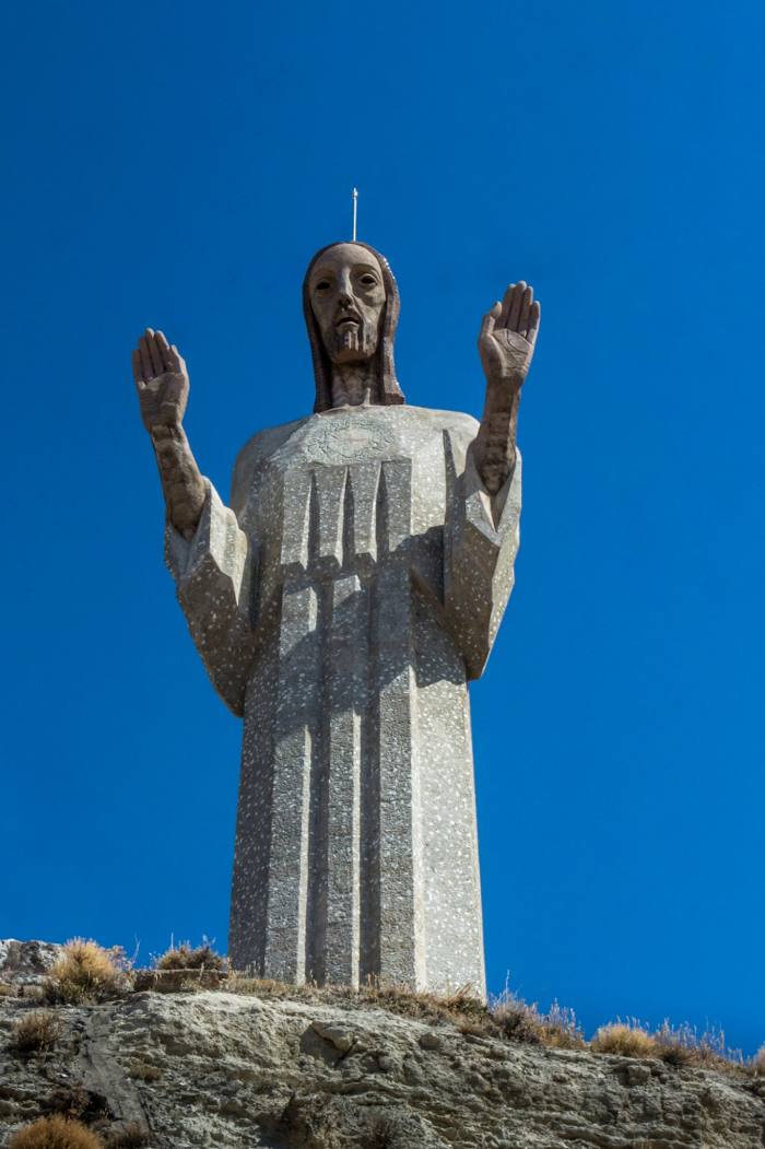
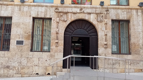
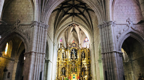
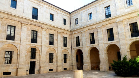
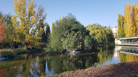
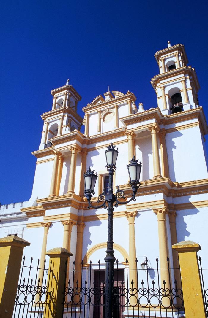
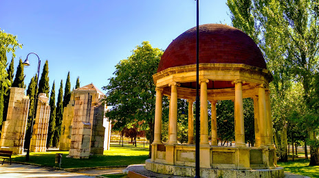
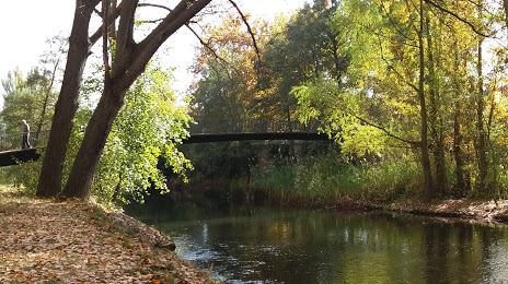
Attractions


Distance to the capital
Distance to the capital (Madrid) is about — 190 km.