
 Montoir-de-Bretagne
Cézac
Commes
Bertincourt
Le Mesnil-Saint-Denis
Saint-Uniac
Ailly-sur-Somme
Houssay
Normandy
Villeneuve
Noisy-le-Sec
Pau
Boutx
Baule
Esse
Deux-Sevres
Santec
Anisy
Civray
Montoir-de-Bretagne
Cézac
Commes
Bertincourt
Le Mesnil-Saint-Denis
Saint-Uniac
Ailly-sur-Somme
Houssay
Normandy
Villeneuve
Noisy-le-Sec
Pau
Boutx
Baule
Esse
Deux-Sevres
Santec
Anisy
Civray
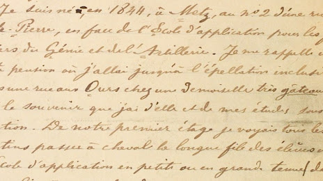
Montigny-lès-Metz on the map, France
Where is located Montigny-lès-Metz
Exact location — Montigny-lès-Metz, Moselle, Grand Est, France, marked on the map with a red marker.
Coordinates
Montigny-lès-Metz, France coordinates in decimal format: latitude — 49.099068, longitude — 6.147807. When converted to degrees, minutes, seconds Montigny-lès-Metz has the following coordinates: 49°5′56.64 north latitude and 6°8′52.11 east longitude.
Population
Montigny-lès-Metz, Moselle, Grand Est, France, according to our data the population is — 26,369 residents, which is about 0% of the total population of the country (France).
Comparison of the population on the graph:
Exact time
Time zone for this location Montigny-lès-Metz — UTC +2 Europe/Paris. Exact time — thursday, 5 may 2024 year, 14 h. 02 minutes.
Sunrise and sunset
Montigny-lès-Metz, sunrise and sunset data for a date — thursday 9.05.2024.
| Sunrise | Sunset | Day (duration) |
|---|---|---|
| 06:04 -1 minute | 20:59 +2 minutes | 14 h. 54 minutes. +3 minutes |
You can control the scale of the map using the auxiliary tools to find out exactly where it is located Montigny-lès-Metz. When you change the scale of the map, the width of the ruler also changes (in kilometers and miles).
Nearby cities
The largest cities that are located nearby:
- Metz — 3 km
- Nancy — 45 km
- Saarbrücken
 (Germany) — 63 km
 - Trier (Germany) — 80 km
- Strasbourg — 131 km
- Reims — 154 km
- Karlsruhe (Germany) — 164 km
- Ludwigshafen (Germany) — 170 km
- Mannheim (Germany) — 172 km
- Koblenz (Germany) — 172 km
- Mulhouse — 173 km
- Liège
 (Belgium) — 174 km
 - Freiburg (Germany) — 175 km
- Namur (Belgium) — 176 km
- Mainz (Germany) — 179 km
- Wiesbaden (Germany) — 184 km
- Heidelberg (Germany) — 185 km
- Aachen (Germany) — 185 km
- Pforzheim (Germany) — 187 km
Distance to neighboring capitals:
- Brussels (Belgium) — 233 km
- Bern
 (Switzerland) — 258 km
 - Vaduz
 (Liechtenstein) — 332 km
 - Amsterdam
 (Netherlands) — 374 km
 - London
 (United Kingdom) — 520 km
 - Prague
 (Czech Republic) — 607 km
 - Berlin (Germany) — 636 km
- Vienna
 (Austria) — 757 km
 - Andorra la Vella
 (Andorra) — 816 km
 - Copenhagen
 (Denmark) — 851 km
 - Rome
 (Italy) — 940 km
 - Warsaw
 (Poland) — 1102 km
 - Madrid
 (Spain) — 1238 km
 - Lisbon
 (Portugal) — 1677 km
 - Nicosia
 — 2704 km
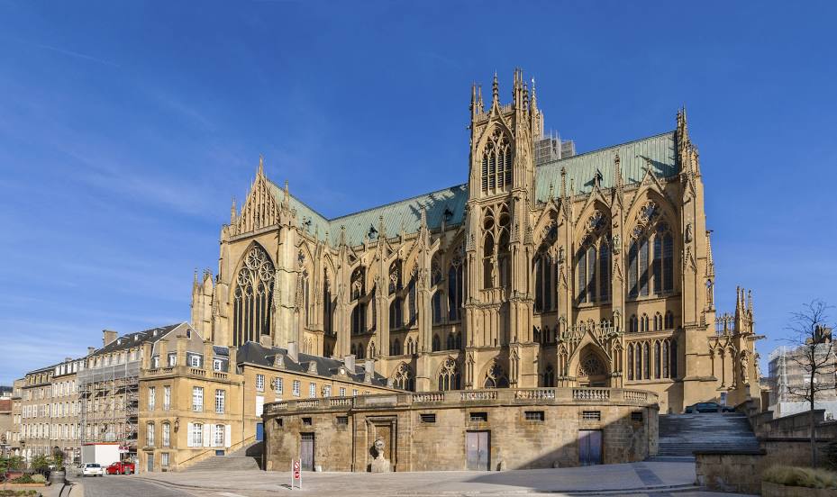
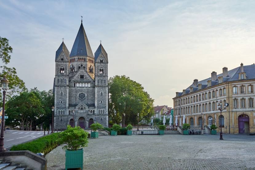
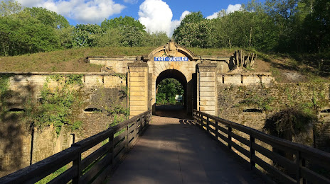
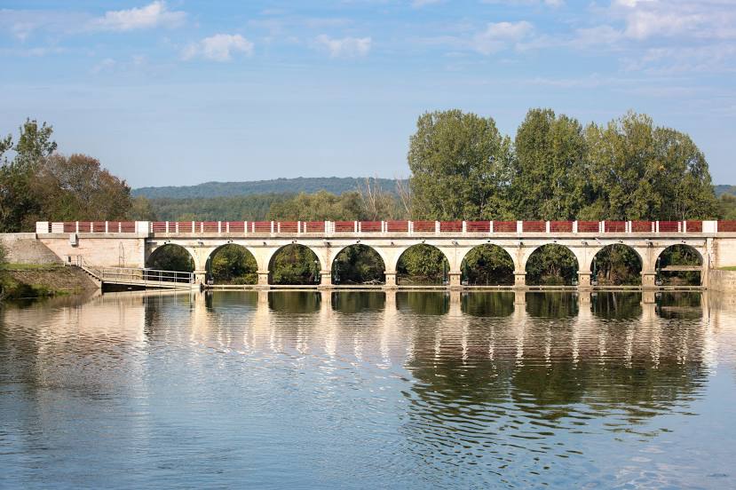
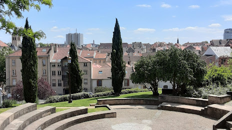
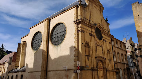
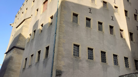
Attractions


Distance to the capital
Distance to the capital (Paris) is about — 278 km.