 Monterrey
Chicaná
Matamoros
Palo Alto
Zaragoza
Temascalcingo
Tultepec
Florida del Norte
San Pedro Garza García
Heroica Ciudad de Huajuapan de Leon
Angostura
Armería Municipality
Doñana
Ceballos
San Juan Teotihuacan de Arista
Motzorongo
Ciudad Mendoza
Santa Bárbara
Seyé
Monterrey
Chicaná
Matamoros
Palo Alto
Zaragoza
Temascalcingo
Tultepec
Florida del Norte
San Pedro Garza García
Heroica Ciudad de Huajuapan de Leon
Angostura
Armería Municipality
Doñana
Ceballos
San Juan Teotihuacan de Arista
Motzorongo
Ciudad Mendoza
Santa Bárbara
Seyé
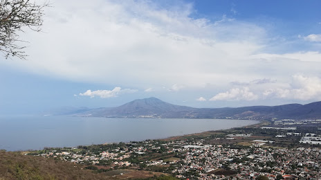
Ajijic on the map, Mexico
Where is located Ajijic
Exact location — Ajijic, Jalisco, Mexico, marked on the map with a red marker.
Coordinates
Ajijic, Mexico coordinates in decimal format: latitude — 20.2995464, longitude — -103.2634411. When converted to degrees, minutes, seconds Ajijic has the following coordinates: 20°17′58.37 north latitude and -103°15′48.39 east longitude.
Population
Ajijic, Jalisco, Mexico, according to our data the population is — 13,714 residents, which is about 0% of the total population of the country (Mexico).
Comparison of the population on the graph:
Exact time
Time zone for this location Ajijic — UTC -6 America/Mexico_City. Exact time — saturday, 4 april 2024 year, 11 h. 13 minutes.
Sunrise and sunset
Ajijic, sunrise and sunset data for a date — saturday 27.04.2024.
| Sunrise | Sunset | Day (duration) |
|---|---|---|
| 06:27 -1 minute | 19:13 +1 minute | 12 h. 48 minutes. +2 minutes |
You can control the scale of the map using the auxiliary tools to find out exactly where it is located Ajijic. When you change the scale of the map, the width of the ruler also changes (in kilometers and miles).
Nearby cities
The largest cities that are located nearby:
- Tonalá — 36 km
- Tlaquepaque — 38 km
- Guadalajara — 41 km
- Zapopan — 44 km
- Zamora — 107 km
- Colima — 126 km
- Uruapan — 161 km
- Manzanillo — 173 km
- León — 187 km
- Aguascalientes — 202 km
- Irapuato — 202 km
- Puerto Vallarta — 207 km
- Tepic — 214 km
- Salamanca — 216 km
- Morelia — 225 km
- Celaya — 255 km
- Zacatecas — 282 km
- Santiago de Querétaro — 299 km
- San Luis Potosi — 311 km
Distance to neighboring capitals:
- Guatemala City
 (Guatemala) — 1490 km
 - Belmopan
 (Belize) — 1563 km
 - Tegucigalpa
 (Honduras) — 1838 km
 - Washington
 (United States) — 3252 km
 - Ottawa
 (Canada) — 3763 km
 - Saint John
 (Puerto Rico) — 3896 km
 - Belgrade
 (Serbia) — 10809 km
 - Podgorica
 (Montenegro) — 10893 km
 - Hagåtña
 (Guam) — 11691 km
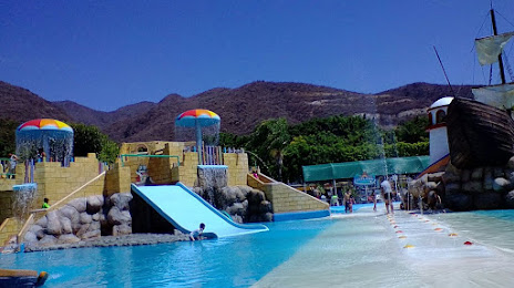
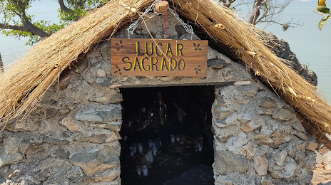
Attractions
Distance to the capital
Distance to the capital (Mexico City) is about — 443 km.