Strzelce Krajeńskie — Ruja
Strzelce Krajeńskie — Jemiołowo
Strzelce Krajeńskie — Wlen
Strzelce Krajeńskie — Biskupia Wola
Strzelce Krajeńskie — Lubień
Strzelce Krajeńskie — Rudziniec
Strzelce Krajeńskie — Stanowisko
Strzelce Krajeńskie — Libiąż
Strzelce Krajeńskie — Siedlisko
Strzelce Krajeńskie — Klimontów
Strzelce Krajeńskie — Bemowo Piskie
Strzelce Krajeńskie — Radocza
Strzelce Krajeńskie — Swietokrzyskie
Strzelce Krajeńskie — Bełżyce
Strzelce Krajeńskie — Woodcock
Strzelce Krajeńskie — Bytonia
Strzelce Krajeńskie — Mikułowa
Strzelce Krajeńskie — Radowo Małe
Strzelce Krajeńskie — Kraski
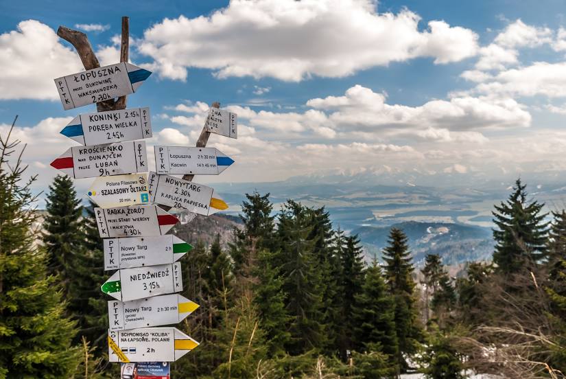
Strzelce Krajeńskie — Nowy Targ distance, route on the map
Distance by car
Distance between Strzelce Krajeńskie, Lubusz Voivodeship, Poland and Nowy Targ, Lesser Poland Voivodeship, Poland by car is — km, or miles. To travel this distance by car, you need minute, or h.
Route on the map, driving directions
Car route Strzelce Krajeńskie — Nowy Targ was created automatically. The road on the map is shown as a blue line. By moving the markers, you can create a new route through the points you need.
Distance by plane
If you decide to take a trip Strzelce Krajeńskie Nowy Targ by plane, then you have to fly the distance — 491 km or 304 miles. It is marked on the map with a gray line (between two points in a straight line).
Flight time
Estimated flight time Strzelce Krajeńskie Nowy Targ by plane at cruising speed 750 km / h will be — 39 min.
Direction of movement
Poland, Strzelce Krajeńskie — right-hand traffic. Poland, Nowy Targ — right-hand traffic.
Difference in time
Strzelce Krajeńskie and Nowy Targ are in the same time zone. Between them there is no time difference (UTC +2 Europe/Warsaw).
Interesting Facts
Information on alternative ways to get to your destination.
The length of this distance is about 1.2% of the total length of the equator.
The percentage of the population is clearly shown in the graph:
Strzelce Krajeńskie — 9,978 (less by 23,785), Nowy Targ — 33,763 residents.
The cost of travel
Calculate the cost of the trip yourself using the fuel consumption calculator, changing the data in the table.