
 Villapinzón
Machetá
Moñitos
Armero tragedy
Sabana de Torres
Sapzurro
Nueva Granada
Nueva Granada
Limonal
El Ciego
Kennedy
Mesitas del Colegio
Totoró
La Mata
San Francisco
Ballestas
Portones
Paujil
Santa Rosa
Villapinzón
Machetá
Moñitos
Armero tragedy
Sabana de Torres
Sapzurro
Nueva Granada
Nueva Granada
Limonal
El Ciego
Kennedy
Mesitas del Colegio
Totoró
La Mata
San Francisco
Ballestas
Portones
Paujil
Santa Rosa
Ocaña on the map, Colombia
Where is located Ocaña
Exact location — Ocaña, Ocaña, North Santander, Colombia, marked on the map with a red marker.
Coordinates
Ocaña, Colombia coordinates in decimal format: latitude — 8.25205, longitude — -73.3532199. When converted to degrees, minutes, seconds Ocaña has the following coordinates: 8°15′7.38 north latitude and -73°21′11.59 east longitude.
Population
Ocaña, Ocaña, North Santander, Colombia, according to our data the population is — 83,511 residents, which is about 0.2% of the total population of the country (Colombia).
Comparison of the population on the graph:
Exact time
Time zone for this location Ocaña — UTC -5 America/Bogota. Exact time — wednesday, 5 may 2024 year, 18 h. 15 minutes.
Sunrise and sunset
Ocaña, sunrise and sunset data for a date — wednesday 1.05.2024.
| Sunrise | Sunset | Day (duration) |
|---|---|---|
| 05:40 -0 minutes | 18:00 -0 minutes | 12 h. 18 minutes. -0 minutes |
You can control the scale of the map using the auxiliary tools to find out exactly where it is located Ocaña. When you change the scale of the map, the width of the ruler also changes (in kilometers and miles).
Nearby cities
The largest cities that are located nearby:
- Cúcuta — 101 km
- Bucaramanga — 127 km
- Giron — 132 km
- San Cristobal
 (Venezuela) — 134 km
 - Floridablanca — 135 km
- Barrancabermeja — 143 km
- Magangué — 188 km
- Ejido (Venezuela) — 233 km
- Merida (Venezuela) — 244 km
- Valledupar — 246 km
- Sincelejo — 252 km
- Monteria — 282 km
- Sogamoso — 284 km
- Tunja — 299 km
- Cabimas (Venezuela) — 313 km
- Bello — 322 km
- Maracaibo (Venezuela) — 323 km
- Malambo — 327 km
- Medellín — 328 km
Distance to neighboring capitals:
- Panama
 (Panama) — 683 km
 - Caracas (Venezuela) — 748 km
- Quito
 (Ecuador) — 1096 km
 - San Jose
 (Costa Rica) — 1194 km
 - Georgetown
 (Guyana) — 1682 km
 - Nuestra Señora de La Paz
 (Bolivia) — 2812 km
 - Asuncion
 (Paraguay) — 4101 km
 - Santiago
 (Chile) — 4646 km
 - Buenos Aires
 (Argentina) — 5020 km
 - Montevideo
 (Uruguay) — 5129 km
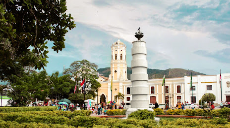
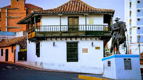
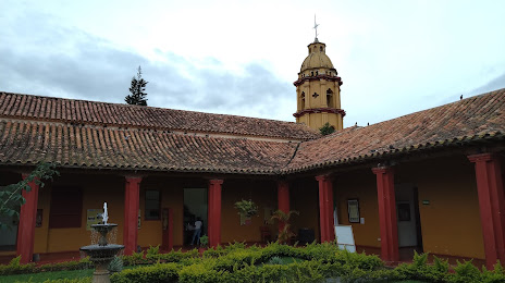
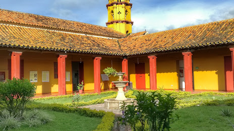
Attractions
Distance to the capital
Distance to the capital (Bogota) is about — 414 km.