
 Lubniewice
Tuszyn
Lutomiersk
Ozorków
Ksawerów
Horyniec-Zdrój
Krzywda
Mosina
Kowary
Liszki
Stryków
Andrespol
Jasieniec
Domaradz
Sulejowek
Piława Górna
Tarnowiec
Błędów
Sierpc
Lubniewice
Tuszyn
Lutomiersk
Ozorków
Ksawerów
Horyniec-Zdrój
Krzywda
Mosina
Kowary
Liszki
Stryków
Andrespol
Jasieniec
Domaradz
Sulejowek
Piława Górna
Tarnowiec
Błędów
Sierpc
Kozienice on the map, Poland
Where is located Kozienice
Exact location — Kozienice, Kozienice County, Masovian Voivodeship, Poland, marked on the map with a red marker.
Coordinates
Kozienice, Poland coordinates in decimal format: latitude — 51.5855328, longitude — 21.5511768. When converted to degrees, minutes, seconds Kozienice has the following coordinates: 51°35′7.92 north latitude and 21°33′4.24 east longitude.
Population
Kozienice, Kozienice County, Masovian Voivodeship, Poland, according to our data the population is — 18,677 residents, which is about 0% of the total population of the country (Poland).
Comparison of the population on the graph:
Exact time
Time zone for this location Kozienice — UTC +2 Europe/Warsaw. Exact time — thursday, 5 may 2024 year, 09 h. 42 minutes.
Sunrise and sunset
Kozienice, sunrise and sunset data for a date — thursday 9.05.2024.
| Sunrise | Sunset | Day (duration) |
|---|---|---|
| 04:54 -1 minute | 20:06 +2 minutes | 15 h. 12 minutes. +3 minutes |
You can control the scale of the map using the auxiliary tools to find out exactly where it is located Kozienice. When you change the scale of the map, the width of the ruler also changes (in kilometers and miles).
Nearby cities
The largest cities that are located nearby:
- Radom — 34 km
- Lublin — 80 km
- Kielce — 102 km
- Łódź — 145 km
- Brest
 (Belarus) — 159 km
 - Plock — 163 km
- Rzeszow — 174 km
- Tarnow — 179 km
- Częstochowa — 190 km
- Bialystok — 202 km
- Kraków — 203 km
- Wloclawek — 204 km
- Dabrowa Gornicza — 217 km
- Sosnowiec — 225 km
- Katowice — 231 km
- Bytom — 231 km
- Chorzow — 232 km
- Kalisz — 238 km
- Zabrze — 240 km
Distance to neighboring capitals:
- Vilnius
 (Lithuania) — 425 km
 - Minsk (Belarus) — 480 km
- Budapest
 (Hungary) — 489 km
 - Bratislava
 (Slovakia) — 498 km
 - Prague
 (Czech Republic) — 527 km
 - Vienna
 (Austria) — 528 km
 - Berlin
 (Germany) — 566 km
 - Rīga
 (Latvia) — 619 km
 - Kyiv
 (Ukraine) — 640 km
 - Copenhagen
 (Denmark) — 746 km
 - Belgrade
 (Serbia) — 761 km
 - Bucharest
 (Romania) — 865 km
 - Helsinki
 (Finland) — 978 km
 - Amsterdam
 (Netherlands) — 1142 km
 - Bern
 (Switzerland) — 1144 km
 - Moscow
 (Russia) — 1152 km
 - Paris
 (France) — 1395 km
 - Tbilisi
 (Georgia) — 2072 km
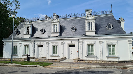
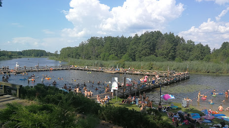
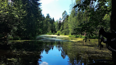
Attractions

Distance to the capital
Distance to the capital (Warsaw) is about — 81 km.