
 El Carbón
Mateo
Las Brisas
Las Mangas
Punta Piedra
Copán Department
Los Terreros
Citalá
Sta. Cruz Arriba
Chichicaste
West Bay
Valle Department
El Mochito
Cedeño
El Llano
Aldea Llano Redondo
Colonia 21 de Octubre
Soto Cano Air Base
Jutiapa
El Carbón
Mateo
Las Brisas
Las Mangas
Punta Piedra
Copán Department
Los Terreros
Citalá
Sta. Cruz Arriba
Chichicaste
West Bay
Valle Department
El Mochito
Cedeño
El Llano
Aldea Llano Redondo
Colonia 21 de Octubre
Soto Cano Air Base
Jutiapa
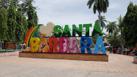
Santa Barbara on the map, Honduras
Where is located Santa Barbara
Exact location — Santa Barbara, Santa Bárbara Department, Honduras, marked on the map with a red marker.
Coordinates
Santa Barbara, Honduras coordinates in decimal format: latitude — 14.9219177, longitude — -88.2375991. When converted to degrees, minutes, seconds Santa Barbara has the following coordinates: 14°55′18.9 north latitude and -88°14′15.36 east longitude.
Population
Santa Barbara, Santa Bárbara Department, Honduras, according to our data the population is — 15,119 residents, which is about 0.2% of the total population of the country (Honduras).
Comparison of the population on the graph:
Exact time
Time zone for this location Santa Barbara — UTC -6 America/Tegucigalpa. Exact time — wednesday, 5 may 2024 year, 11 h. 56 minutes.
Sunrise and sunset
Santa Barbara, sunrise and sunset data for a date — wednesday 8.05.2024.
| Sunrise | Sunset | Day (duration) |
|---|---|---|
| 05:29 -0 minutes | 18:09 -0 minutes | 12 h. 42 minutes. -0 minutes |
You can control the scale of the map using the auxiliary tools to find out exactly where it is located Santa Barbara. When you change the scale of the map, the width of the ruler also changes (in kilometers and miles).
Nearby cities
The largest cities that are located nearby:
- San Pedro Sula — 68 km
- El Progreso — 70 km
- Choloma — 81 km
- Apopa
 (El Salvador) — 159 km
 - San Miguel (El Salvador) — 160 km
- Soyapango (El Salvador) — 165 km
- Mejicanos (El Salvador) — 168 km
- San Salvador (El Salvador) — 172 km
- La Ceiba — 176 km
- Santa Ana (El Salvador) — 176 km
- Santa Tecla (El Salvador) — 178 km
- Guatemala City
 (Guatemala) — 248 km
 - Villa Canales (Guatemala) — 248 km
- Villa Nueva (Guatemala) — 255 km
- San Juan Sacatepéquez (Guatemala) — 258 km
- Chinandega
 (Nicaragua) — 281 km
 - Escuintla (Guatemala) — 282 km
- Lion (Nicaragua) — 312 km
- Quetzaltenango (Guatemala) — 351 km
Distance to neighboring capitals:
- San Salvador (El Salvador) — 173 km
- Guatemala City (Guatemala) — 249 km
- Belmopan
 (Belize) — 265 km
 - Managua (Nicaragua) — 377 km
- San Jose
 (Costa Rica) — 715 km
 - Mexico City
 (Mexico) — 1261 km
Attractions
Distance to the capital
Distance to the capital (Tegucigalpa) is about — 144 km.