Mexico City — Estación Noé
Mexico City — Tlajomulco de Zuniga
Mexico City — San Miguel
Mexico City — Pedriceña
Mexico City — Nuevo Casas Grandes Municipality
Mexico City — Ixtepec
Mexico City — San Martín Coapaxtongo
Mexico City — Ticul
Mexico City — Temixco
Mexico City — Libres
Mexico City — Puebla
Mexico City — Actopan
Mexico City — La Compañia
Mexico City — Federal District
Mexico City — Huixquilucan
Mexico City — Solidaridad
Mexico City — Chiconcuac de Juárez
Mexico City — Chapala
Mexico City — Jiutepec
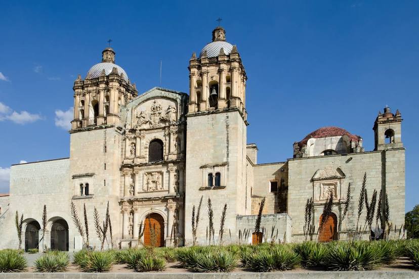
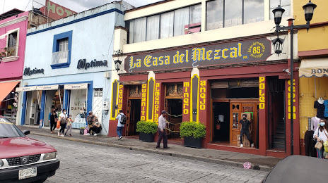
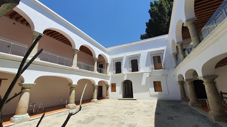
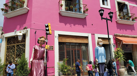
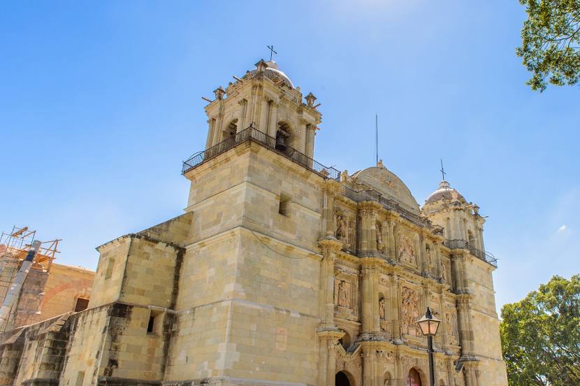
Mexico City — Oaxaca distance, route on the map
Distance by car
Distance between Mexico City, Federal District, Mexico and Oaxaca, Oaxaca, Mexico by car is — km, or miles. To travel this distance by car, you need minute, or h.
Route on the map, driving directions
Car route Mexico City — Oaxaca was created automatically. The road on the map is shown as a blue line. By moving the markers, you can create a new route through the points you need.
Distance by plane
If you decide to take a trip Mexico City Oaxaca by plane, then you have to fly the distance — 367 km or 228 miles. It is marked on the map with a gray line (between two points in a straight line).
Flight time
Estimated flight time Mexico City Oaxaca by plane at cruising speed 750 km / h will be — 29 min.
Direction of movement
Mexico, Mexico City — right-hand traffic. Mexico, Oaxaca — right-hand traffic.
Difference in time
Mexico City and Oaxaca are in the same time zone. Between them there is no time difference (UTC -6 America/Mexico_City).
Interesting Facts
Information on alternative ways to get to your destination.
The length of this distance is about 0.9% of the total length of the equator.
The percentage of the population is clearly shown in the graph:
Mexico City — 12,294,193, Oaxaca — 262,574 residents (less by 12,031,619).
The cost of travel
Calculate the cost of the trip yourself using the fuel consumption calculator, changing the data in the table.