San Jerónimo
Tabasco
Cuautitlán Izcalli
Naucalpan
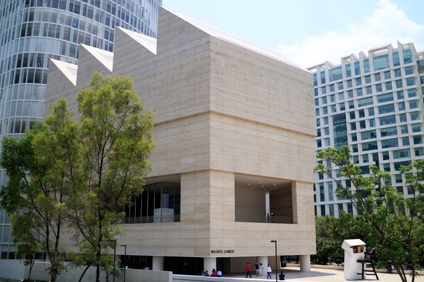
Chapultepec
Zapopan
Guanajuato
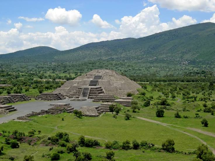
Ocosingo
La Partida
San Nicolás
Ciudad Victoria
Cancún
Piedras Negras
Heroica Veracruz
Merida
Santiago de Querétaro
Tlalnepantla
Ciudad Juarez
Monterrey
San Jerónimo
Tabasco
Cuautitlán Izcalli
Naucalpan
Chapultepec
Zapopan
Guanajuato
Ocosingo
La Partida
San Nicolás
Ciudad Victoria
Cancún
Piedras Negras
Heroica Veracruz
Merida
Santiago de Querétaro
Tlalnepantla
Ciudad Juarez
Monterrey
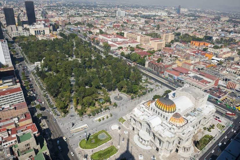
Mexico City on the map, Mexico
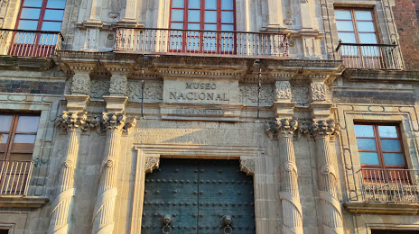
Where is located Mexico City
Exact location — Mexico City, Federal District, Mexico, marked on the map with a red marker.
Coordinates
Mexico City, Mexico coordinates in decimal format: latitude — 19.4326077, longitude — -99.133208. When converted to degrees, minutes, seconds Mexico City has the following coordinates: 19°25′57.39 north latitude and -99°7′59.55 east longitude.
Population
Mexico City, Federal District, Mexico, according to our data the population is — 12,294,193 residents, which is about 9.5% of the total population of the country (Mexico).
Comparison of the population on the graph:
Exact time
Time zone for this location Mexico City — UTC -6 America/Mexico_City. Exact time — friday, 4 april 2024 year, 14 h. 45 minutes.
Sunrise and sunset
Mexico City, sunrise and sunset data for a date — friday 26.04.2024.
| Sunrise | Sunset | Day (duration) |
|---|---|---|
| 06:13 -0 minutes | 18:55 -0 minutes | 12 h. 42 minutes. -0 minutes |
You can control the scale of the map using the auxiliary tools to find out exactly where it is located Mexico City. When you change the scale of the map, the width of the ruler also changes (in kilometers and miles).
Nearby cities
The largest cities that are located nearby:
- Naucalpan — 12 km
- Tlalnepantla — 13 km
- Ciudad Nezahualcóyotl — 15 km
- Chimalhuacan — 18 km
- Buenavista — 19 km
- Ciudad López Mateos — 20 km
- Ecatepec — 21 km
- Coacalco — 22 km
- Cuautitlán Izcalli — 27 km
- Texcoco — 27 km
- Ojo de Agua — 29 km
- Ixtapaluca — 30 km
- Chalco de Díaz Covarrubias — 31 km
- Metepec — 52 km
- Cuernavaca — 57 km
- Toluca — 57 km
- Jiutepec — 61 km
- Cuautla — 71 km
- Pachuca — 83 km
Distance to neighboring capitals:
- Guatemala City
 (Guatemala) — 1060 km
 - Belmopan
 (Belize) — 1121 km
 - Tegucigalpa
 (Honduras) — 1401 km
 - Washington
 (United States) — 3033 km
 - Saint John
 (Puerto Rico) — 3471 km
 - Ottawa
 (Canada) — 3604 km
 - Belgrade
 (Serbia) — 10623 km
 - Podgorica
 (Montenegro) — 10690 km
 - Hagåtña
 (Guam) — 12128 km