Caarapó — Fundão
Caarapó — Camaçari
Caarapó — Pontalina
Caarapó — Jaguaripe
Caarapó — Panorama
Caarapó — Virgínia
Caarapó — Missionário
Caarapó — Cocos
Caarapó — Santarém
Caarapó — Canal Torto
Caarapó — Soure
Caarapó — Olindina
Caarapó — Bebedouro
Caarapó — Lagarto
Caarapó — Andirá
Caarapó — Senhor do Bonfim
Caarapó — Bofete
Caarapó — Oriente
Caarapó — Alfredo Wagner
Eldorado
Mundo Novo
Salto del Guairá
Caarapó — Fundão
Caarapó — Camaçari
Caarapó — Pontalina
Caarapó — Jaguaripe
Caarapó — Panorama
Caarapó — Virgínia
Caarapó — Missionário
Caarapó — Cocos
Caarapó — Santarém
Caarapó — Canal Torto
Caarapó — Soure
Caarapó — Olindina
Caarapó — Bebedouro
Caarapó — Lagarto
Caarapó — Andirá
Caarapó — Senhor do Bonfim
Caarapó — Bofete
Caarapó — Oriente
Caarapó — Alfredo Wagner
Eldorado
Mundo Novo
Salto del Guairá  Salto del Guairá
Guaíra
Marechal Cândido Rondon
Pato Bragado
Santa Helena
Santa Helena
Missal
São Miguel do Iguaçu
Foz do Iguacu
Presidente Franco
Puerto Iguazú
Salto del Guairá
Guaíra
Marechal Cândido Rondon
Pato Bragado
Santa Helena
Santa Helena
Missal
São Miguel do Iguaçu
Foz do Iguacu
Presidente Franco
Puerto Iguazú  Puerto Iguazú
Iguazu Falls
Paulito
Puerto Libertad
Wanda
Puerto Esperanza
The Golden
Eldorado
Puerto Piray
Montecarlo
Caraguatay
Dos de Mayo
Alba Posse
Porto Mauá
Tuparendi
Santa Rosa
Giruá
Puerto Iguazú
Iguazu Falls
Paulito
Puerto Libertad
Wanda
Puerto Esperanza
The Golden
Eldorado
Puerto Piray
Montecarlo
Caraguatay
Dos de Mayo
Alba Posse
Porto Mauá
Tuparendi
Santa Rosa
Giruá
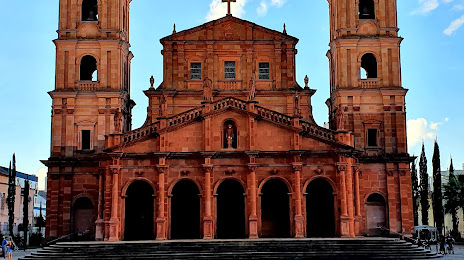
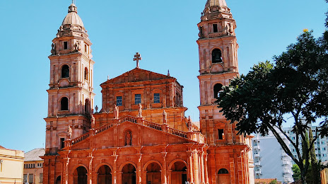
Caarapó — Santo Ângelo distance, route on the map
Distance by car
Distance between Caarapó, Mato Grosso do Sul, Brazil and Santo Ângelo, Rio Grande do Sul, Brazil by car is — km, or miles. To travel this distance by car, you need minute, or h.
Route on the map, driving directions
Car route Caarapó — Santo Ângelo was created automatically. The road on the map is shown as a blue line. By moving the markers, you can create a new route through the points you need.
Passing cities through which the car route passes: Naviraí, Eldorado, Mundo Novo, Salto del Guairá (py), Salto del Guairá (py), Guaíra, Marechal Cândido Rondon, Pato Bragado, Santa Helena, Santa Helena, Missal, São Miguel do Iguaçu, Foz do Iguacu, Presidente Franco (py), Puerto Iguazú (ar), Puerto Iguazú (ar), Iguazu Falls (ar), Paulito (ar), Puerto Libertad (ar), Wanda (ar), Puerto Esperanza (ar), The Golden (ar), Eldorado (ar), Puerto Piray (ar), Montecarlo (ar), Caraguatay (ar), Dos de Mayo (ar), Alba Posse (ar), Porto Mauá, Tuparendi, Santa Rosa, Giruá.
Distance by plane
If you decide to take a trip Caarapó Santo Ângelo by plane, then you have to fly the distance — 633 km or 392 miles. It is marked on the map with a gray line (between two points in a straight line).
Flight time
Estimated flight time Caarapó Santo Ângelo by plane at cruising speed 750 km / h will be — 50 min.
Direction of movement
Brazil, Caarapó — right-hand traffic. Brazil, Santo Ângelo — right-hand traffic.
Difference in time
Caarapó and Santo Ângelo are in different time zones. The time difference is 1 hour (UTC -4 America/Campo_Grande, UTC -3 America/Sao_Paulo).
Interesting Facts
Information on alternative ways to get to your destination.
The length of this distance is about 1.6% of the total length of the equator.
The percentage of the population is clearly shown in the graph:
Caarapó — 13,863 (less by 50,743), Santo Ângelo — 64,606 residents.
The cost of travel
Calculate the cost of the trip yourself using the fuel consumption calculator, changing the data in the table.