
 Río Cuarto
General Belgrano
Saladillo
Corral de Bustos
Bahía Blanca
Miramar
Esmeralda
Dolores
Luro
Catamarca
Grand Bourg
La Rioja
Villa Adelina
Trenque Lauquen
Punta Alta
Centenario
San Antonio de Padua
Libertad
Luis Guillón
Río Cuarto
General Belgrano
Saladillo
Corral de Bustos
Bahía Blanca
Miramar
Esmeralda
Dolores
Luro
Catamarca
Grand Bourg
La Rioja
Villa Adelina
Trenque Lauquen
Punta Alta
Centenario
San Antonio de Padua
Libertad
Luis Guillón
Puerto Iguazú on the map, Argentina
Where is located Puerto Iguazú
Exact location — Puerto Iguazú, Iguazú, Misiones Province, Argentina, marked on the map with a red marker.
Coordinates
Puerto Iguazú, Argentina coordinates in decimal format: latitude — -25.5971635, longitude — -54.578599. When converted to degrees, minutes, seconds Puerto Iguazú has the following coordinates: -25°35′49.79 north latitude and -54°34′42.96 east longitude.
Population
Puerto Iguazú, Iguazú, Misiones Province, Argentina, according to our data the population is — 32,038 residents, which is about 0.1% of the total population of the country (Argentina).
Comparison of the population on the graph:
Exact time
Time zone for this location Puerto Iguazú — UTC -3 America/Cordoba. Exact time — saturday, 5 may 2024 year, 11 h. 33 minutes.
Sunrise and sunset
Puerto Iguazú, sunrise and sunset data for a date — saturday 4.05.2024.
| Sunrise | Sunset | Day (duration) |
|---|---|---|
| 07:05 -0 minutes | 18:04 -0 minutes | 11 h. 0 minutes. -0 minutes |
You can control the scale of the map using the auxiliary tools to find out exactly where it is located Puerto Iguazú. When you change the scale of the map, the width of the ruler also changes (in kilometers and miles).
Nearby cities
The largest cities that are located nearby:
- Foz do Iguaçu
 (Brazil) — 9 km
 - Ciudad del Este
 (Paraguay) — 10 km
 - Cascavel (Brazil) — 133 km
- Posadas — 234 km
- Chapecó (Brazil) — 255 km
- Capiata (Paraguay) — 288 km
- Luque (Paraguay) — 293 km
- San Lorenzo (Paraguay) — 295 km
- Fernando De La Mora (Paraguay) — 298 km
- Lambare (Paraguay) — 304 km
- Asuncion (Paraguay) — 308 km
- Guarapuava (Brazil) — 312 km
- Maringá (Brazil) — 360 km
- Passo Fundo (Brazil) — 362 km
- Formosa — 363 km
- Dourados (Brazil) — 374 km
- Apucarana (Brazil) — 388 km
- Santa Maria (Brazil) — 458 km
- Corrientes — 467 km
Distance to neighboring capitals:
- Asuncion (Paraguay) — 303 km
- Asuncion (Paraguay) — 309 km
- Montevideo
 (Uruguay) — 1046 km
 - Nuestra Señora de La Paz
 (Bolivia) — 1732 km
 - Santiago
 (Chile) — 1780 km
 - Bogota
 (Colombia) — 3963 km
 - Caracas
 (Venezuela) — 4234 km
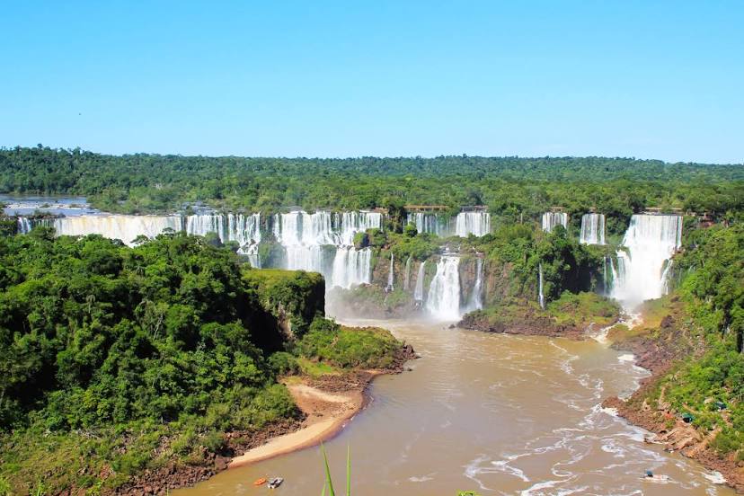
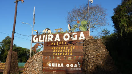
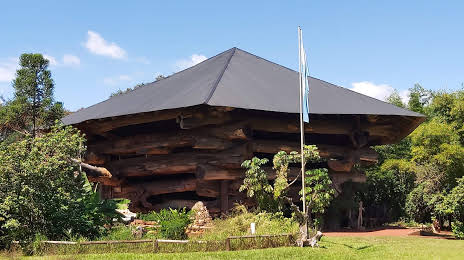
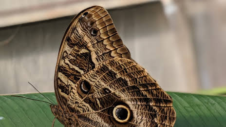
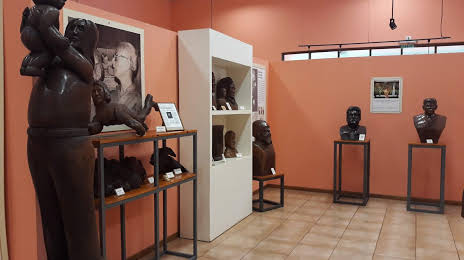
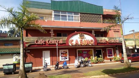
Attractions


Distance to the capital
Distance to the capital (Buenos Aires) is about — 1066 km.