São Thomé das Letras — Bicas
São Thomé das Letras — Prado
São Thomé das Letras — Nazaré
São Thomé das Letras — São Joaquim
São Thomé das Letras — Paraíso do Sul
São Thomé das Letras — Inhambupe
São Thomé das Letras — Morada Nova
São Thomé das Letras — Santos
São Thomé das Letras — Rodolfo Fernandes
São Thomé das Letras — Três Marias
São Thomé das Letras — Videira
São Thomé das Letras — Rosário
São Thomé das Letras — Ribeirão Cascalheira
São Thomé das Letras — Dom Pedrito
São Thomé das Letras — Urandi
São Thomé das Letras — Coronel Fabriciano
São Thomé das Letras — Ibiracatu
São Thomé das Letras — Morro Agudo
São Thomé das Letras — Ibiá
Carmo da Cachoeira
Santo Antônio do Amparo
Oliveira
Oliveira
Itatiaiuçu
Igarapé
São Joaquim de Bicas
Betim
Contagem
Ribeirão das Neves
Ribeirão das Neves
Sete Lagoas
Paraopeba
Três Marias
João Pinheiro
Paracatu
Cristalina
Luziânia
Federal District
São Thomé das Letras — Bicas
São Thomé das Letras — Prado
São Thomé das Letras — Nazaré
São Thomé das Letras — São Joaquim
São Thomé das Letras — Paraíso do Sul
São Thomé das Letras — Inhambupe
São Thomé das Letras — Morada Nova
São Thomé das Letras — Santos
São Thomé das Letras — Rodolfo Fernandes
São Thomé das Letras — Três Marias
São Thomé das Letras — Videira
São Thomé das Letras — Rosário
São Thomé das Letras — Ribeirão Cascalheira
São Thomé das Letras — Dom Pedrito
São Thomé das Letras — Urandi
São Thomé das Letras — Coronel Fabriciano
São Thomé das Letras — Ibiracatu
São Thomé das Letras — Morro Agudo
São Thomé das Letras — Ibiá
Carmo da Cachoeira
Santo Antônio do Amparo
Oliveira
Oliveira
Itatiaiuçu
Igarapé
São Joaquim de Bicas
Betim
Contagem
Ribeirão das Neves
Ribeirão das Neves
Sete Lagoas
Paraopeba
Três Marias
João Pinheiro
Paracatu
Cristalina
Luziânia
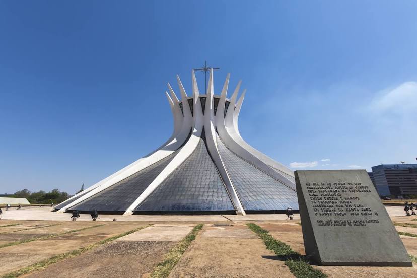
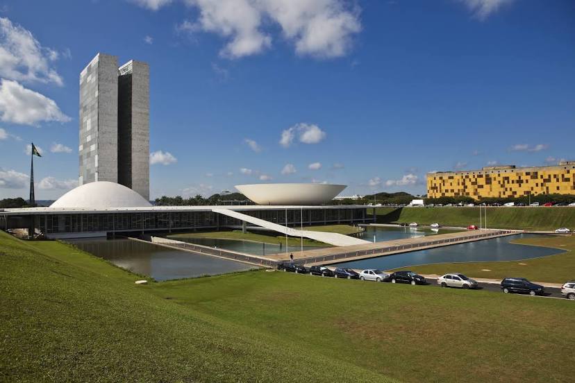
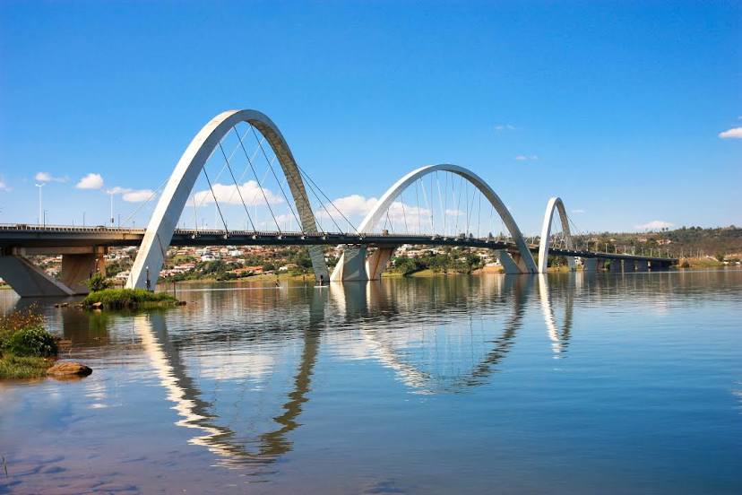
Federal District
São Thomé das Letras — Brasília distance, route on the map
Distance by car
Distance between São Thomé das Letras, Minas Gerais, Brazil and Brasília, Federal District, Brazil by car is — km, or miles. To travel this distance by car, you need minute, or h.
Route on the map, driving directions
Car route São Thomé das Letras — Brasília was created automatically. The road on the map is shown as a blue line. By moving the markers, you can create a new route through the points you need.
Passing cities through which the car route passes: Carmo da Cachoeira, Carmo da Cachoeira, Santo Antônio do Amparo, Oliveira, Oliveira, Itatiaiuçu, Igarapé, São Joaquim de Bicas, Betim, Contagem, Ribeirão das Neves, Ribeirão das Neves, Sete Lagoas, Paraopeba, Três Marias, João Pinheiro, Paracatu, Cristalina, Luziânia, Federal District.
Distance by plane
If you decide to take a trip São Thomé das Letras Brasília by plane, then you have to fly the distance — 727 km or 451 miles. It is marked on the map with a gray line (between two points in a straight line).
Flight time
Estimated flight time São Thomé das Letras Brasília by plane at cruising speed 750 km / h will be — 58 min.
Direction of movement
Brazil, São Thomé das Letras — right-hand traffic. Brazil, Brasília — right-hand traffic.
Difference in time
São Thomé das Letras and Brasília are in the same time zone. Between them there is no time difference (UTC -3 America/Sao_Paulo).
Interesting Facts
Information on alternative ways to get to your destination.
The length of this distance is about 1.8% of the total length of the equator.
The cost of travel
Calculate the cost of the trip yourself using the fuel consumption calculator, changing the data in the table.