
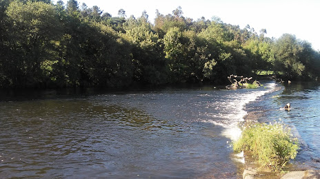
 San Pedro del Valle
La Tala
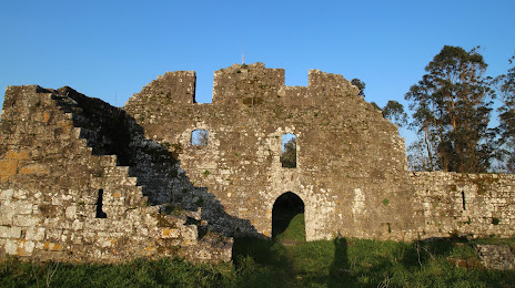
Choi
Peratallada
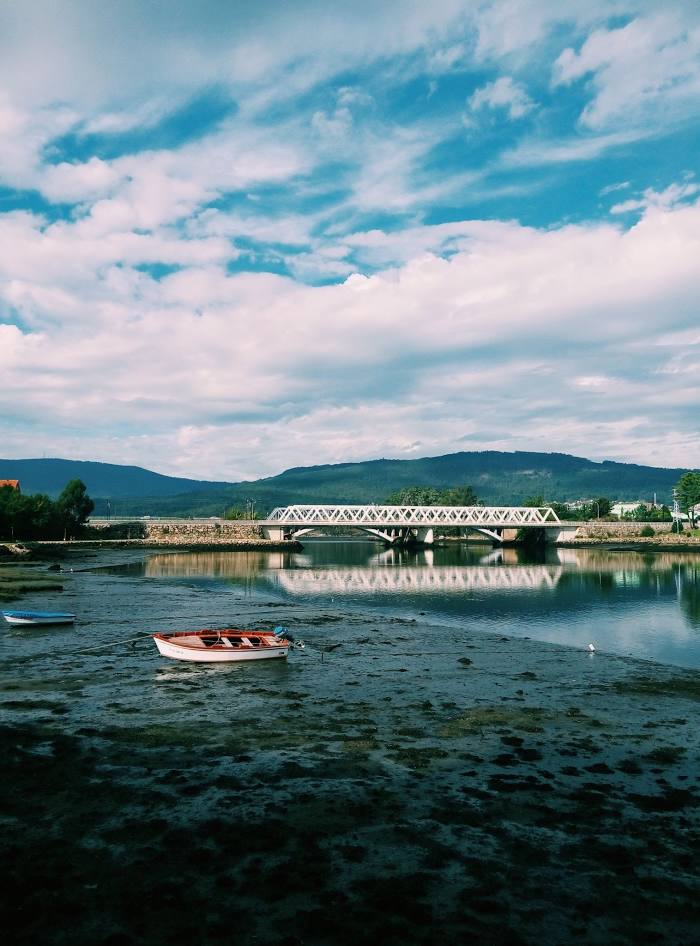
Pontedeume
Arroyo Frio
Arre
Aizoáin
Los Tojos
Granada
Corvera
Alcolea
Castellón
Vilac
El Raposo
Urbiés
Pola de Allande
Sabaris
Gospí
San Pedro del Valle
La Tala
Choi
Peratallada
Pontedeume
Arroyo Frio
Arre
Aizoáin
Los Tojos
Granada
Corvera
Alcolea
Castellón
Vilac
El Raposo
Urbiés
Pola de Allande
Sabaris
Gospí
Ames on the map, Spain
Where is located Ames
Exact location — Ames, A Coruña, Galicia, Spain, marked on the map with a red marker.
Coordinates
Ames, Spain coordinates in decimal format: latitude — 42.9038027, longitude — -8.6583677. When converted to degrees, minutes, seconds Ames has the following coordinates: 42°54′13.69 north latitude and -8°39′30.12 east longitude.
Population
Ames, A Coruña, Galicia, Spain, according to our data the population is — 26,983 residents, which is about 0.1% of the total population of the country (Spain).
Comparison of the population on the graph:
Exact time
Time zone for this location Ames — UTC +2 Europe/Madrid. Exact time — sunday, 5 may 2024 year, 06 h. 13 minutes.
Sunrise and sunset
Ames, sunrise and sunset data for a date — sunday 5.05.2024.
| Sunrise | Sunset | Day (duration) |
|---|---|---|
| 07:25 -2 minutes | 21:36 +1 minute | 14 h. 12 minutes. +3 minutes |
You can control the scale of the map using the auxiliary tools to find out exactly where it is located Ames. When you change the scale of the map, the width of the ruler also changes (in kilometers and miles).
Nearby cities
The largest cities that are located nearby:
- A Coruña — 54 km
- Vigo — 74 km
- Ourense — 90 km
- Braga
 (Portugal) — 151 km
 - Porto (Portugal) — 193 km
- Oviedo — 231 km
- Gijón — 250 km
- León — 254 km
- Coimbra (Portugal) — 299 km
- Salamanca — 329 km
- Valladolid — 353 km
- Santander — 394 km
- Burgos — 410 km
- Amadora (Portugal) — 461 km
- Queluz (Portugal) — 461 km
- Bilbao — 463 km
- Lisbon (Portugal) — 464 km
- Badajoz — 468 km
- Vitoria-Gasteiz — 484 km
Distance to neighboring capitals:
- Lisbon (Portugal) — 467 km
- Andorra la Vella
 (Andorra) — 833 km
 - Rabat
 (Morocco) — 1006 km
 - Paris
 (France) — 1078 km
 - Paris (France) — 1078 km
Attractions
Distance to the capital
Distance to the capital (Madrid) is about — 496 km.