 Lassen County
Lula
Hospital Helipad
Voda
Odra
Valencia
Morrow
Llano Grande
Warner
Dayton
Bristol
Marion
Anderson
Lancaster
Tampa International Airport
Gypsum
Parma
Silesia
Gas
Lassen County
Lula
Hospital Helipad
Voda
Odra
Valencia
Morrow
Llano Grande
Warner
Dayton
Bristol
Marion
Anderson
Lancaster
Tampa International Airport
Gypsum
Parma
Silesia
Gas
River Forest on the map, United States
Where is located River Forest
Exact location — River Forest, Cook County, Illinois, United States, marked on the map with a red marker.
Coordinates
River Forest, United States coordinates in decimal format: latitude — 41.8978091, longitude — -87.8139483. When converted to degrees, minutes, seconds River Forest has the following coordinates: 41°53′52.11 north latitude and -87°48′50.21 east longitude.
Population
River Forest, Cook County, Illinois, United States, according to our data the population is — 11,172 residents, which is about 0% of the total population of the country (United States).
Comparison of the population on the graph:
Exact time
Time zone for this location River Forest — UTC -5 America/Chicago. Exact time — thursday, 4 april 2024 year, 22 h. 37 minutes.
Sunrise and sunset
River Forest, sunrise and sunset data for a date — thursday 25.04.2024.
| Sunrise | Sunset | Day (duration) |
|---|---|---|
| 05:57 -2 minutes | 19:40 +1 minute | 13 h. 42 minutes. +3 minutes |
You can control the scale of the map using the auxiliary tools to find out exactly where it is located River Forest. When you change the scale of the map, the width of the ruler also changes (in kilometers and miles).
Nearby cities
The largest cities that are located nearby:
- Chicago — 15 km
- Naperville — 32 km
- Aurora — 44 km
- Joliet — 47 km
- Rockford — 113 km
- Milwaukee — 126 km
- South Bend — 131 km
- Madison — 183 km
- Peoria — 200 km
- Grand Rapids — 210 km
- Fort Wayne — 241 km
- Indianapolis — 274 km
- Lansing — 280 km
- Green Bay — 290 km
- Ann Arbor — 336 km
- Toledo — 353 km
- Flint — 356 km
- Detroit — 393 km
- Windsor
 (Canada) — 393 km
Distance to neighboring capitals:
- Ottawa (Canada) — 1049 km
- Mexico City
 (Mexico) — 2717 km
 - Belmopan
 (Belize) — 2743 km
 - Guatemala City
 (Guatemala) — 3046 km
 - Nuuk
 (Greenland) — 3373 km
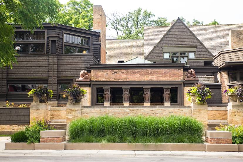
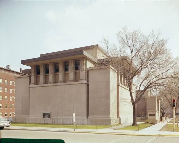
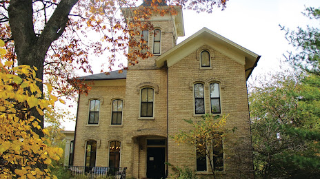
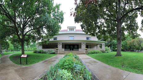
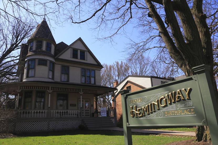
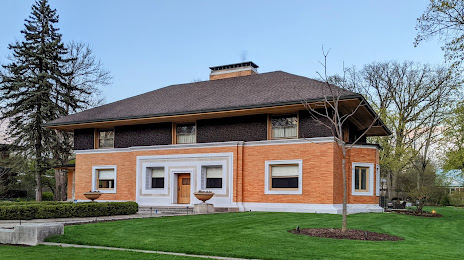
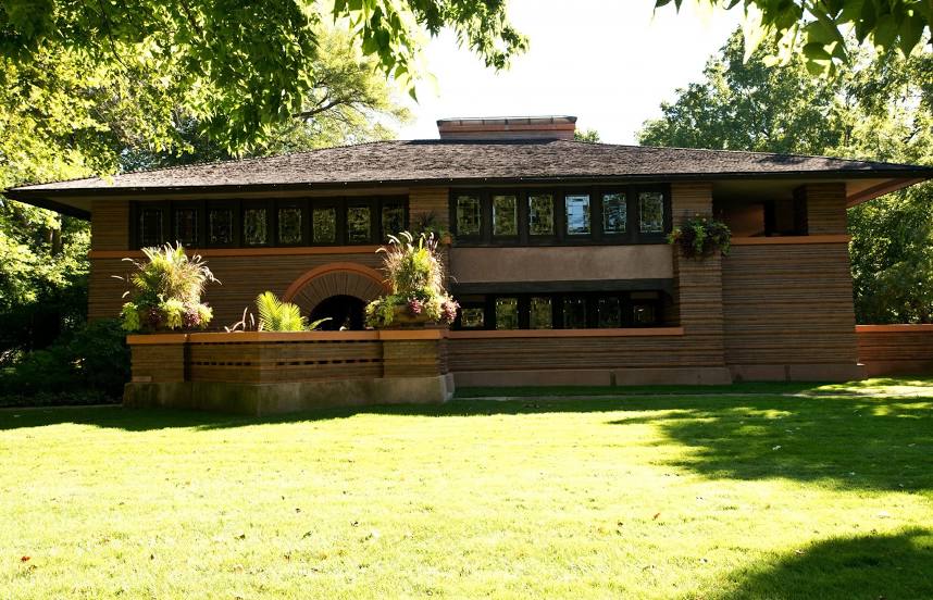
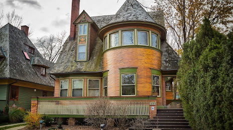
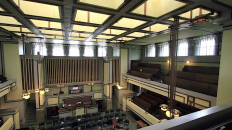
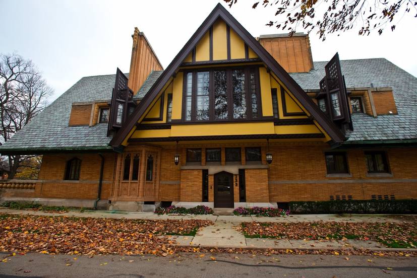
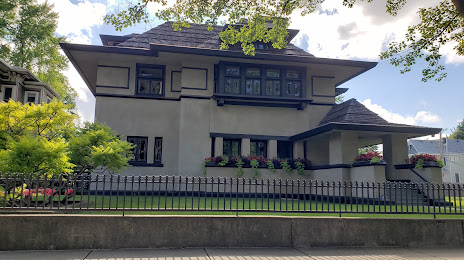
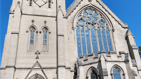
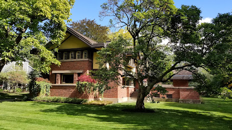
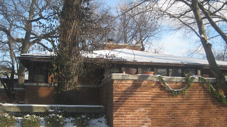
Attractions
Distance to the capital
Distance to the capital (Washington) is about — 971 km.