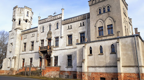
Siedlisko — Szczuczyn
Siedlisko — Czarna Woda
Siedlisko — Stężyca
Siedlisko — Kruszyniany
Siedlisko — Rozogi
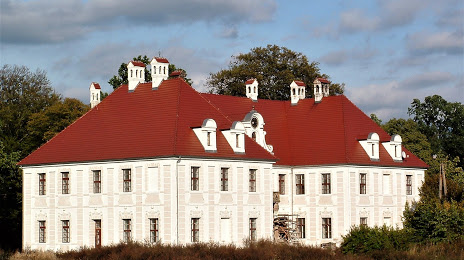
Siedlisko — Glinik Zaborowski
Siedlisko — Rzemieniewice
Siedlisko — Wołczyn
Siedlisko — Przeworsk
Siedlisko — Gmina Platerówka
Siedlisko — Zielonka
Siedlisko — Reszel
Siedlisko — Milejewo
Siedlisko — Chełmek
Siedlisko — Wolica
Siedlisko — Oliwa
Siedlisko — Rząska
Siedlisko — Dobczyce
Siedlisko — Drzewica
Siedlisko — Szczuczyn
Siedlisko — Czarna Woda
Siedlisko — Stężyca
Siedlisko — Kruszyniany
Siedlisko — Rozogi
Siedlisko — Glinik Zaborowski
Siedlisko — Rzemieniewice
Siedlisko — Wołczyn
Siedlisko — Przeworsk
Siedlisko — Gmina Platerówka
Siedlisko — Zielonka
Siedlisko — Reszel
Siedlisko — Milejewo
Siedlisko — Chełmek
Siedlisko — Wolica
Siedlisko — Oliwa
Siedlisko — Rząska
Siedlisko — Dobczyce
Siedlisko — Drzewica
Siedlisko — Nowa Sol distance, route on the map
Distance by car
Distance between Siedlisko, Lubusz Voivodeship, Poland and Nowa Sol, Lubusz Voivodeship, Poland by car is — km, or miles. To travel this distance by car, you need minute, or h.
Route on the map, driving directions
Car route Siedlisko — Nowa Sol was created automatically. The road on the map is shown as a blue line. By moving the markers, you can create a new route through the points you need.
Distance by plane
If you decide to take a trip Siedlisko Nowa Sol by plane, then you have to fly the distance — 8 km or 5 miles. It is marked on the map with a gray line (between two points in a straight line).
Flight time
Estimated flight time Siedlisko Nowa Sol by plane at cruising speed 750 km / h will be —
Direction of movement
Poland, Siedlisko — right-hand traffic. Poland, Nowa Sol — right-hand traffic.
Difference in time
Siedlisko and Nowa Sol are in the same time zone. Between them there is no time difference (UTC +2 Europe/Warsaw).
Interesting Facts
Information on alternative ways to get to your destination.
The length of this distance is about 0.0% of the total length of the equator.
The percentage of the population is clearly shown in the graph:
Siedlisko — 1,800 (less by 38,554), Nowa Sol — 40,354 residents.
The cost of travel
Calculate the cost of the trip yourself using the fuel consumption calculator, changing the data in the table.